CAW - means calf, but there is nothing docile and gentle in its temperament. But it is the view to the Scafells, at any time of year, that will win most hearts. The picture is a classic
A. Wainwright |

| Caw | |||||
| Date | 23/11/2003 |
|
|||
| Walks done by: | Jed | ||||
| Weather: | Slightly misty to start - sunshine to finish. Warm and hazy. | ||||
| Distance | 5.2 miles. | ||||
| Started at: | Grid Ref 217957 near Hall Dunderdale | ||||
| Height:- | |||||
| Caw | 1735' | ||||
|
|||||
| Start of the walk and the path to Park Head Road is the first stage | |||||
|
|||||
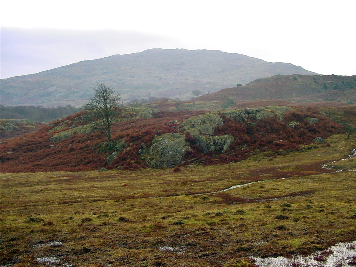
| Gaining height as I approach the sheep pen. White Maiden, in the distance, is covered in cloud. | |||||
|
|||||
|
|||||
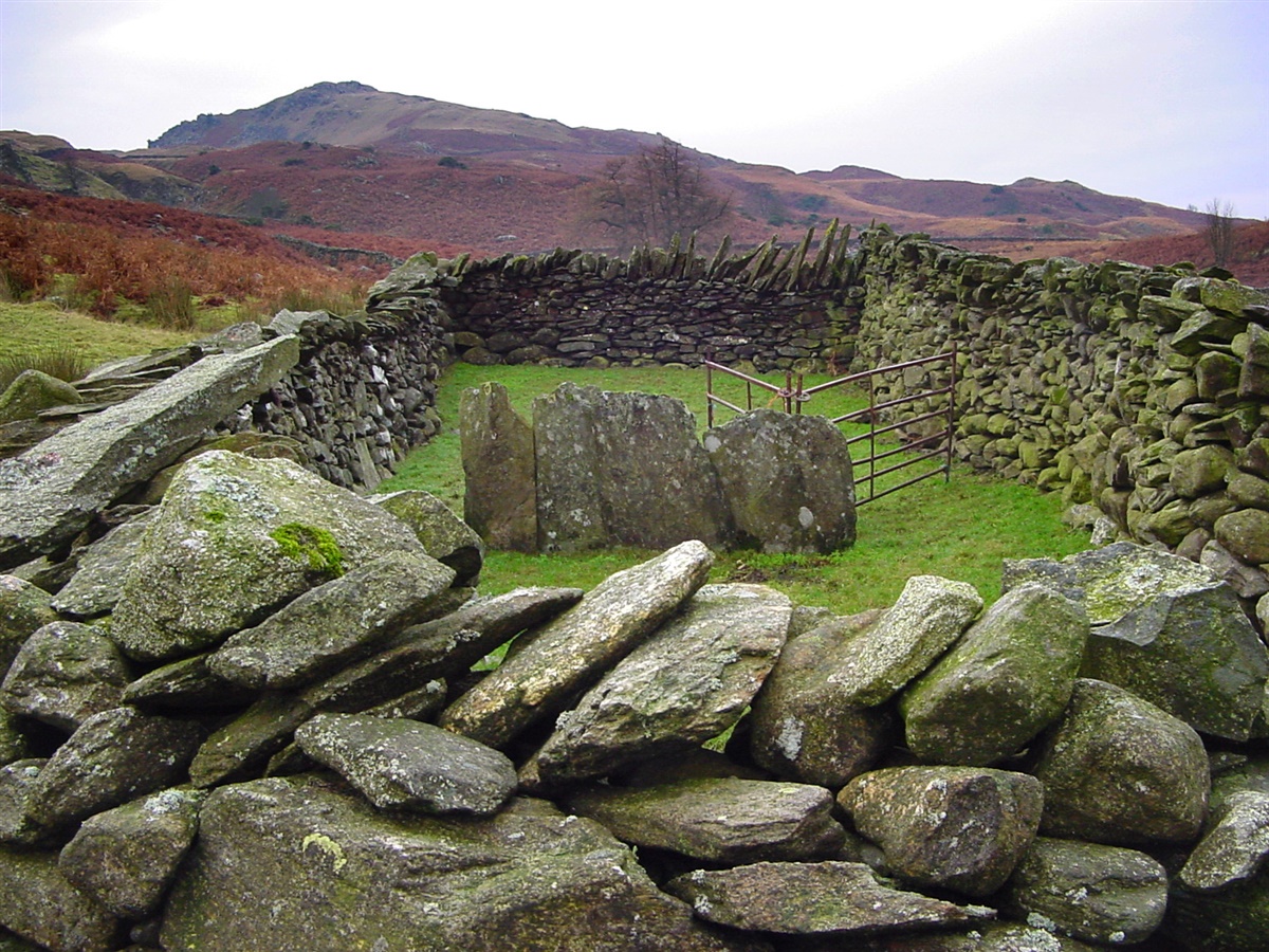
| Sheep pen on Park Head Road | |||||
|
|||||
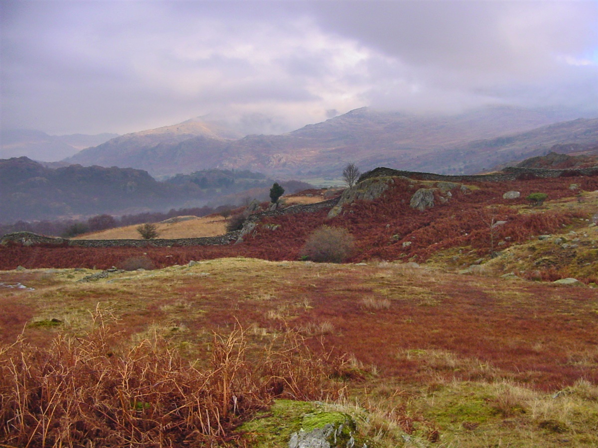
| The view from the quarry track | |||||
|
|||||
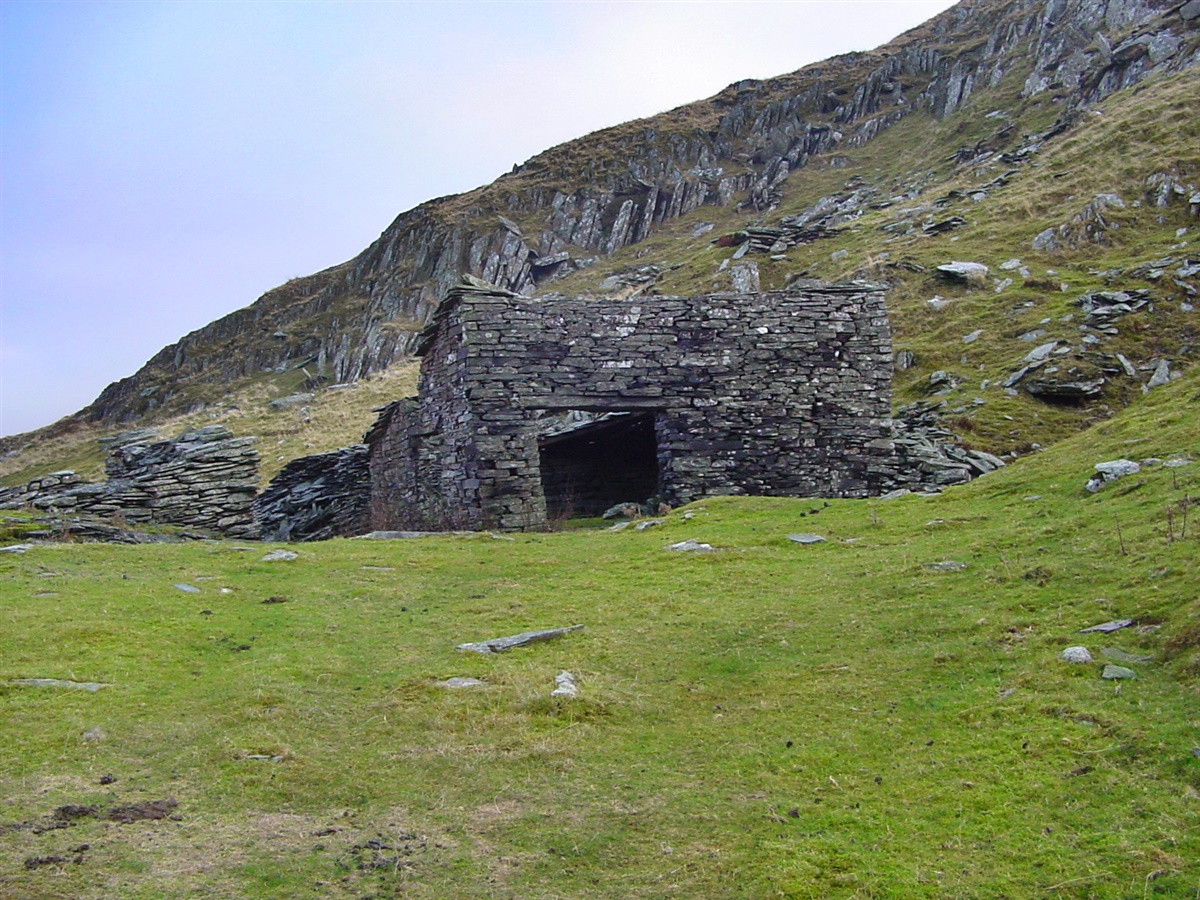
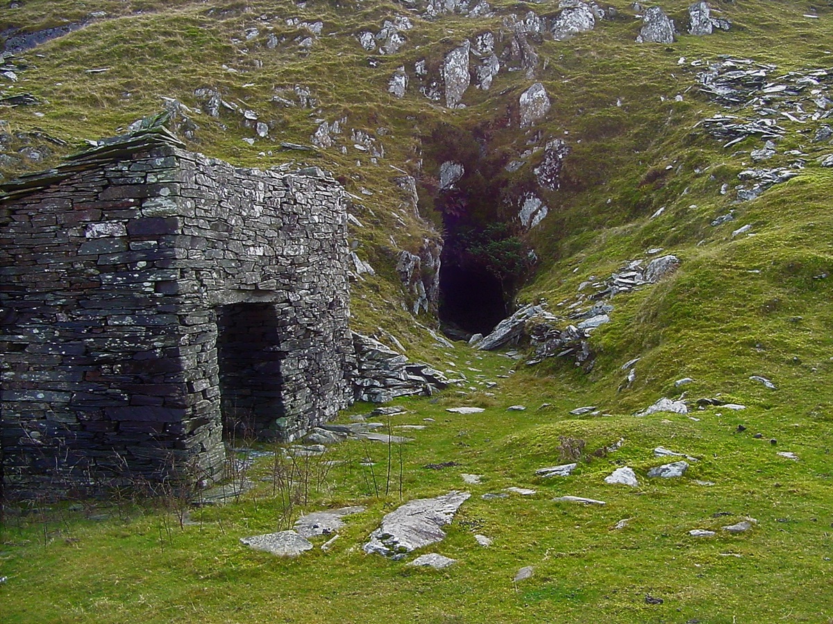
| First glimpse of old mine building | |||||
|
|||||
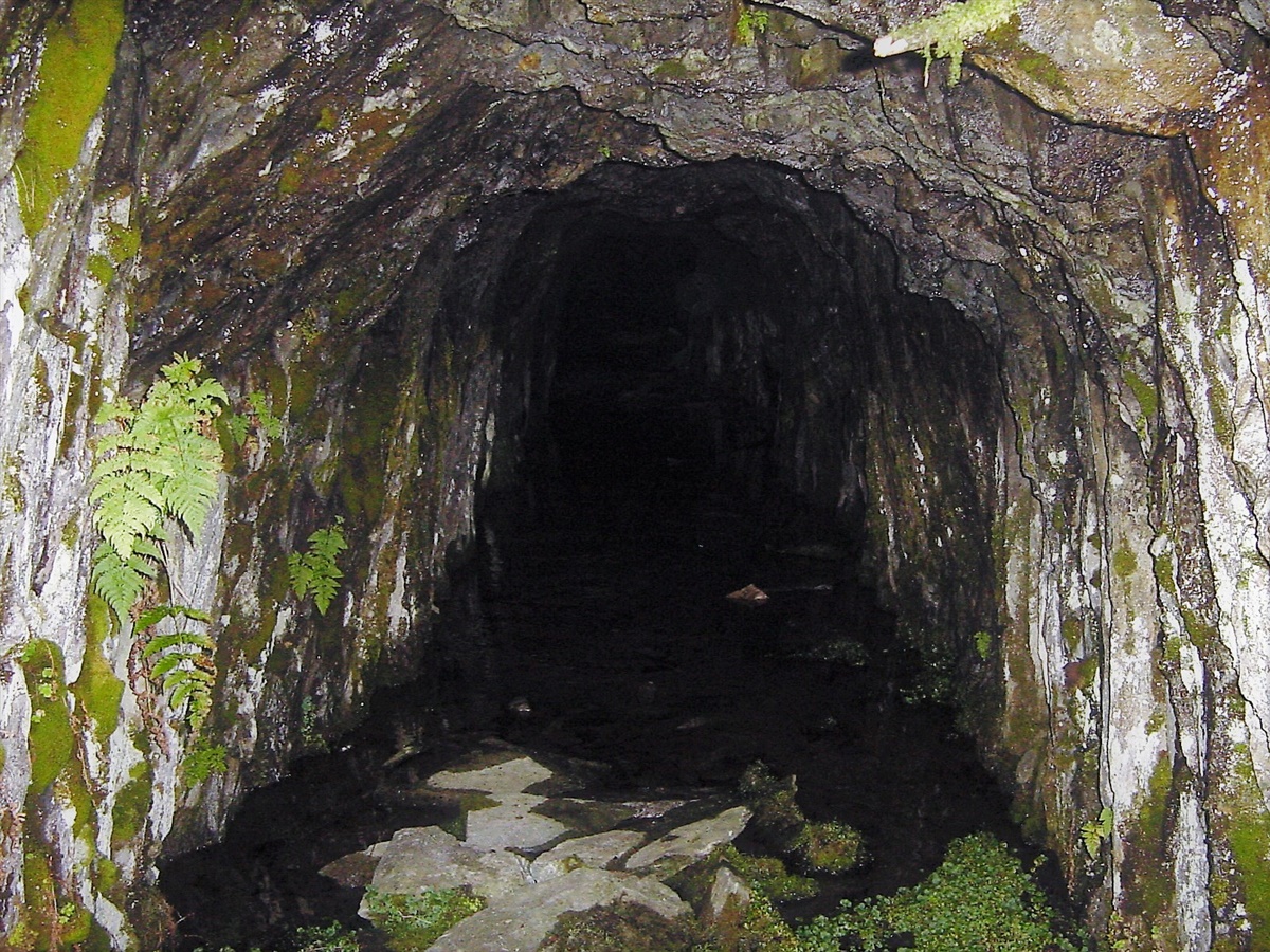
| Entrance to the old mine. See Caw 2015 for photo's inside the mine, which opens up into a large cavernl. | |||||
|
|||||
| A mine building - but of no use for shelter as it has no roof. | |||||
|
|||||
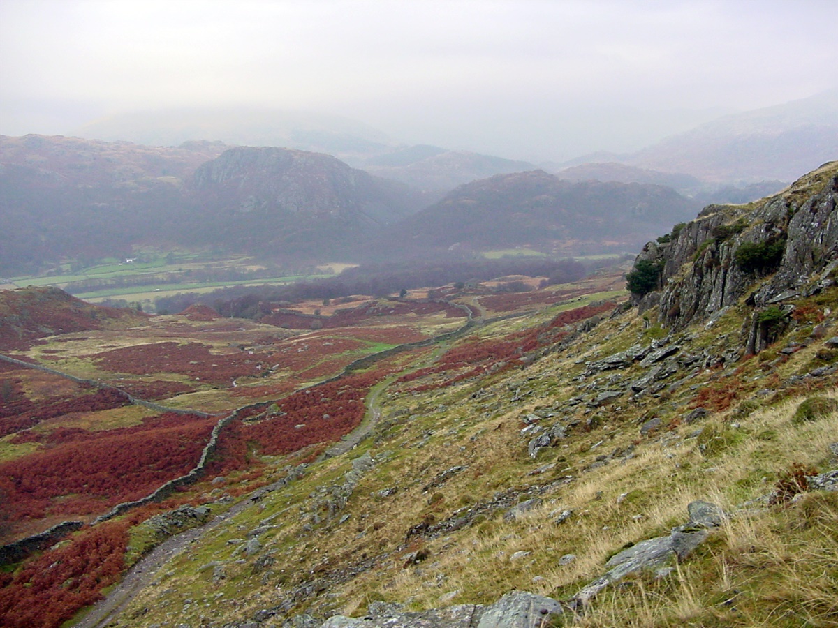
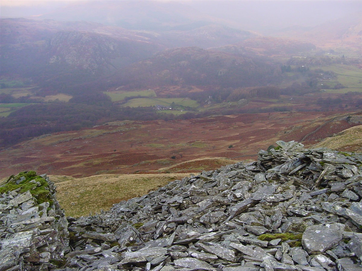
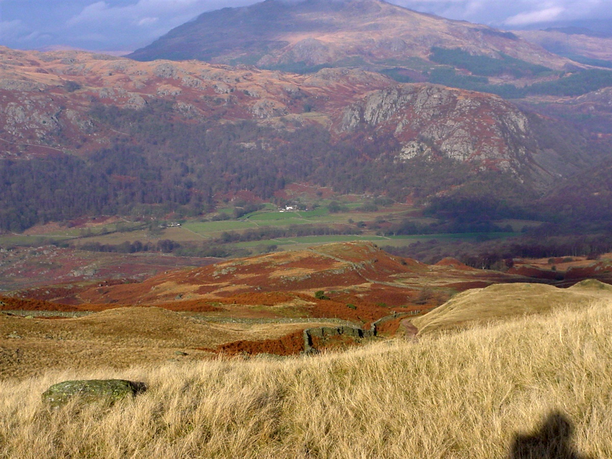
| Looking down to the valley from the spoil of the mine | |||||
|
|||||
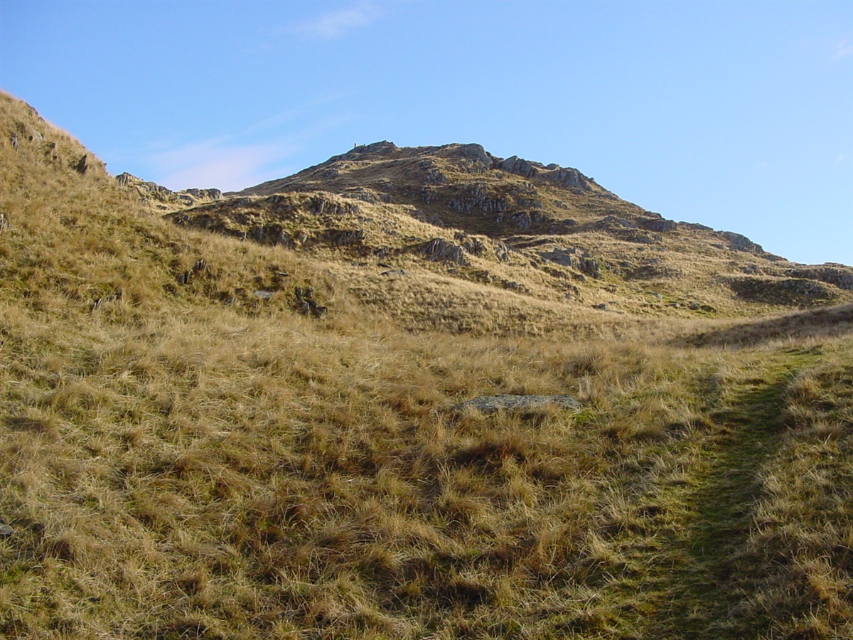
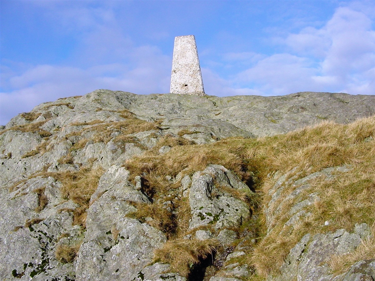
| Our path to the top and the Trig point is just visible on the summit | |||||
|
|||||
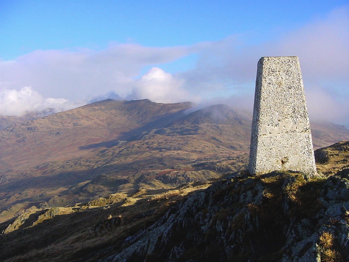
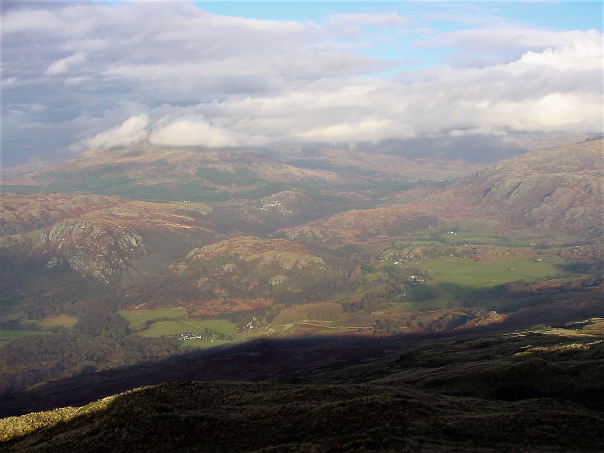
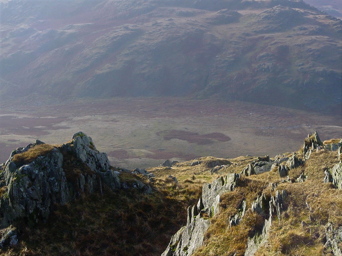
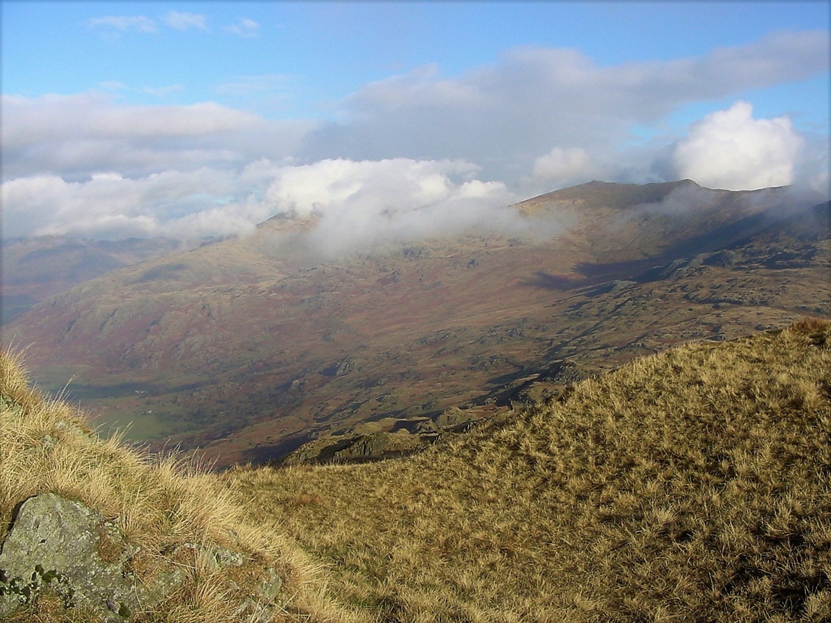
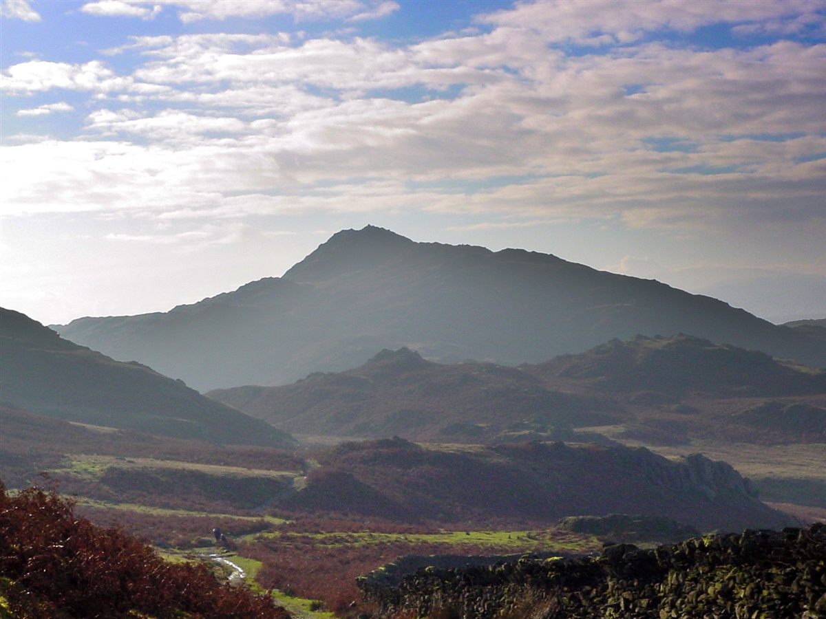
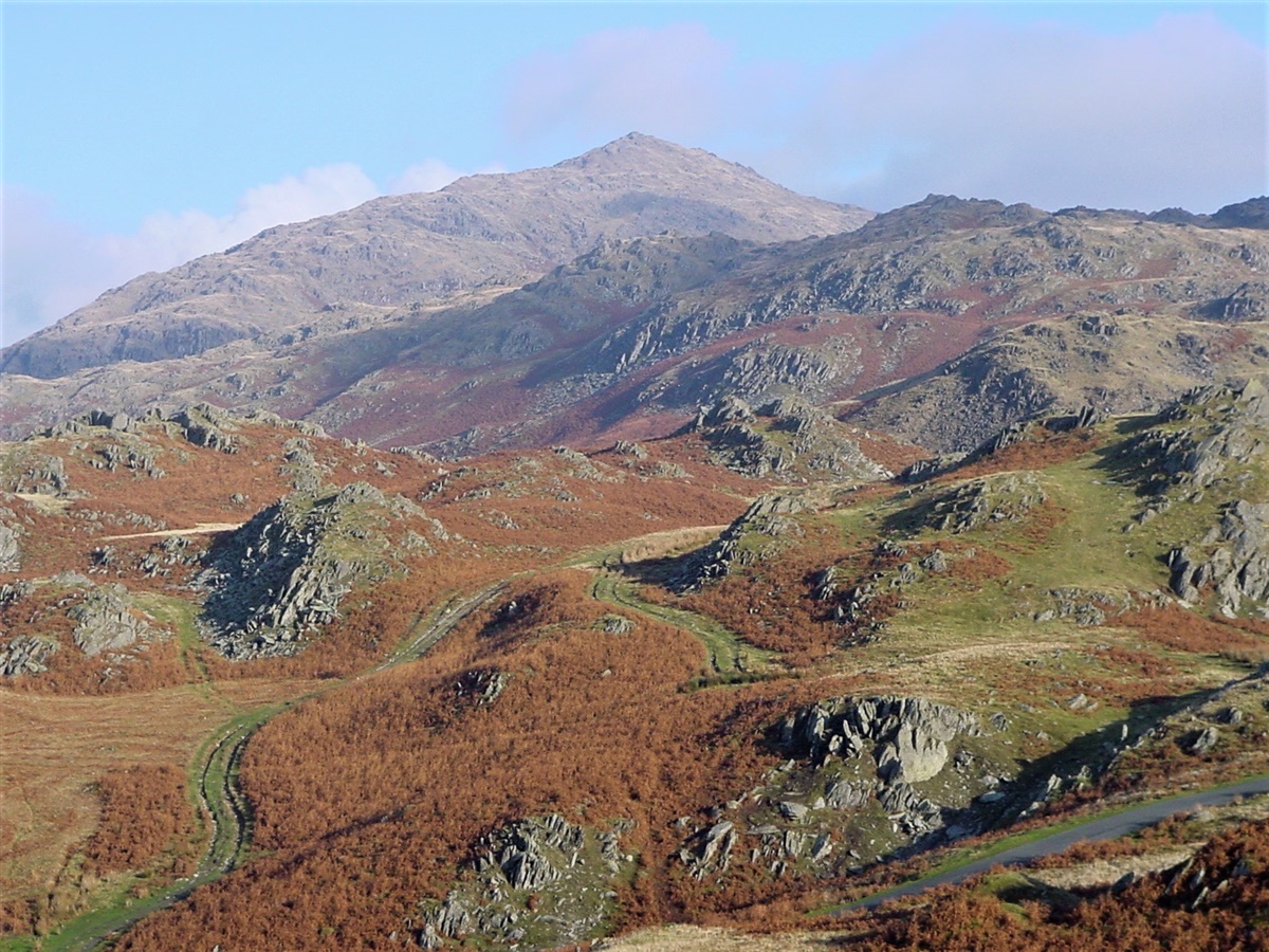
| Wonderful views from the top | |||||
|
|||||
| Wonderful views from the top | |||||
|
|||||
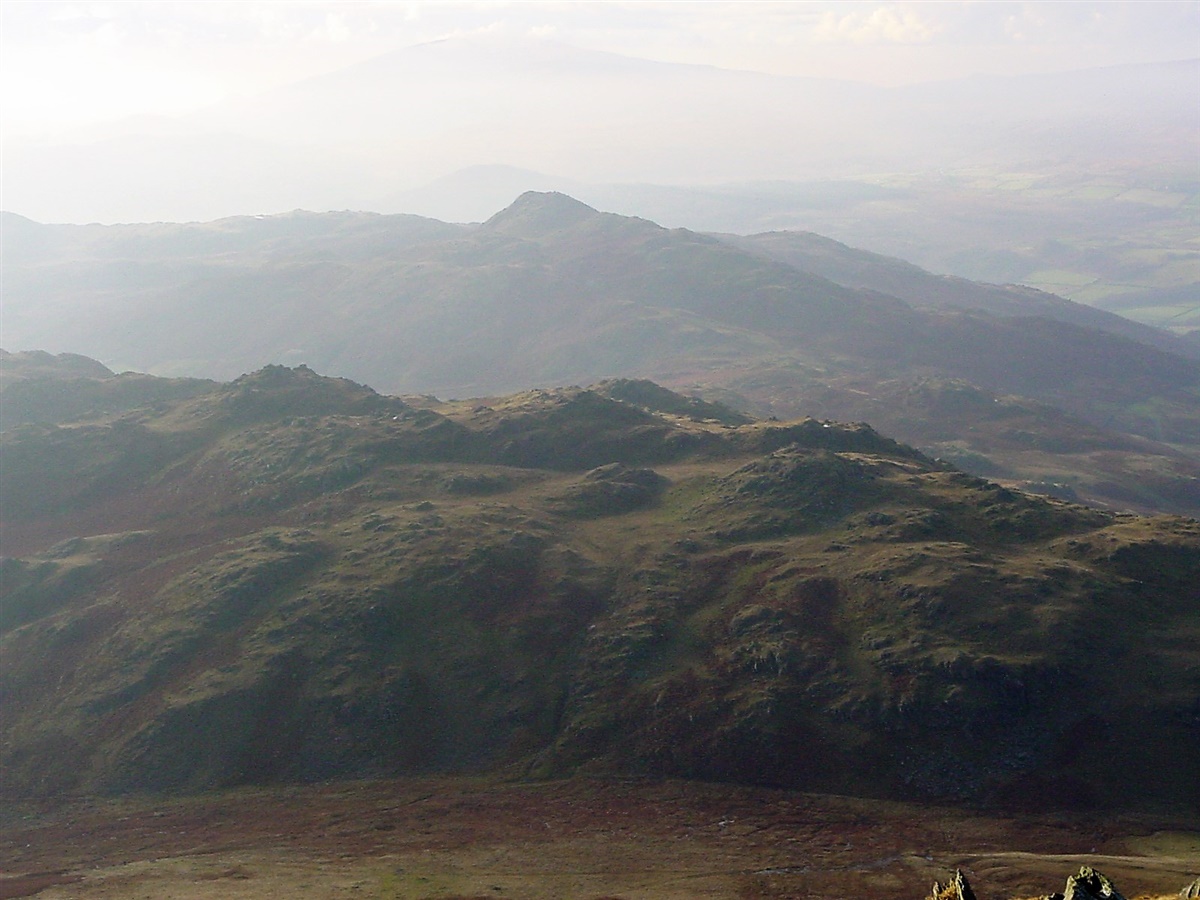
| Wonderful views from the top - this one looking to Stickle Pike | |||||
|
|||||
| Looking down to Long Mire from Caw | |||||
|
|||||
| Caw summit | |||||
|
|||||
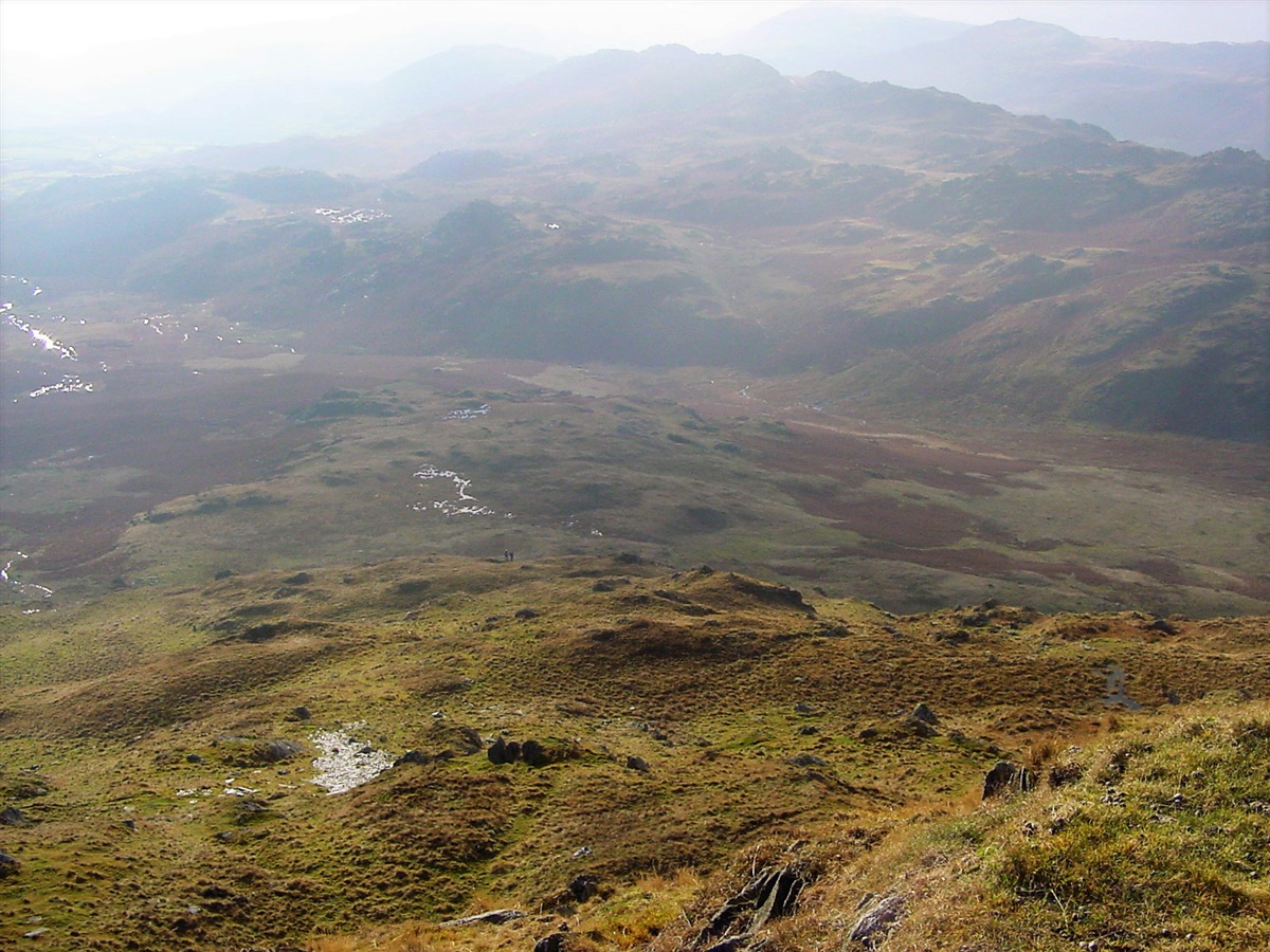
| Two hikers making their way up Caw from Long Mire | |||||
|
|||||
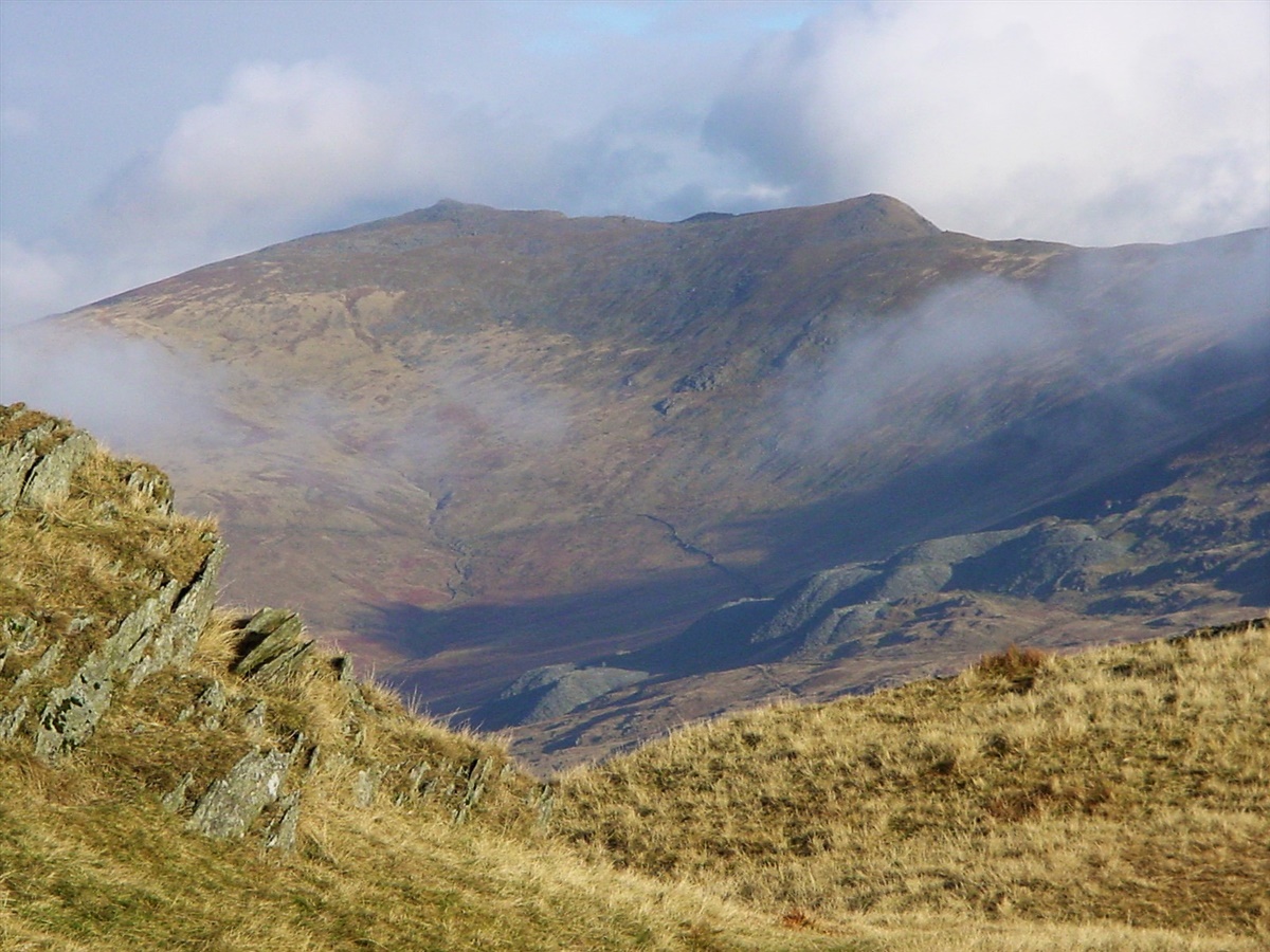
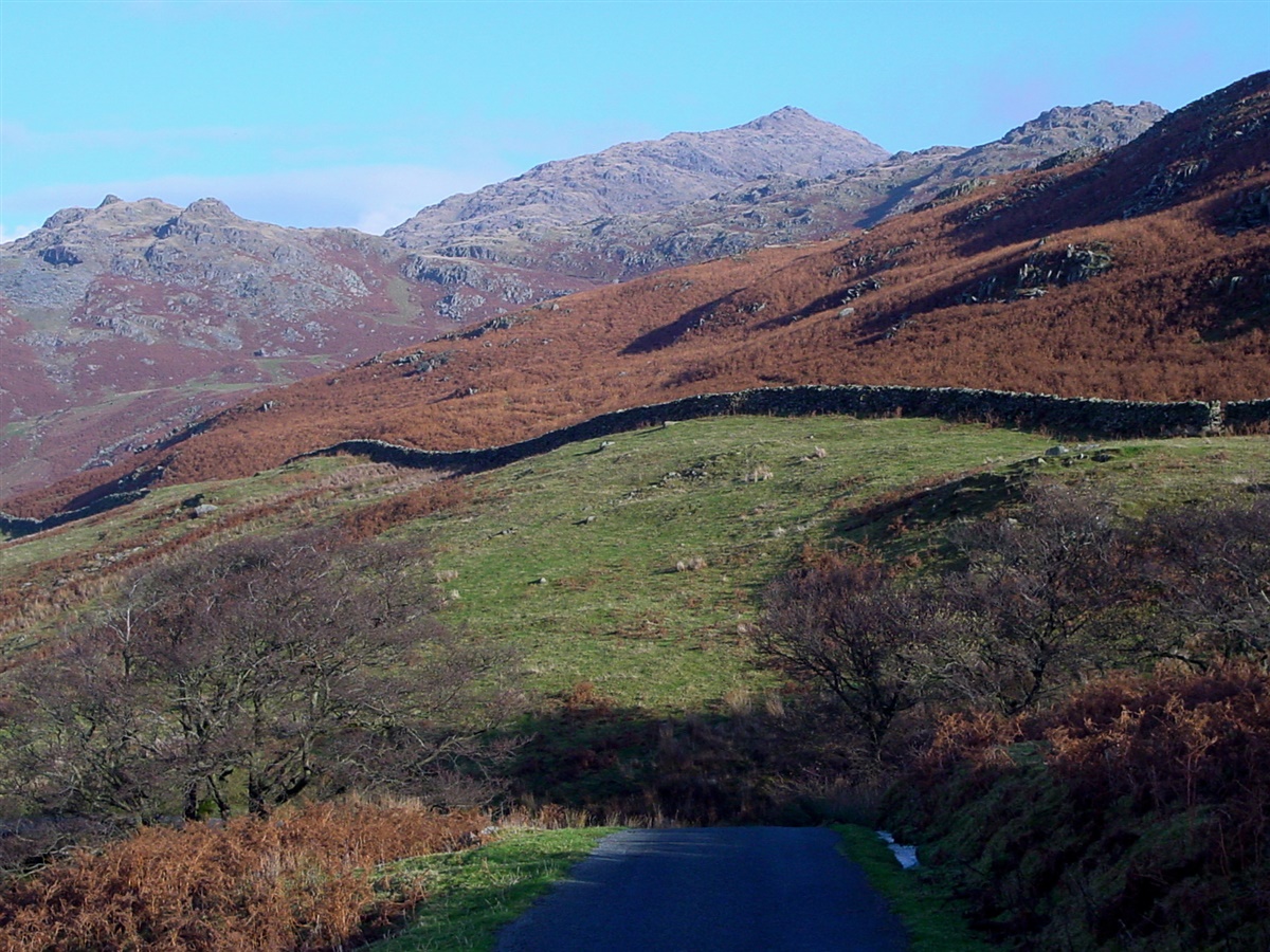
| The impressive view to White Pikle (left) and White Maiden (right) | |||||
|
|||||
| Dawson Pike covered in cloud | |||||
|
|||||
| The start of the descent to Long Mire | |||||
|
|||||
| Looking back at my descent route | |||||
|
|||||
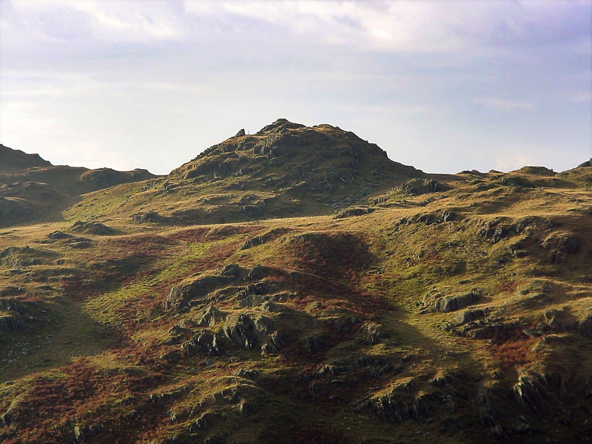
| Looking back to Caw and its southerly side from Long Mire | |||||
|
|||||
| Wallowbarrow Crag | |||||
|
|||||
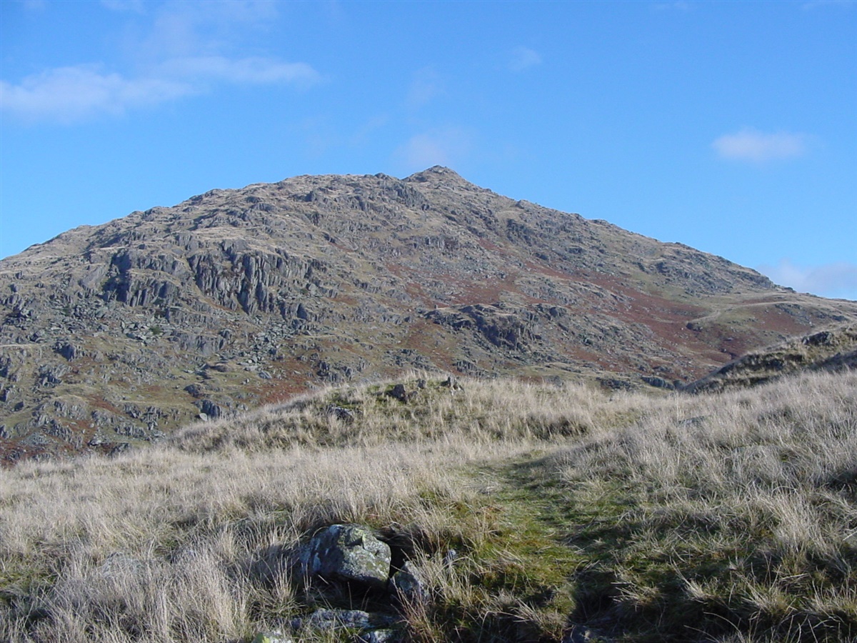
| Stickle from the Park Head Road (it's a path nowadays) | |||||
|
|||||
| Park Head Road meanders towards Caw | |||||
|
|||||
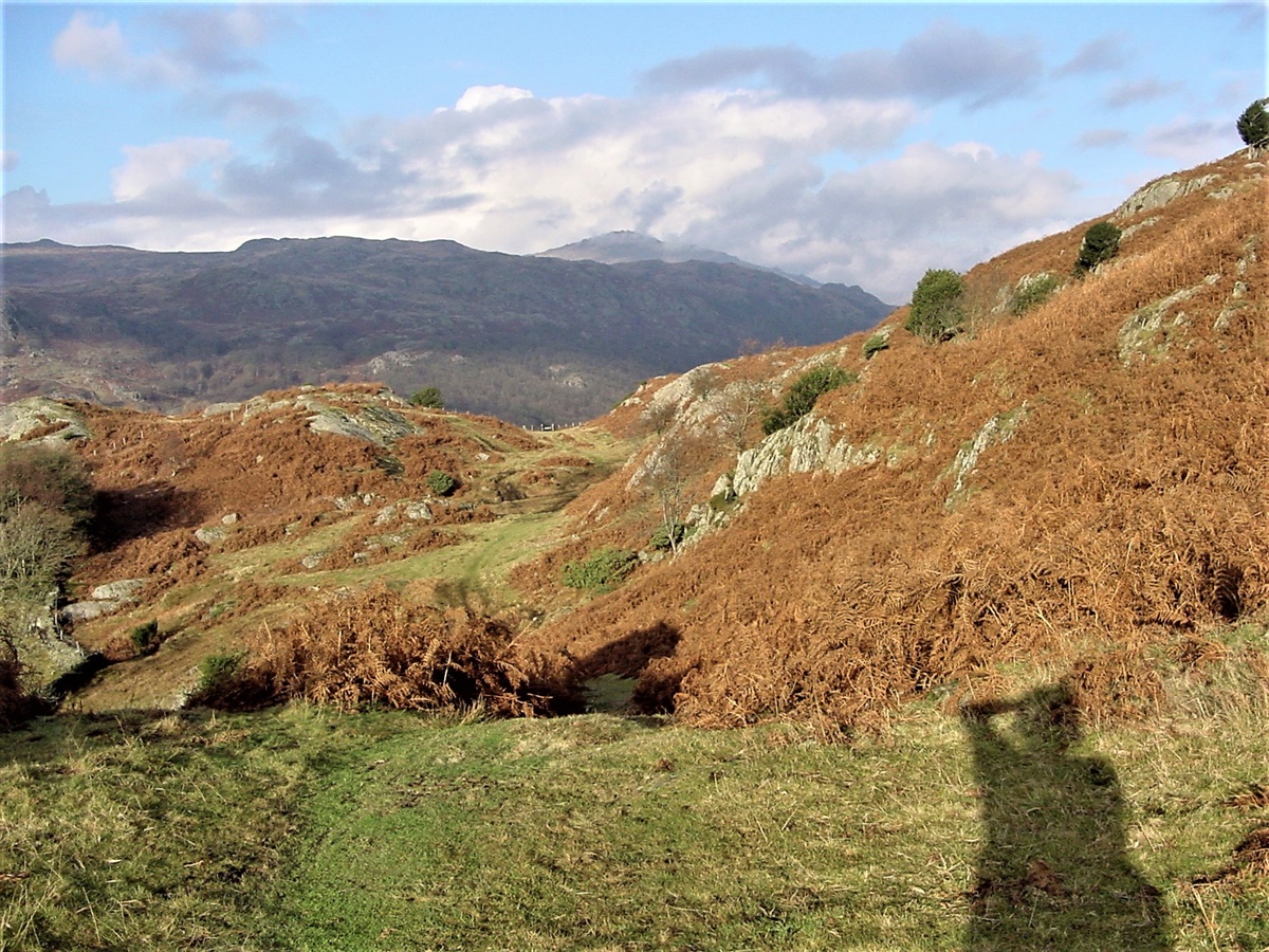
| Looking back to Caw from the Kiln Cross Road | |||||
|
|||||
| The path back to the car | |||||