Illgill Head | |||||||||||||||||
Date | 4/10/2003 |
|
|||||||||||||||
Walks done by: | Jed, Barb and Kay | ||||||||||||||||
Weather: | Cold, Windy, Sunny and showery | ||||||||||||||||
Distance | 6 miles | ||||||||||||||||
Started at: | Lay-by near NT camp site | ||||||||||||||||
Height:- | |||||||||||||||||
Great Mell Fell | 1998' | ||||||||||||||||
|
|||||||||||||||||
Arriving at Wasdale | |||||||||||||||||
|
|||||||||||||||||
Middle Fell (l), Seatallan (c) and Yewbarrow (r) | |||||||||||||||||
The path to Illgill Head | |||||||||||||||||
Wasdale Head with Kirk Fell in the centre | |||||||||||||||||
The same view as above but from further away and with height gain. Great Gable is to the right of Kirk Fell | |||||||||||||||||
Kay and Barb near the summit of Illgill Head | |||||||||||||||||
Looking across to Yewbarrow | |||||||||||||||||
Barb and Kay on Illgill Head summit | |||||||||||||||||
Kay and I. I'm lifting her hood so the camera can see her face! | |||||||||||||||||
The first sighting of Wast Water | |||||||||||||||||
Two views of Wast Water from Illgill Head | |||||||||||||||||
Kay on the path to Whin Rigg | |||||||||||||||||
The path to Whin Rigg and the top of the Screes | |||||||||||||||||
Looking over to Seascale | |||||||||||||||||
Some of the scree is just visible way below | |||||||||||||||||
Bowderdale | |||||||||||||||||
Great Gable with rain clouds above | |||||||||||||||||
Closer view of the coast and Seascale | |||||||||||||||||
Kay and I in an old shelter | |||||||||||||||||
Wasdale Head from the descent path | |||||||||||||||||
Barb descending from Illgill Head | |||||||||||||||||
Looking up Lingmell Gill to Scafell Pike | |||||||||||||||||
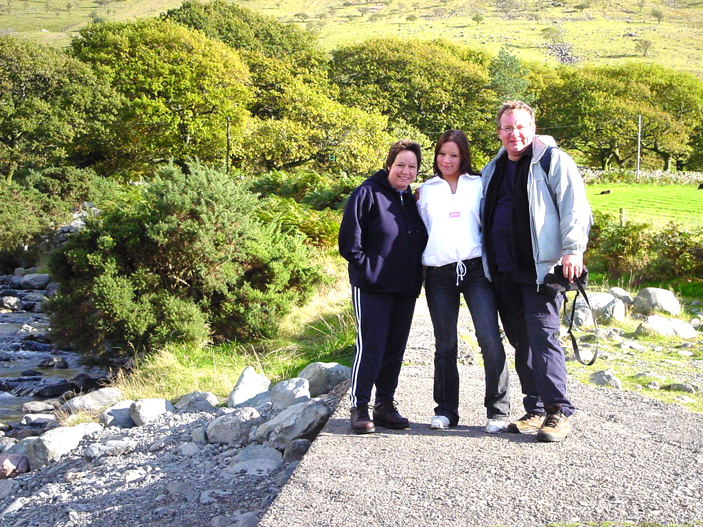
The three of us safely down | |||||||||||||||||