| Yoke, Ill Bell, Froswick & Thornthwaite Crag |
|
| |
|
YOKE - is a good viewpoint, more particularly for the wide sweep of country and sea southwards. Of the Lakeland scene, the prospectdue west is especially attractive.
ILL BELL - this is a real mountain top, small in extent, and very rough; it is one of the most distinctive summits in Lakeland
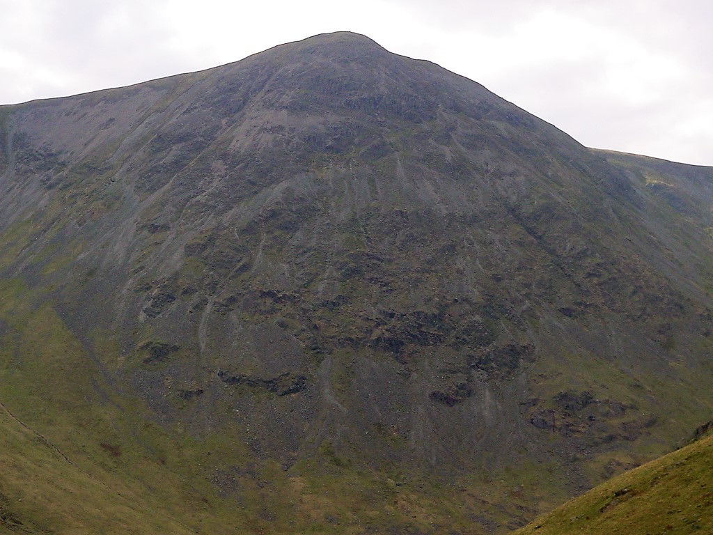
FROSWICK - it takes its pattern from Ill Bell in remarkable degree, almost humorously seeming to ape its bigger neighbour. Both flanks are very steep, the Kentmere side especially being a rough tumble of scree
THORNTHWAITE CRAG - its sometimes difficult to recall the details of familiar summits but surely all who have climbed Thornthwaite Crag will identify it in memory by its remarkable 14 feet column, one of the most distinctive cairns in Lakeland. A. Wainwright |
|
|
| In memory of Neil - a great friend - RIP |
|
|
| |
|
|
|
| Date |
4/9/2002 |
|
|
| Walks done by: |
Jed, Pam and Neil |
|
|
| Weather: |
Sunny and warm |
|
|
| Distance |
12 miles |
|
|
| Started at: |
Kentmere Village Hall |
|
|
| Height:- |
|
|
|
| Yoke |
2309' |
|
|
| Ill Bell |
2476' |
|
|
| Froswick |
2359' |
|
|
| Thornthwaite Crag |
2569' |
|
|
|
|
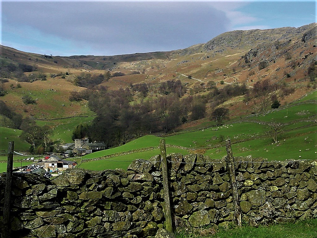
| Kentmere Hall and the hillside, path we would soon be taking up to Garburn Pass |
| |
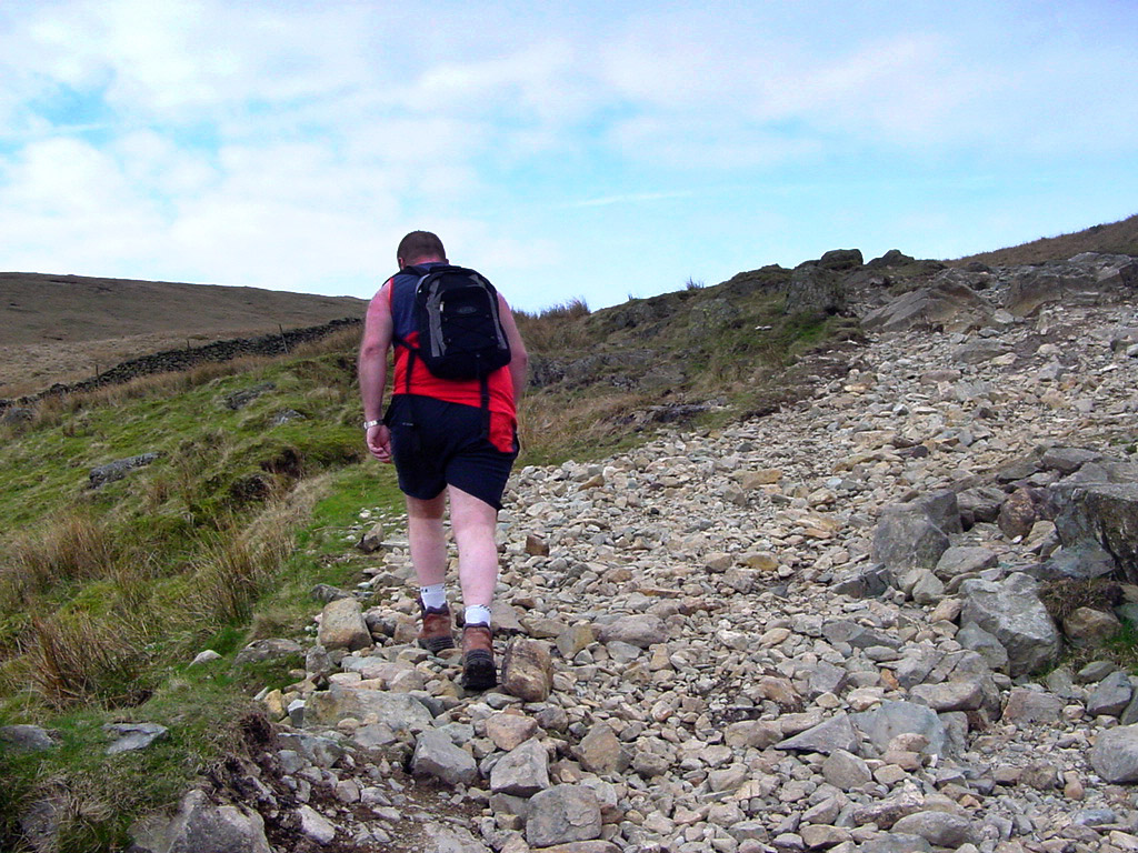 |
Neil leads the way on the Garburn road, old packhorse route. |
|
| |
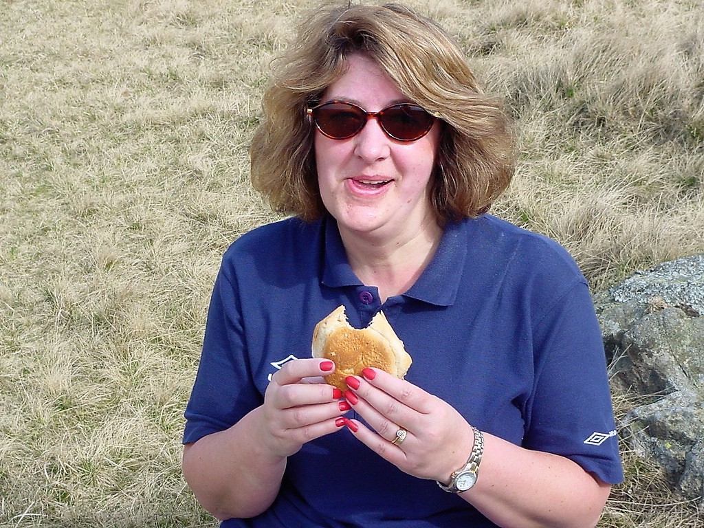 |
| Pam likes frequent stops and this was just off the Garburn Pass |
| |
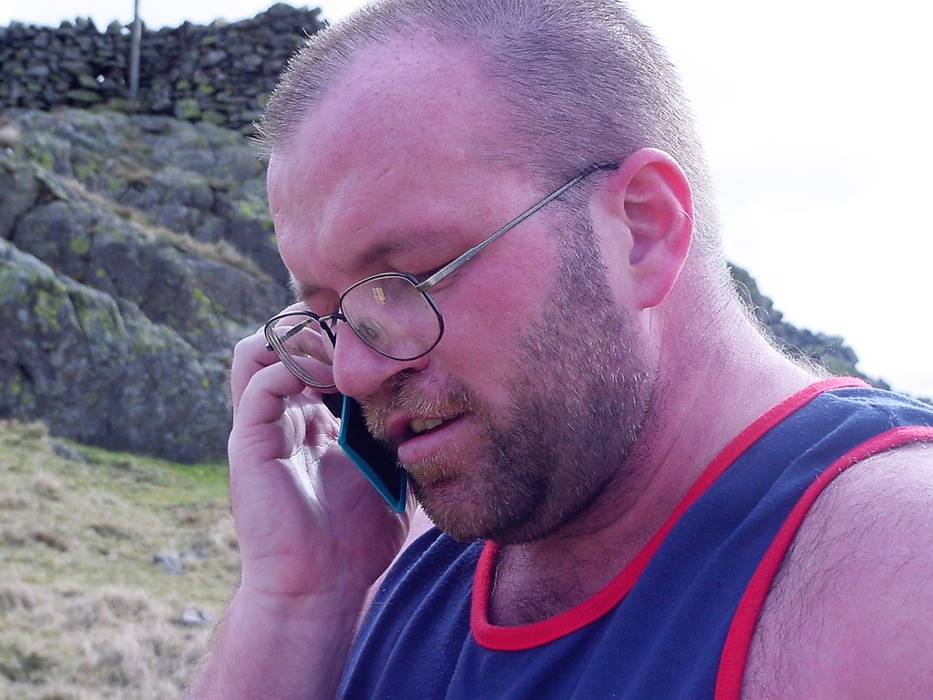 |
| Neil takes the opportunity to make that important call |
| |
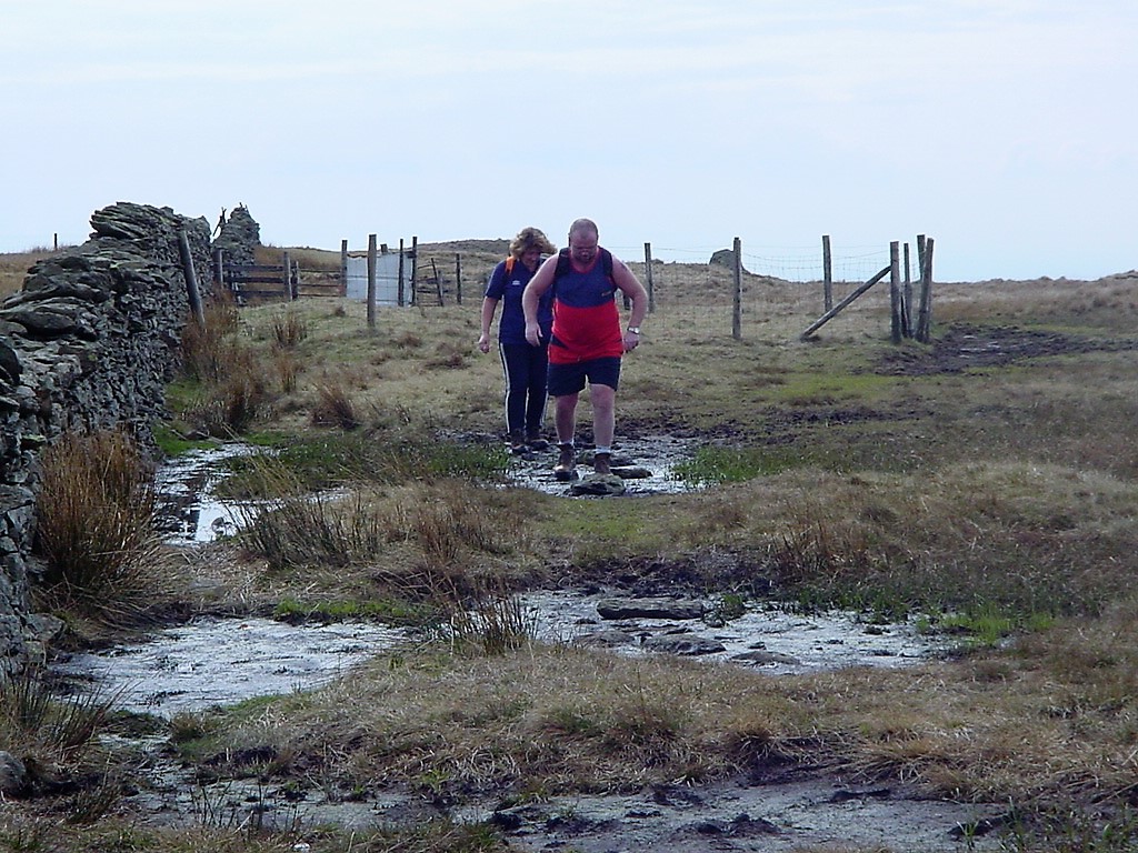 |
| The start of the ascent on Yoke |
| |
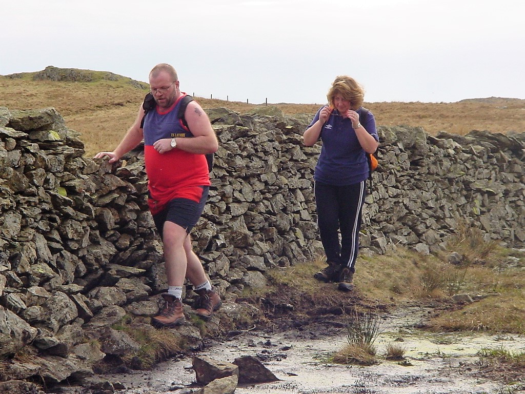 |
| Avoiding the bog, which Wainwright mentions in his chapter about Yoke |
| |
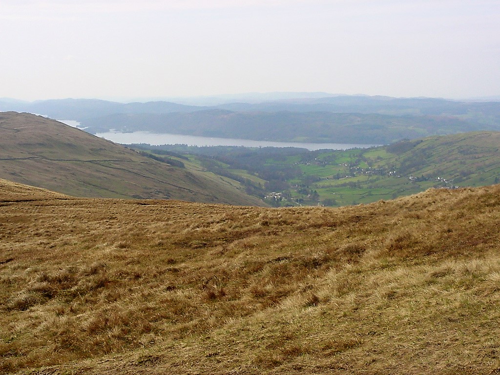 |
| The first glimpse of Lake Windermere |
| |
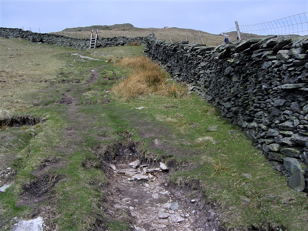 |
| The long ascent of Yoke |
| |
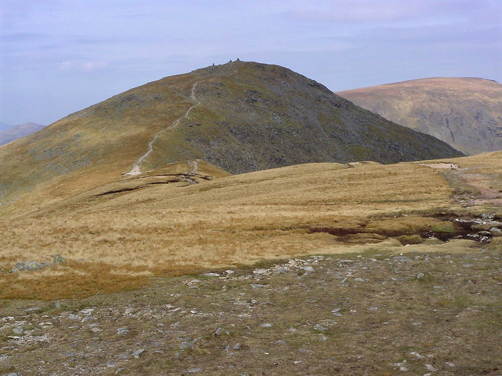 |
| Looking North to Ill Bell |
| |
 |
| Sadly not a great photo, but here we are, happy on Yoke summit |
| |
 |
| Pam and Jed - again on Yoke. The camera cut Neil out |
| |
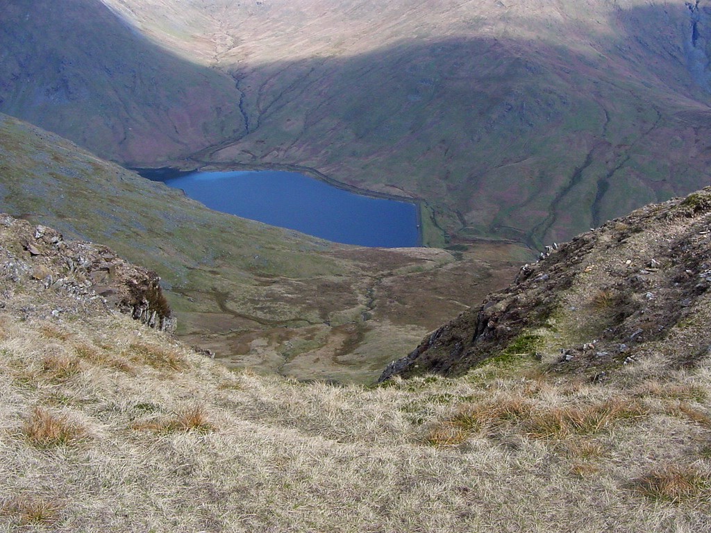 |
| Kentmere Reservoir from in between Yoke and Ill Bell |
| |
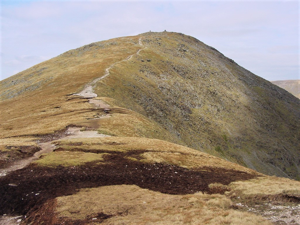 |
| Looking up the ascent path to Ill Bell summit |
| |
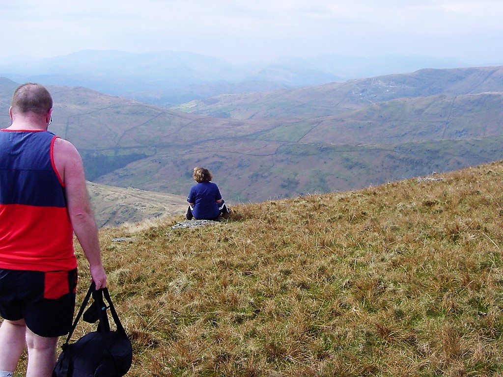 |
| Pam in contemplation on the slopes of Ill Bell. Pam later told me this is one of her favourite photos |
| |
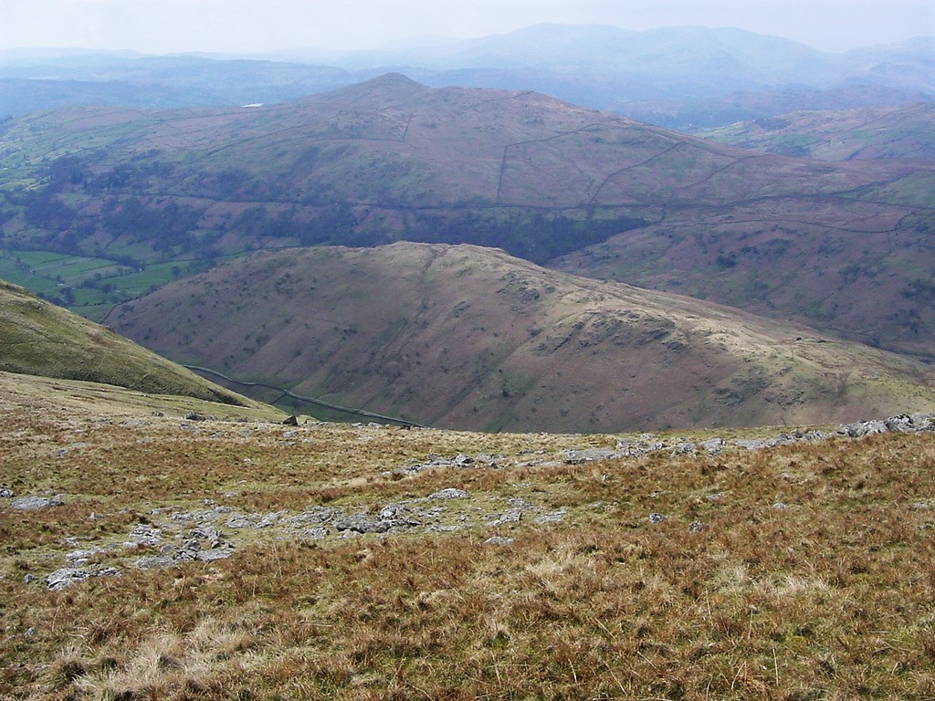 |
| Looking down to the small ridge of Troutbeck Tongue |
| |
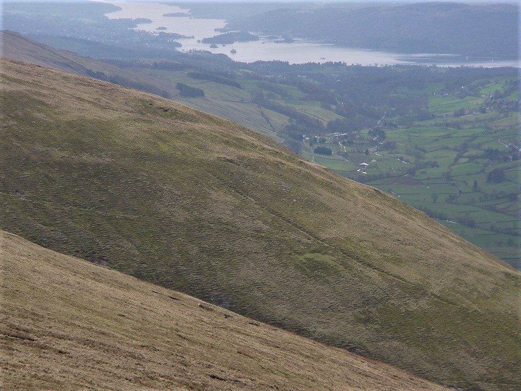 |
| Lake Windermere from near Ill Bell summit |
| |
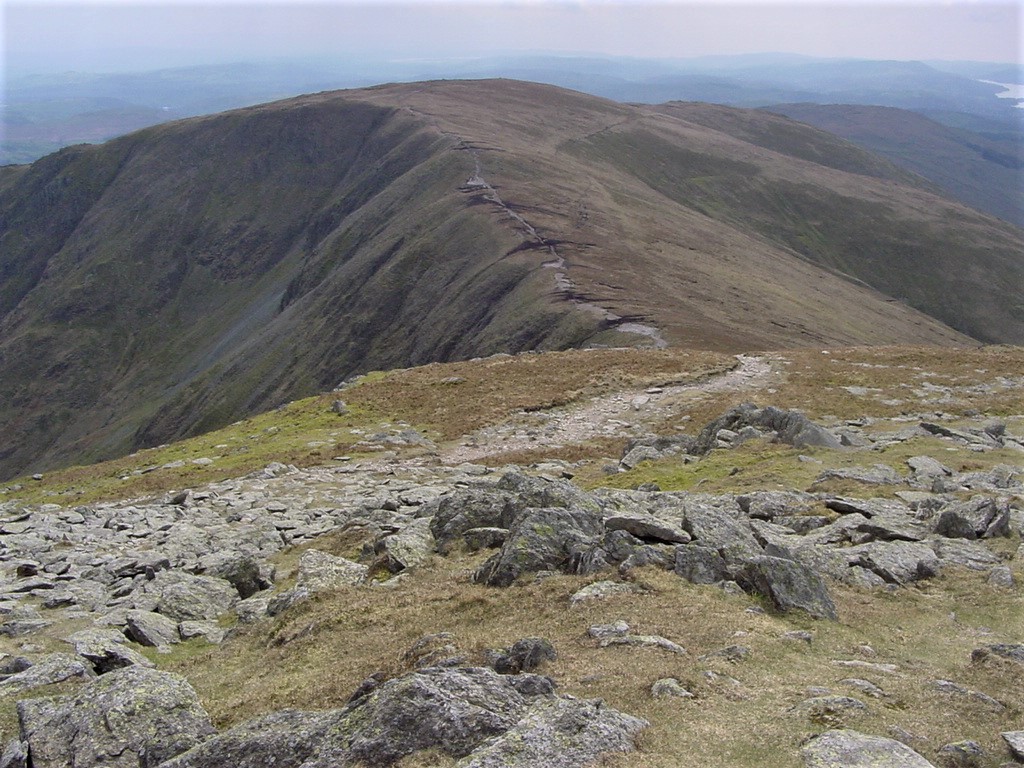 |
| Looking back to Yoke |
| |
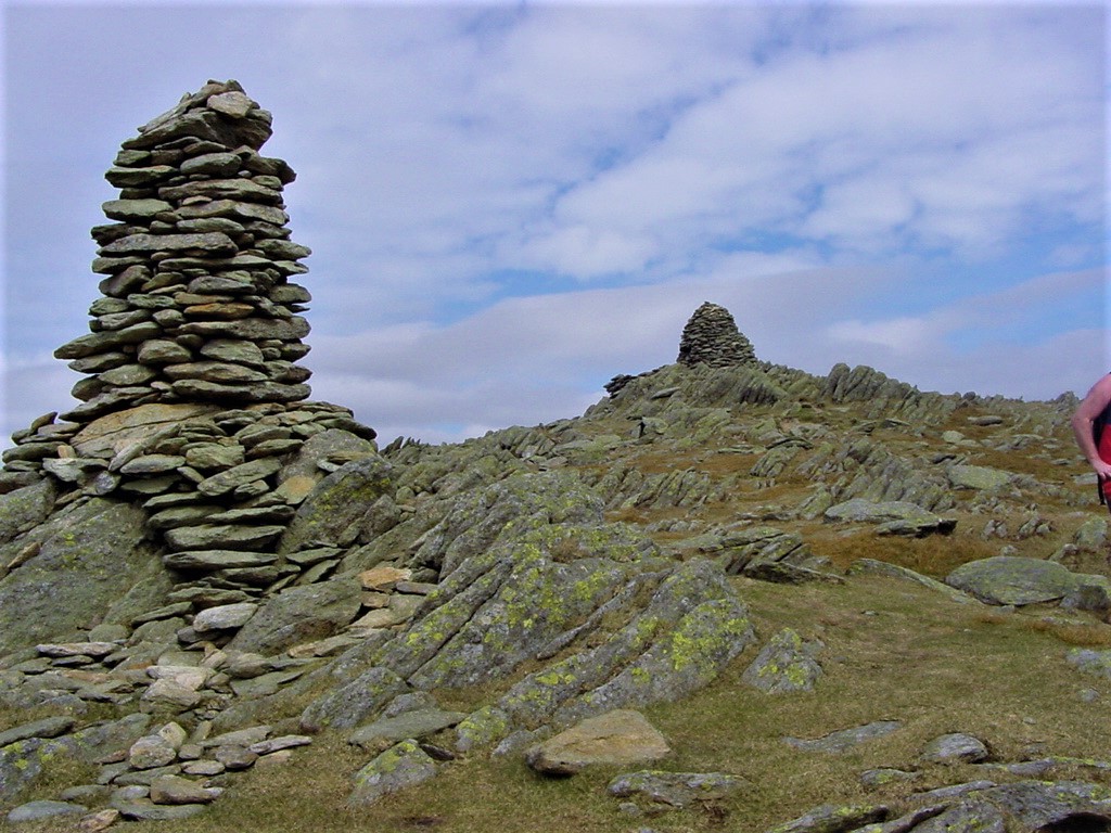 |
| Ill Bell summit |
| |
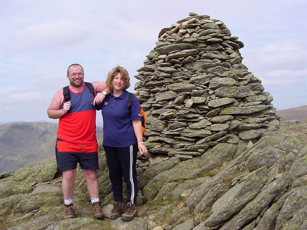 |
| Neil and Pam on Ill Bell summit |
| |
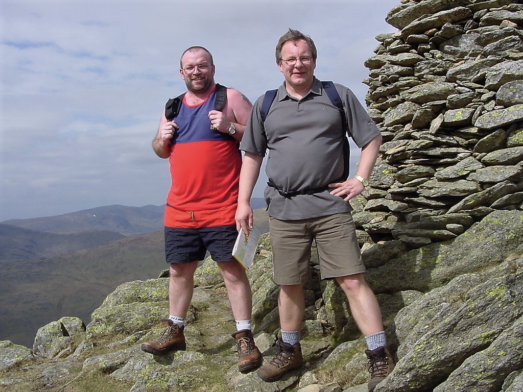 |
| Neil & Jed on Ill Bell summit |
| |
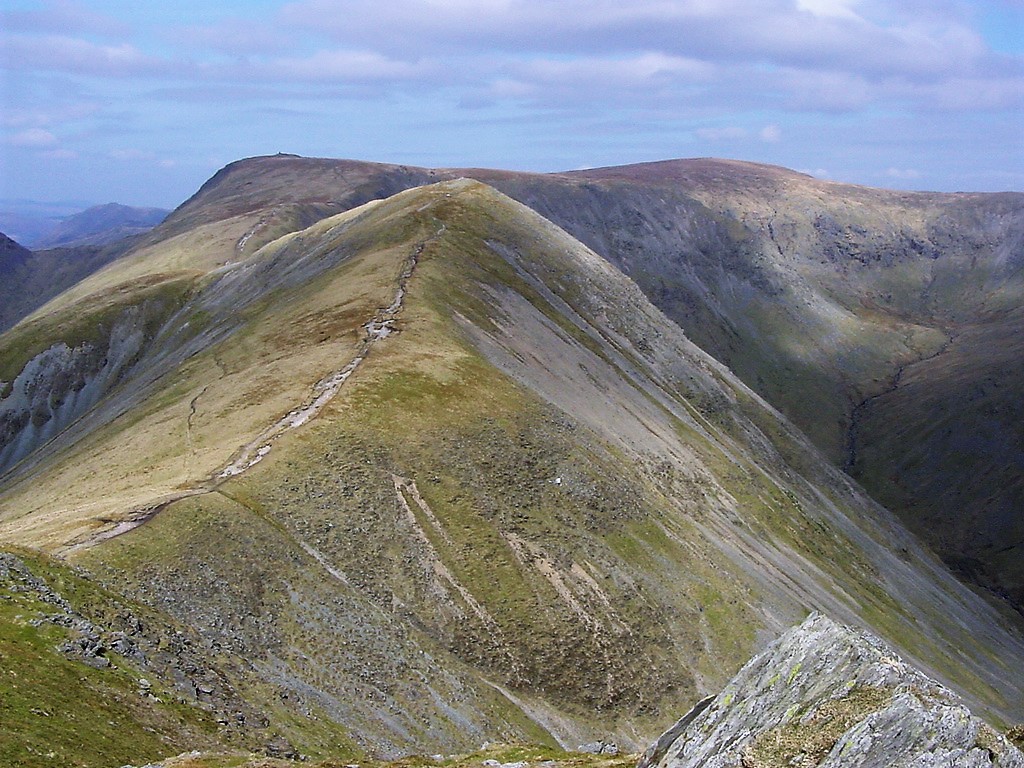 |
| Froswick with Thornthwaite Crag in the distance and to the left of Froswick (from Ill Bell) |
| |
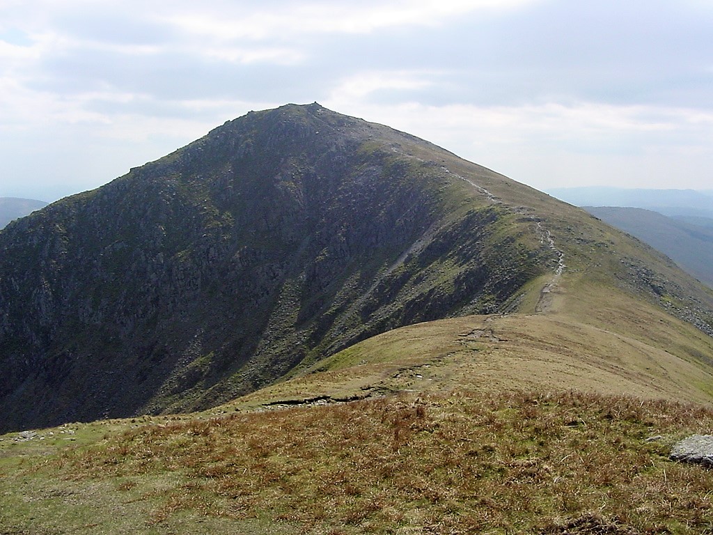 |
| Looking back to Ill Bell from Froswick |
| |
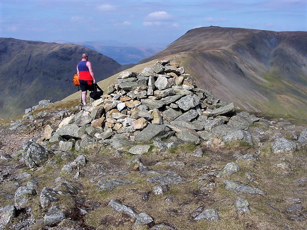 |
| Neil on Froswick summit with the ridge to Thornythwaite Crag clear to see |
| |
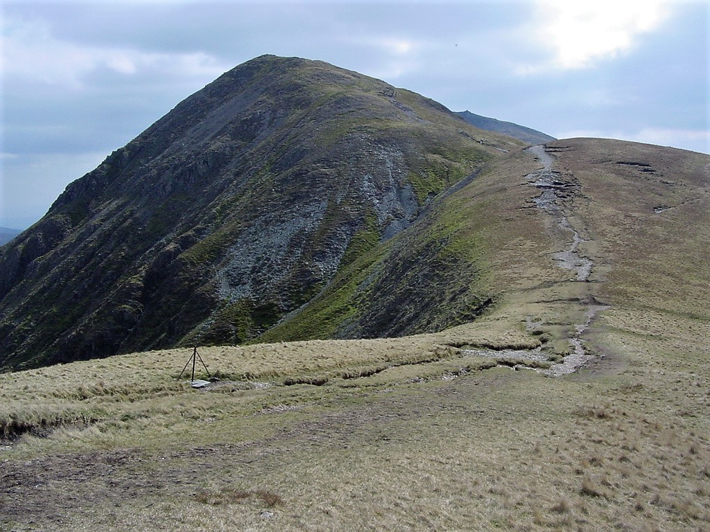 |
| Looking back to Froswick, with Ill Bell just visible in the distance |
| |
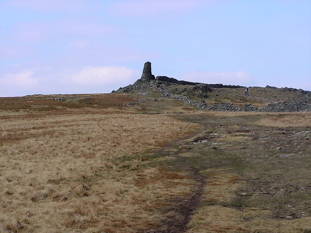 |
| Approaching Thornthwaite Crag |
| |
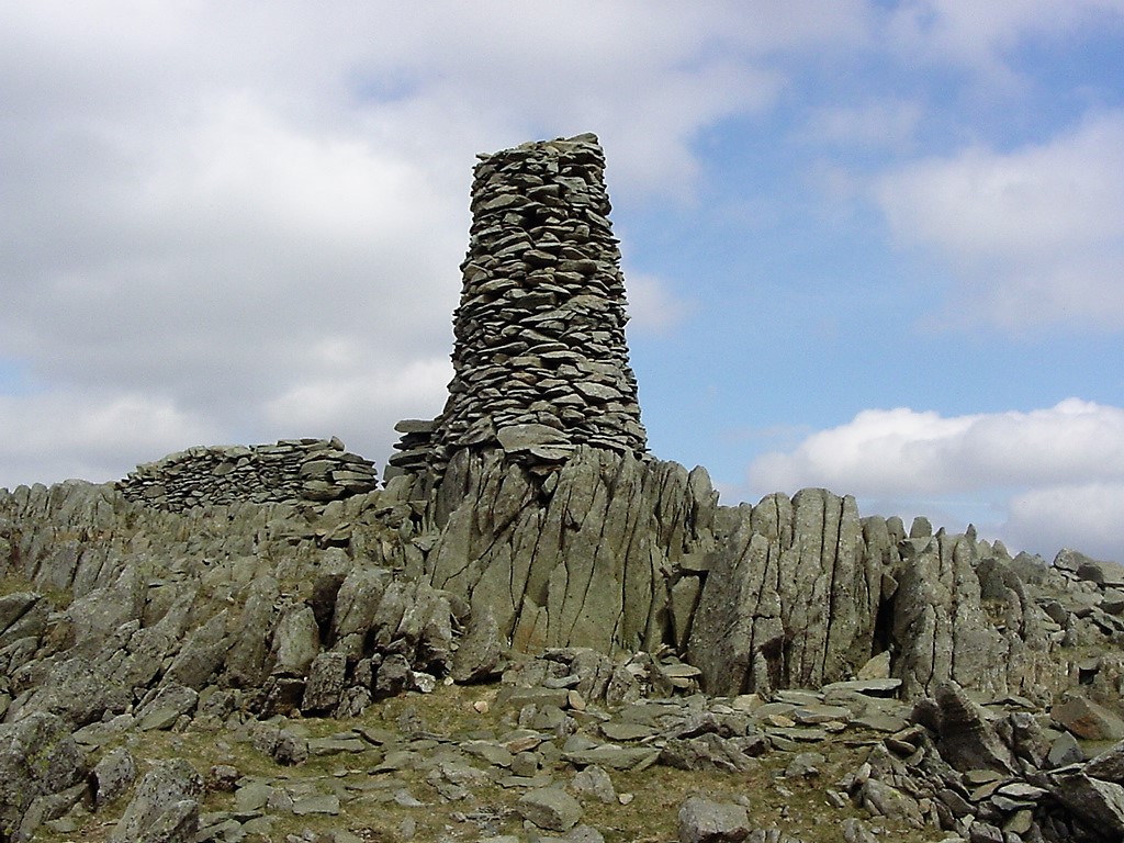 |
| The impressive 14' summit cairn |
| |
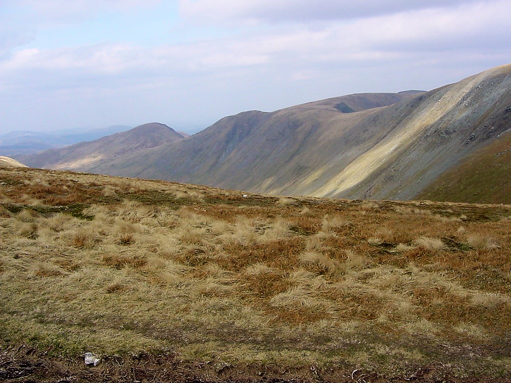 |
| Looking across to the High Street ridge |
| |
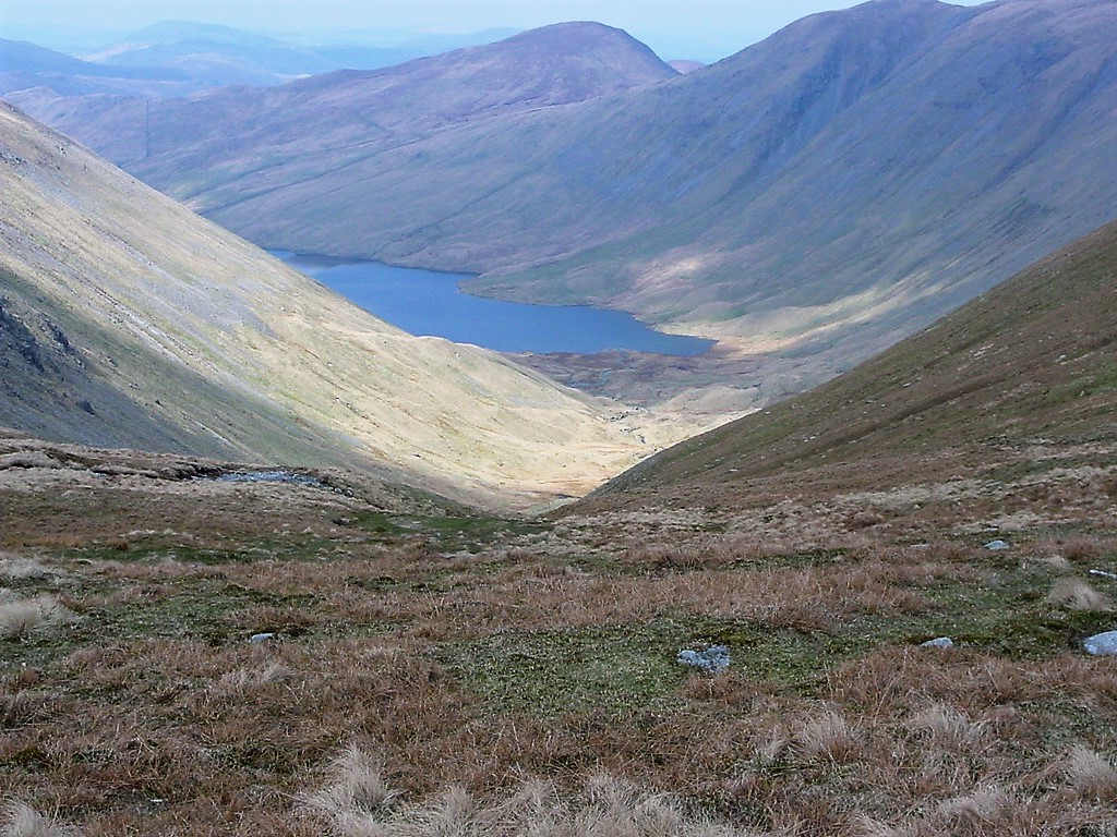 |
| Hayeswater with The Knott above it |
| |
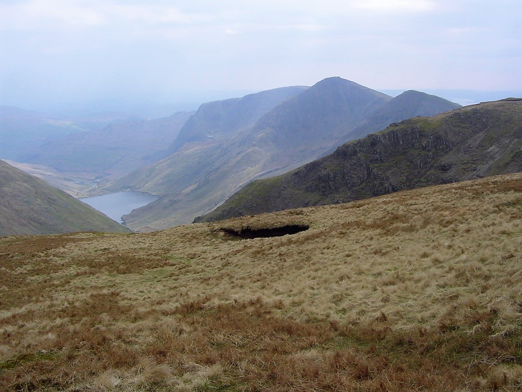 |
| Looking south from near Nan Bield Pass to Froswick, Ill Bell and Yoke. Kentmere Reservoir is at the foot of Ill Bell |
| |
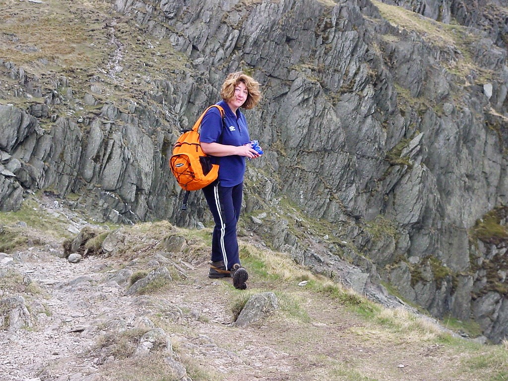 |
| Pam waits patiently at Nan Bield Pass for Neil and Jed to return from a wee break |
| |
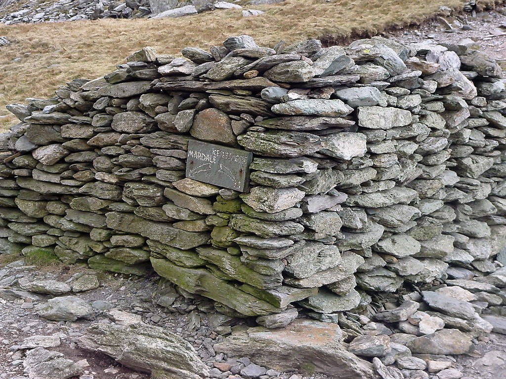 |
| The shelter on Nan Bield with sign post in built. However, Mardale is no more, it's now below Haweswater Reservoir |
| |
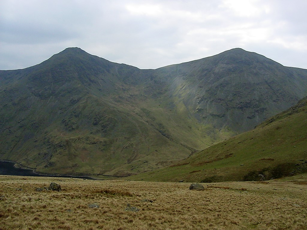 |
| Ill Bell (left) and Froswick from the path down Nan Bield |
| |
 |
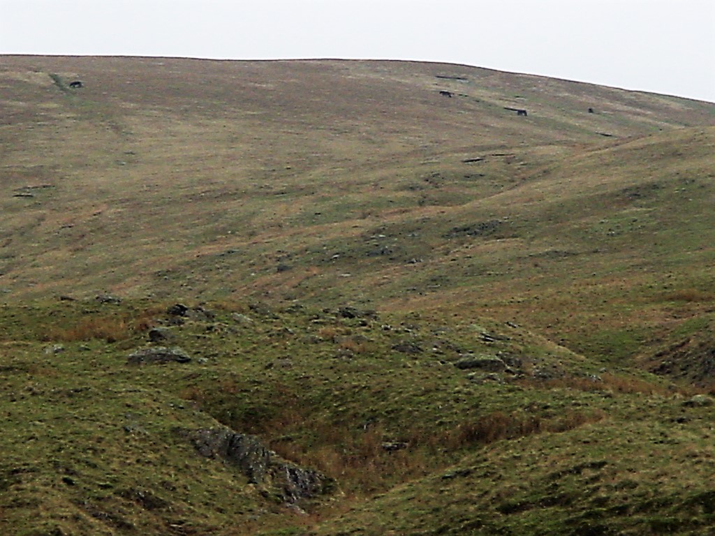
| Froswick from the same path |
| |
 |
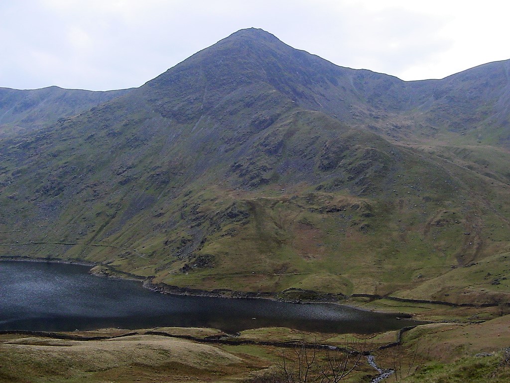
| Wild fell ponies up on the hillside |
| |
 |
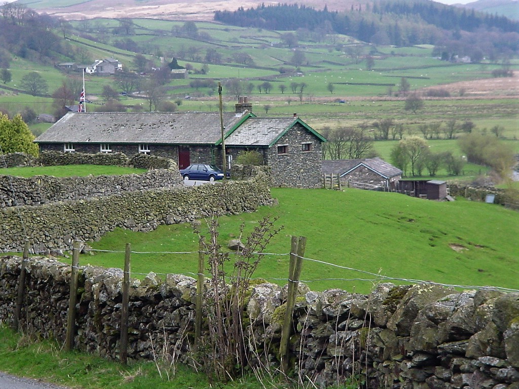
| Ill Bell from the path to Kentmere |
| |
 |
| After a long walk the car at Kentmere Village Hall makes a lovely site |
| |
|
|