Robinson and Hindscarth | |||||||
Date | 25/5/2003 |
|
|||||
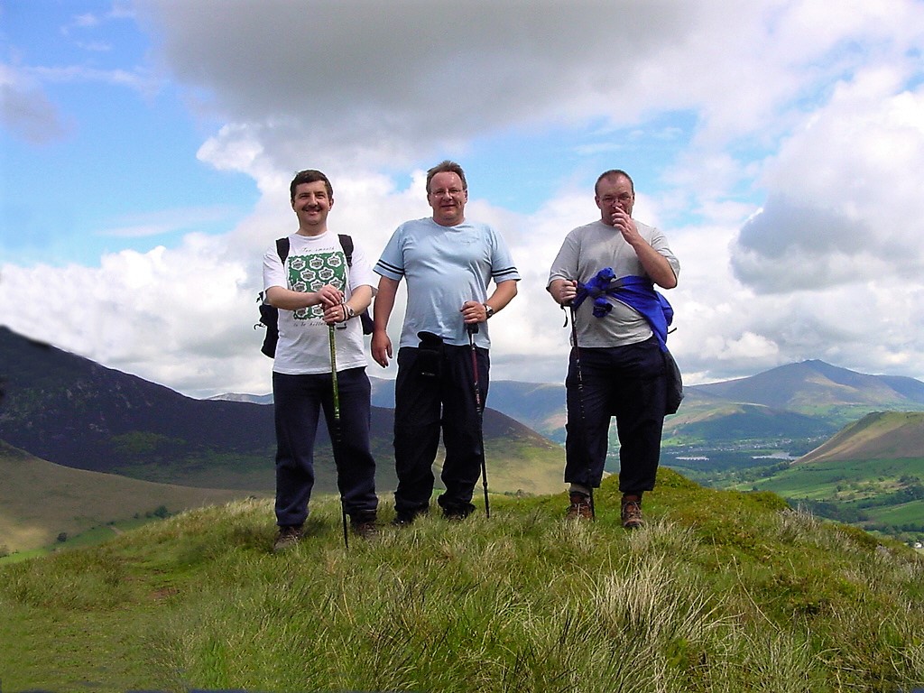
Walks done by: | Jed, Neil and Tony | ||||||
Weather: | Sunny at times. Windy on the summits - otherwise warm | ||||||
Distance | 7 miles | ||||||
Started at: | Near Littletown Chapel (Newlands Church) | ||||||
Height:- | |||||||
Robinson | 2417' | ||||||
Hindscarth | 2385' | ||||||
Little Town Chapel (Newlands Church) | |||||||
|
|||||||
Blencathra in the distance and Catbells to the right | |||||||
Neil, with the climb to Robinson ahead of him | |||||||
Looking down to Scope Beck | |||||||
Littledale Crags and the old disused reservoir below | |||||||
No comment :-) | |||||||
Looking back down the ridge from Blea Crags | |||||||
The view to the north from above Blea Crags. Derwentwater is just visible | |||||||
Zooming in from the same place as above - the lovely Derwentwater and everyone's favourite - Catbells | |||||||
One almost sheer drop from near the summit of Robinson | |||||||
Crummock Water with Loweswater beyond - from very near the summit of Robinson | |||||||
Robinson summit cairn | |||||||
Neil sheltering on Robinson as we have a bite to eat | |||||||
Honister Pass | |||||||
Fleetwith Pike | |||||||
Neil (as very often the case - on his mobile). Blencathra in the distance | |||||||
Dale Head from Hindscarth summit | |||||||
Grisedale Pike and Keskadale Farm down in the valley. | |||||||
Catbells and Keswick from the descent from Hindscarth | |||||||
The view down to Scope End | |||||||
The long descent | |||||||
Tony and Neil on the descent | |||||||
Maiden Moor | |||||||
Looking back at our descent route from Hindscarth | |||||||
Knott End with Catbells beyond and Blencathra in the distance | |||||||
The steep sided Maiden Moor | |||||||
The Newlands Valley with Littletown chapel in centre of the picture | |||||||
Causey Pike from Scope End | |||||||
The ridge to Hindscarth (l) and Robinson (r) | |||||||