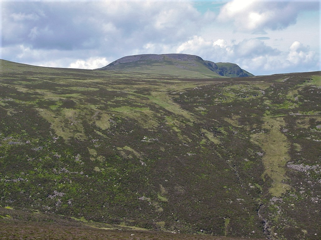
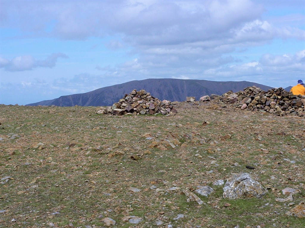
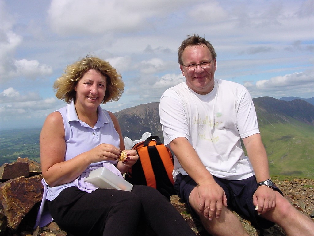
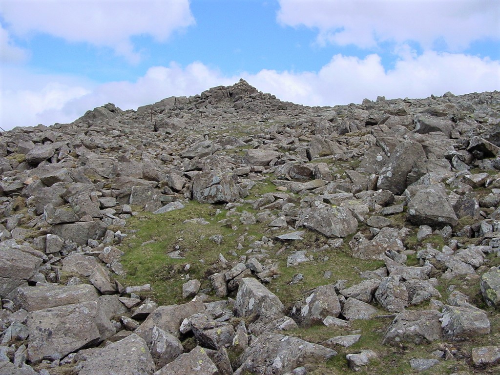
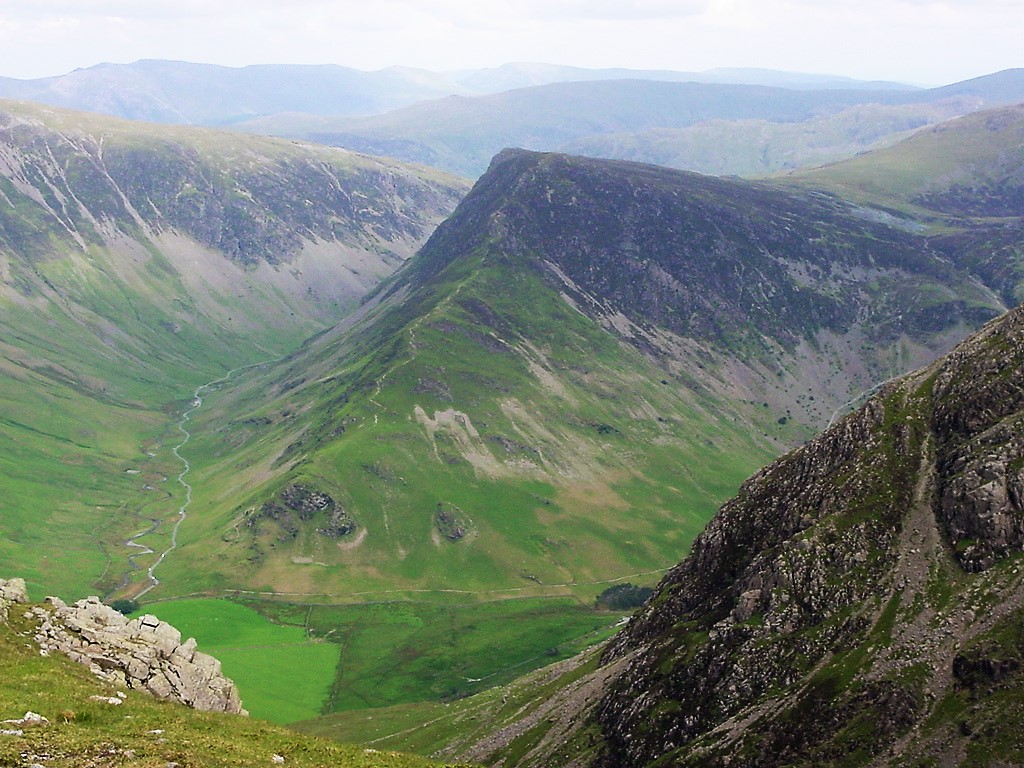
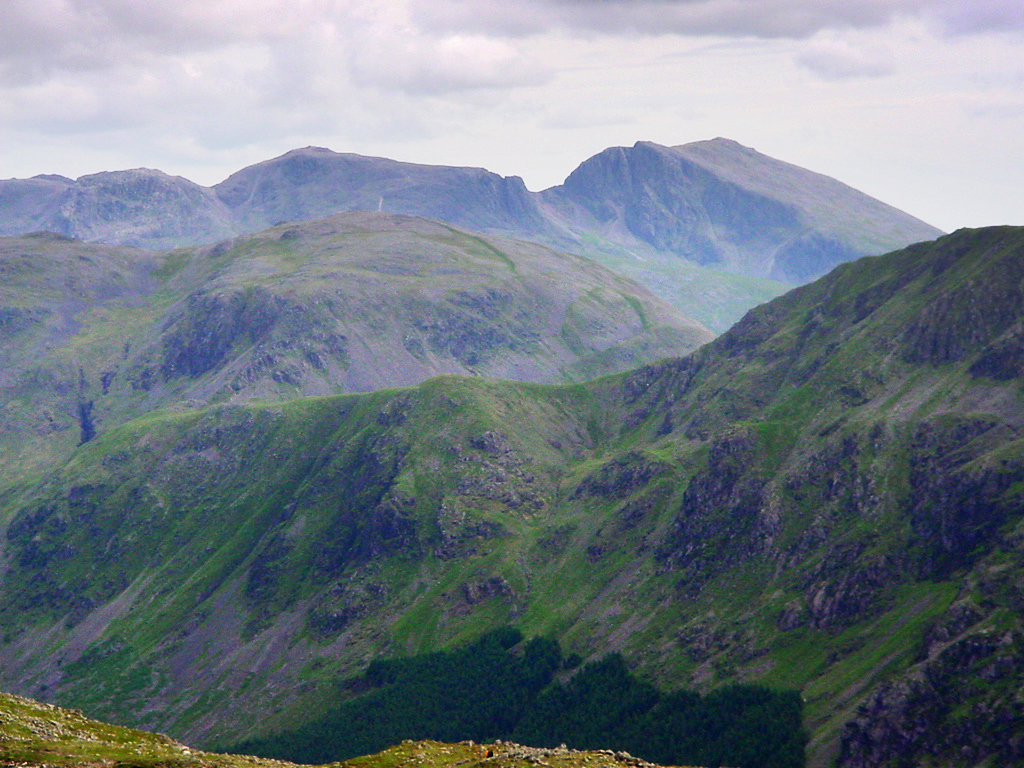
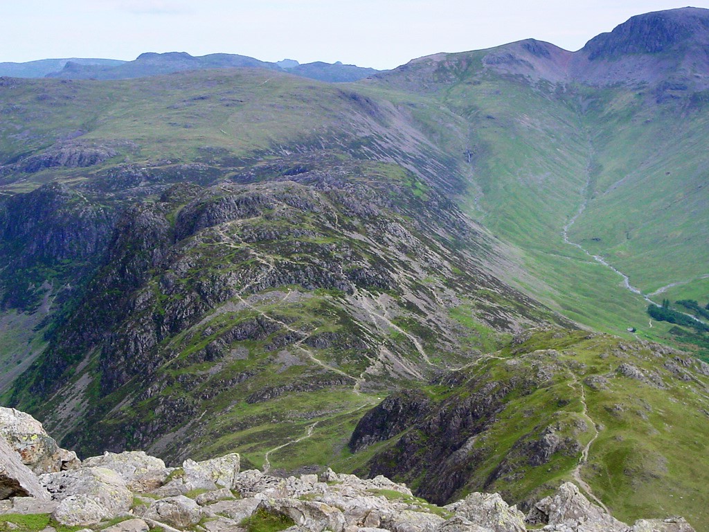
RED PIKE - HIGH STILE - HIGH CRAG - a trinity of challenging peaks, and of these the central one is the loftiest and grandest. This is High Stile A. Wainwright |
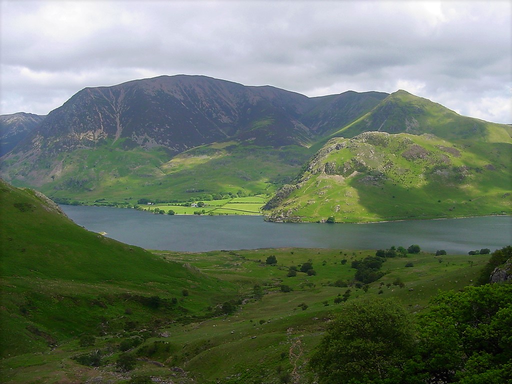
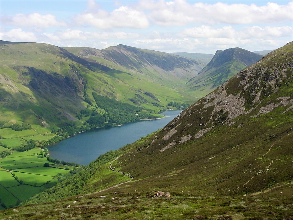
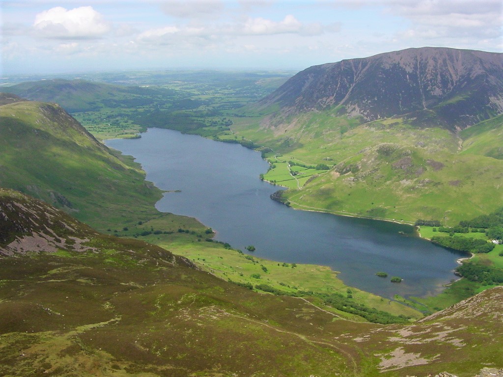
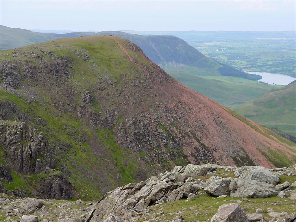
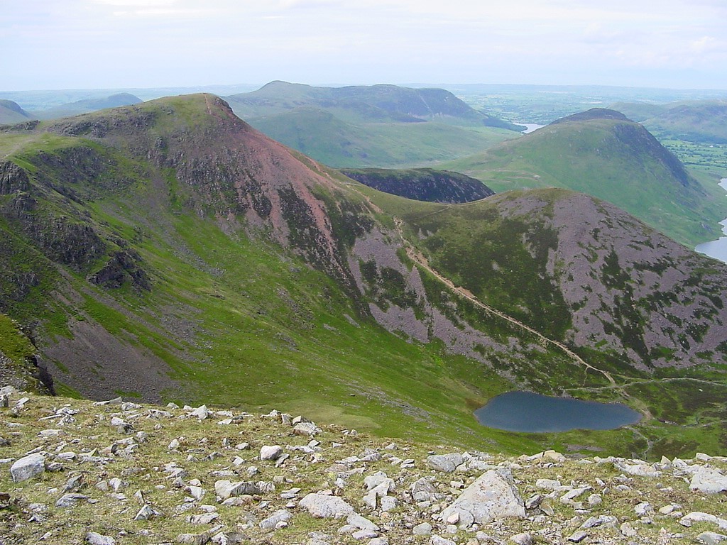
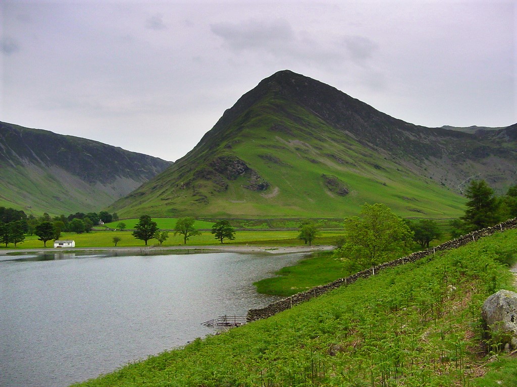
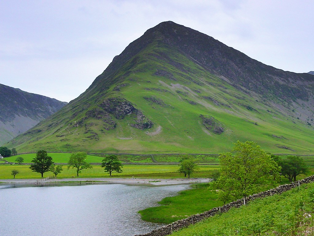
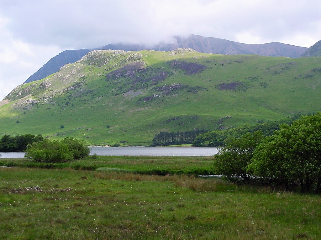 Crummock Water and beyond it, Rannerdale Knotts. Grasmoor in cloud covered
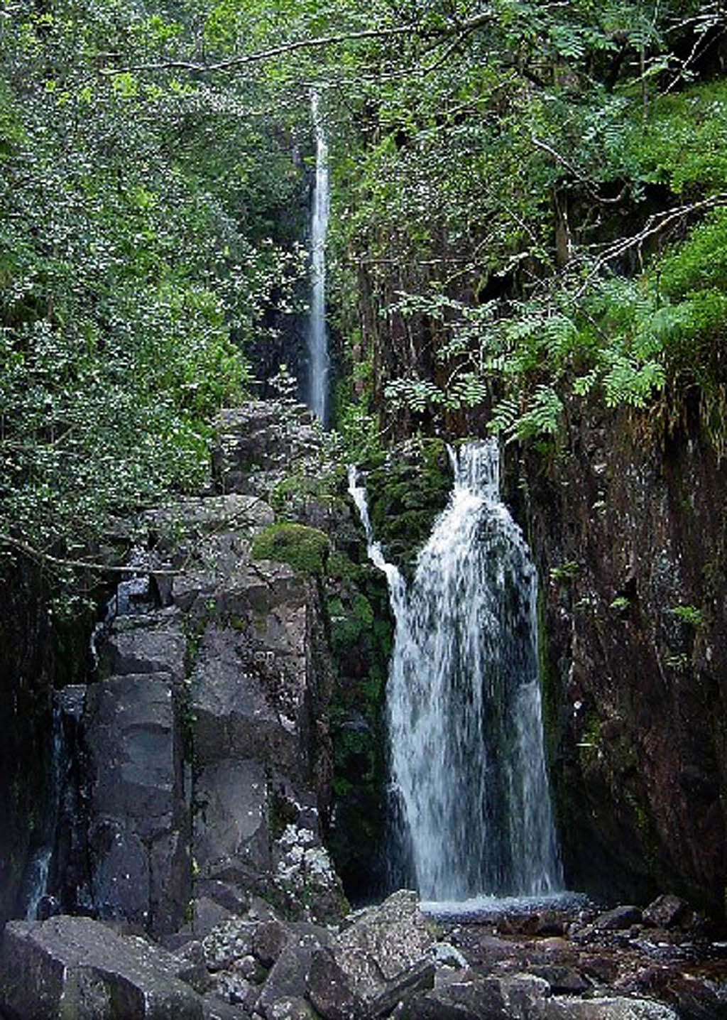
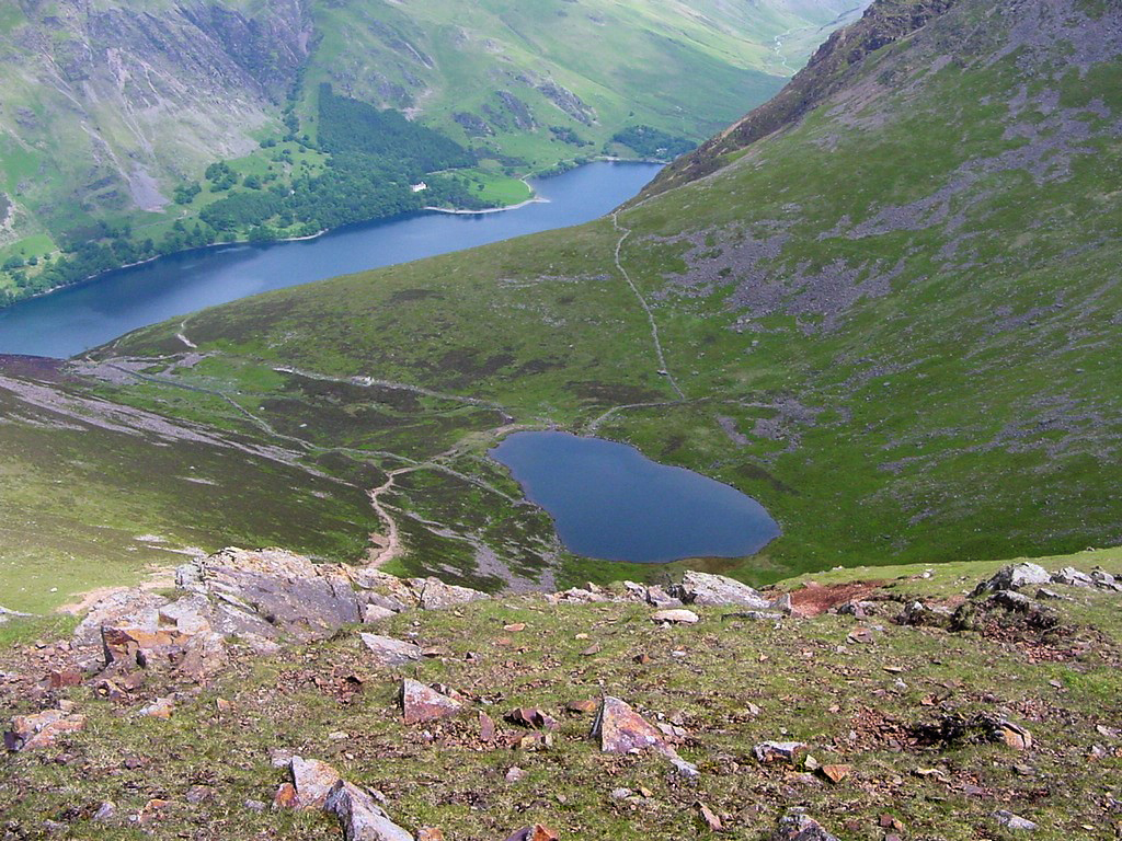
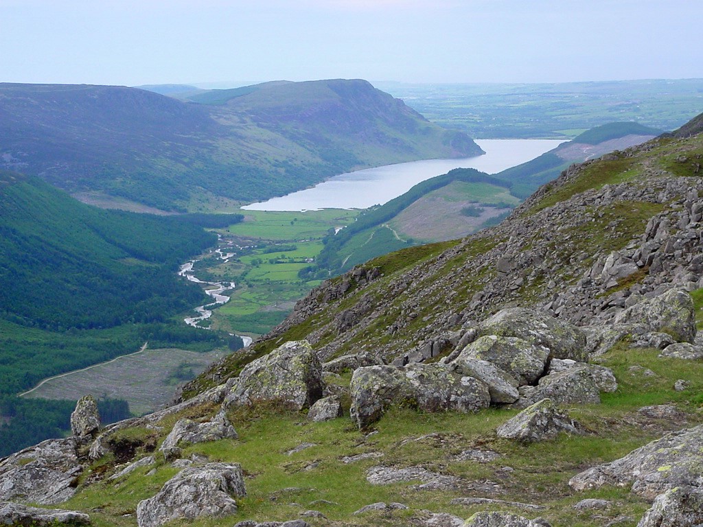
Scale Force, Lakeland's highest waterfall has a single drop of 170ft. Unfortunately much of the force (waterfall) is hidden in a tree covered gorge |