| High Street, Rampsgill Head, High Raise & Kidsty Pike |
| |
|
|
|
|
|
| |
|
|
HIGH STREET - most of the high places in Lakeland have no mention in history books; not so High Street, which has been known and trodden, down through the ages, by a miscellany of travellers on an odd variety of missions: by marching soldiers, marauding brigands, carousing shepherds, officials of governments, and now by modern hikers. Its summit has been in turn a highway and a sports arena and a racecourse, as well as, as it is today, a grazing ground for sheep. RAMPSGILL HEAD - on the right sort of day the top is a pleasant place to linger for a while
HIGH RAISE - its top is crowned with stone in a quantity uncommon amongst the heights of the High Street range, which are usually grassy
KIDSTY PIKE - the summit is the best feature of the fell, the Riggindale face is everywhere steep
A. Wainwright |
|
|
| Date |
30/5/2004 |
|
|
| Walks done by: |
Jed, Susan Pam and Paul |
|
|
| Weather: |
Glorious after a cloudy start. Very warm |
|
|
| Distance |
8.75 miles |
|
|
| Started at: |
Mardale Head car park |
|
|
| Height:- |
|
|
|
| High Street |
2718' |
|
|
| Rampsgill Head |
2581' |
|
|
| High Raise |
2634'' |
|
|
| Kidsty Pike |
2560' |
|
|
|
|
|
|
|
|
|
|
|
|
| |
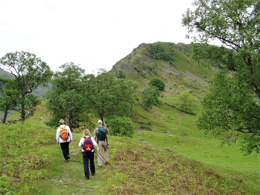 |
| The start of the walk with the steep ascent of Rough Crag on the far side of the ridge |
| |
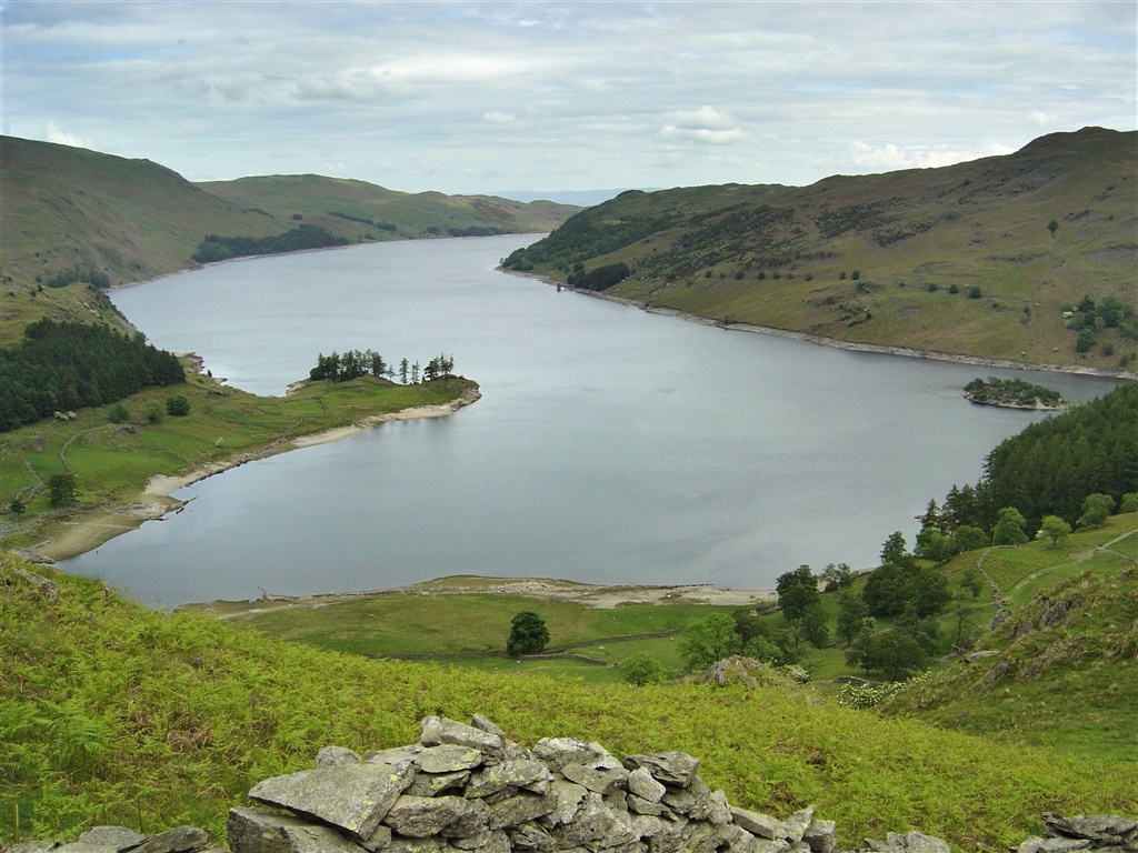 |
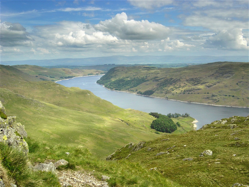
| Haweswater from near Swine Crag |
|
 |
| Looking down on Haweswater. It's a very steep as you climb up Rough Crag, but wonderful views |
| |
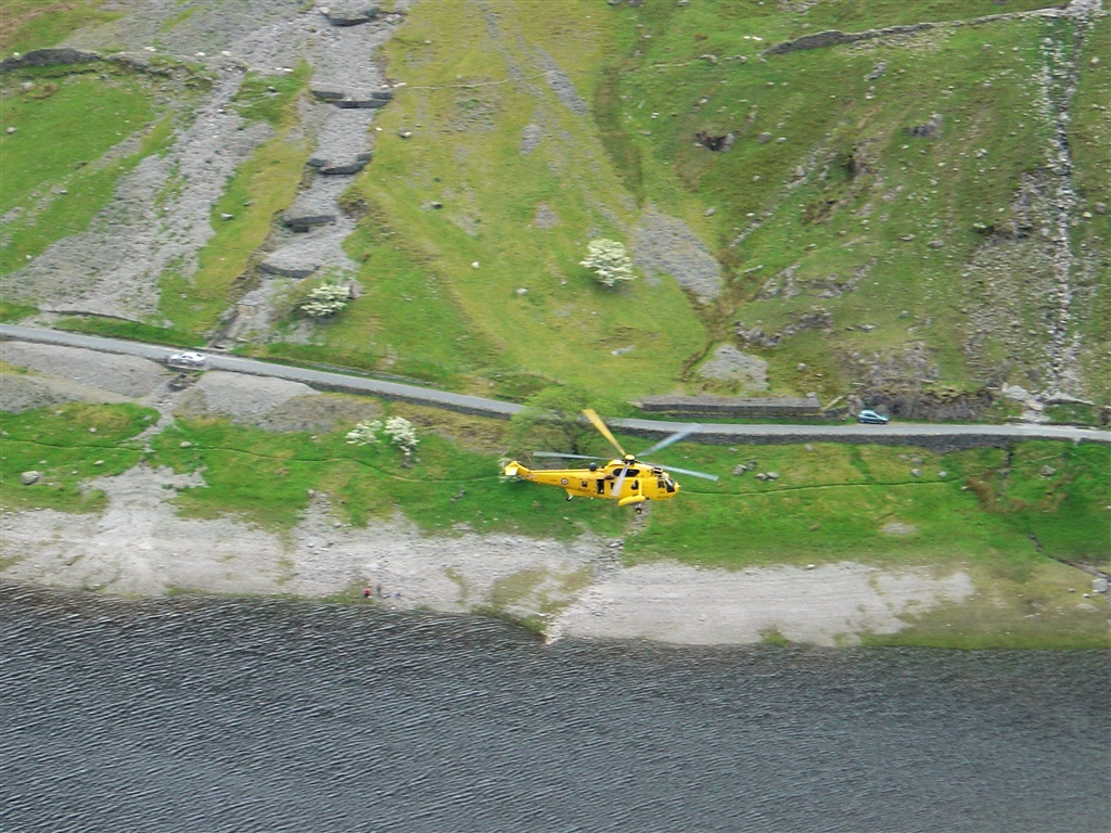 |
| .. ....even an Air Sea Rescue Helicopter flew below us |
| |
 |
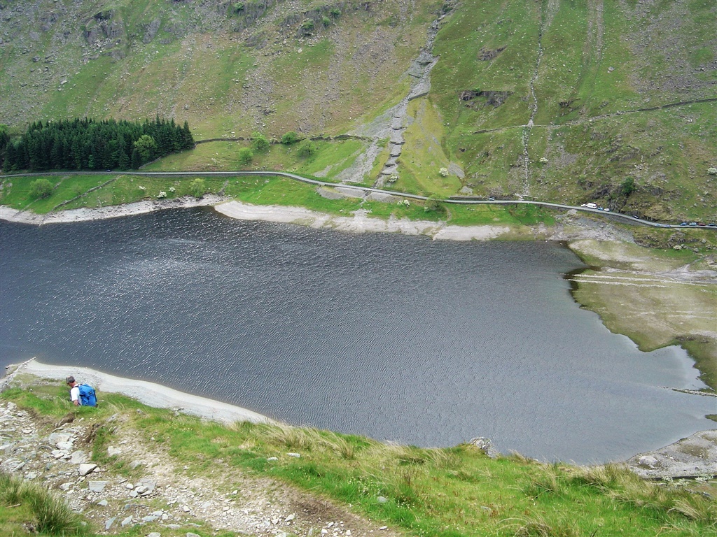
| Looking back on Haweswater from near Eagle Crag |
| |
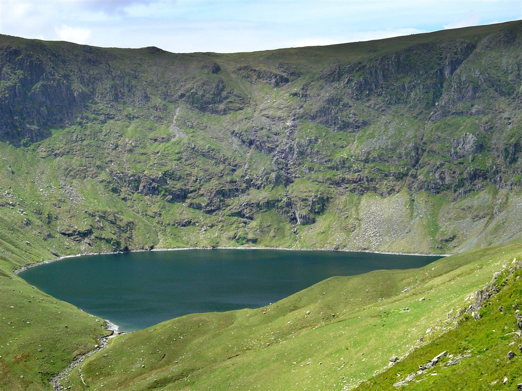 |
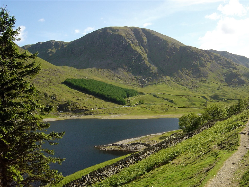
| First sighting of Blea Water from Rough Crag |
| |
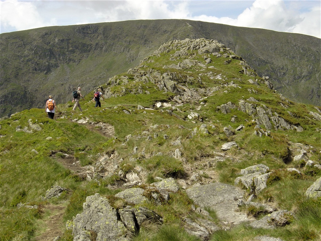 |
| Susan, Paul and Pam approaching Rough Crag summit, with High Street beyond. |
| |
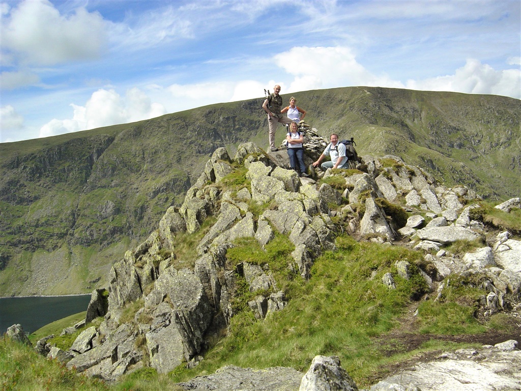 |
| All of us on Rough Crag summit. Blea Water to the left. |
| |
 |
| Just the little matter of climbing Long Stile to get to High Street summit |
| |
 |
| Looking back along Rough Crag and the tarn at Caspel Gate clearly visible |
| |
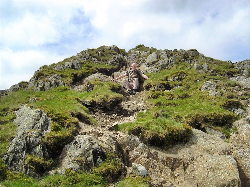 |
| Paul takes a rest on Long Stile |
| |
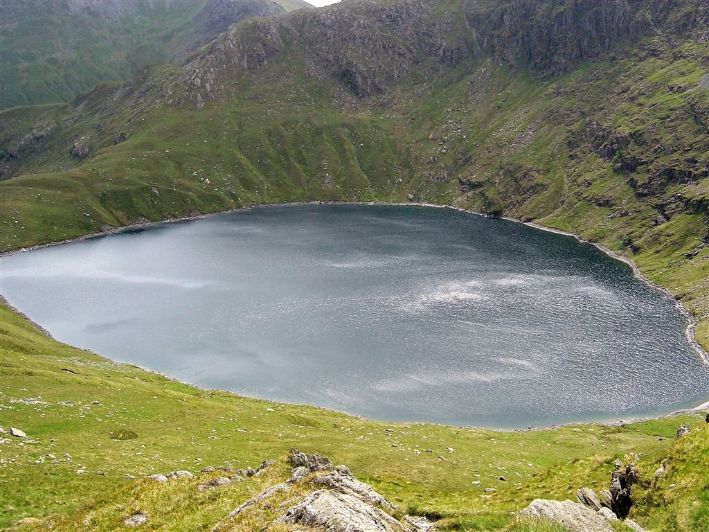 |
| Blea Water from Long Stile |
| |
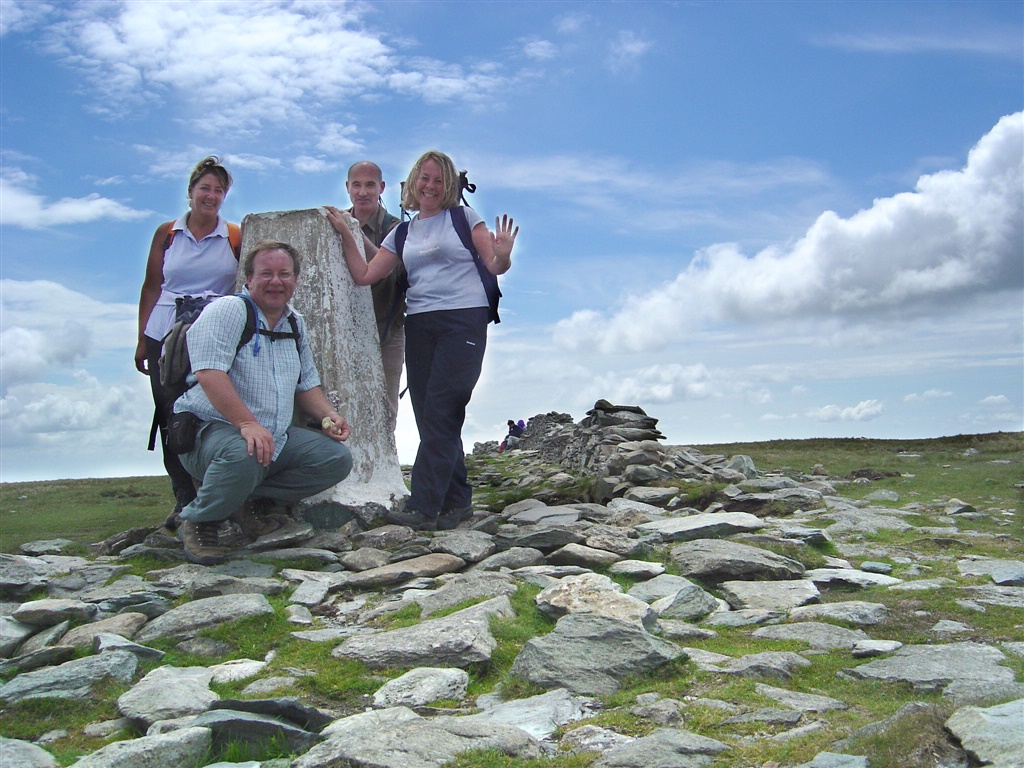 |
| With Long Stile conquered we pose on High Street summit |
| |
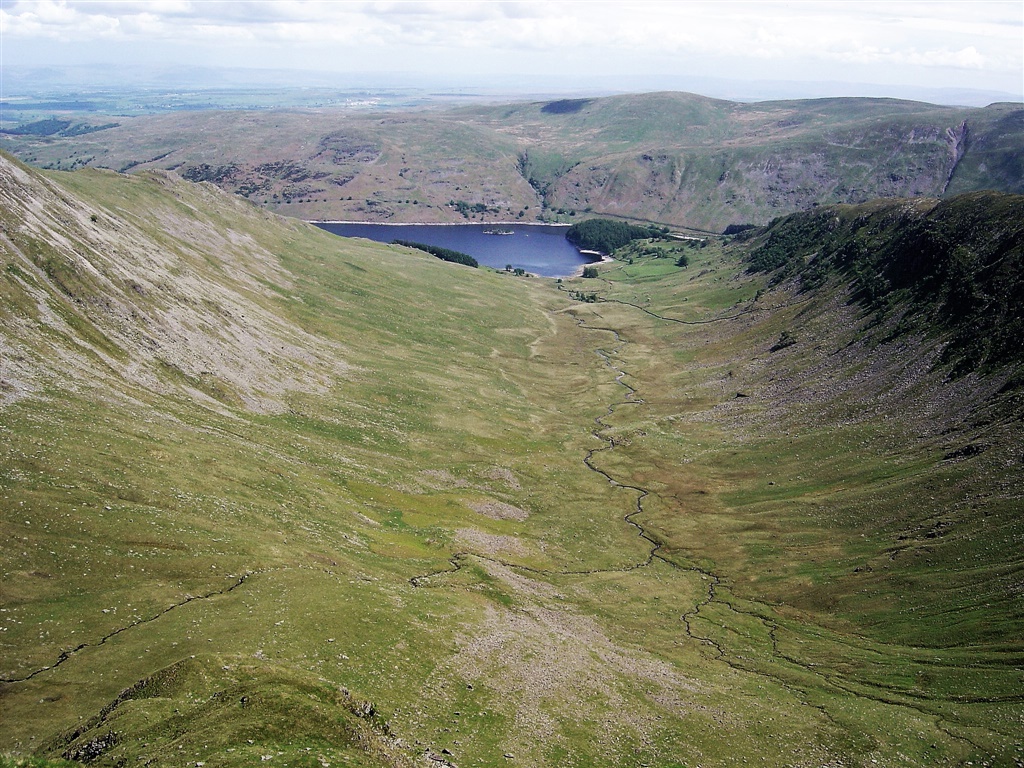 |
| Looking down Riggindale from the top of Short Stile |
| |
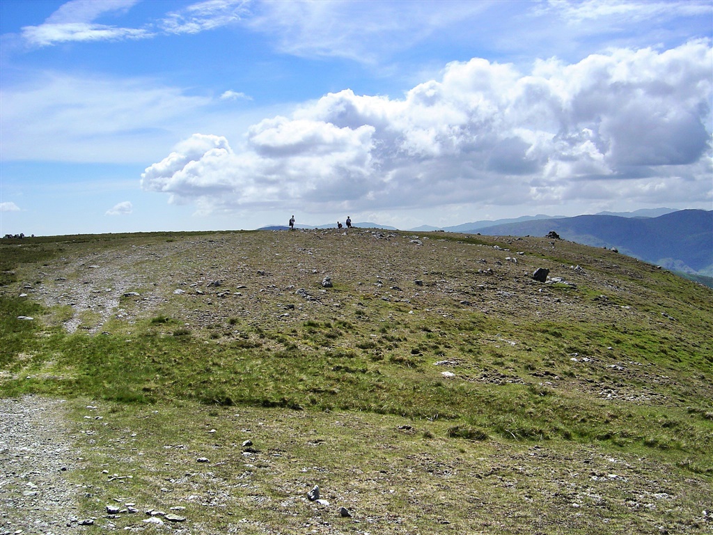 |
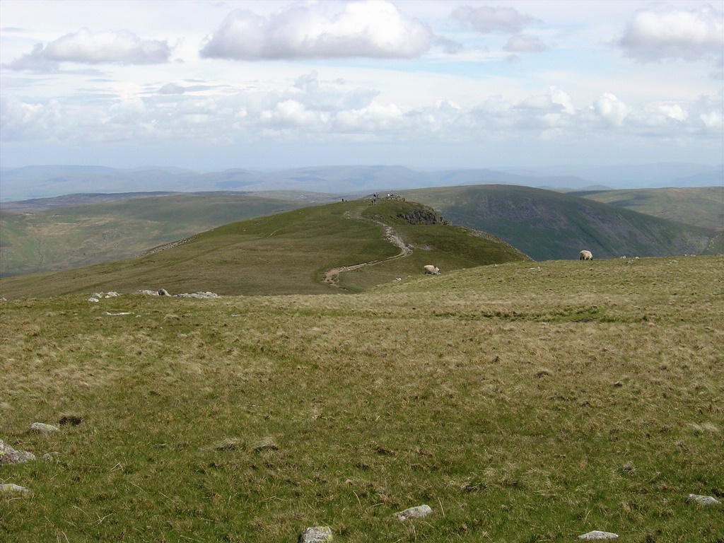
| Our next destination is Rampsgill Head summit, where the people are stood |
| |
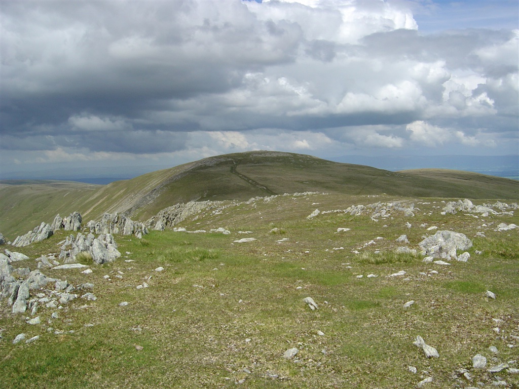 |
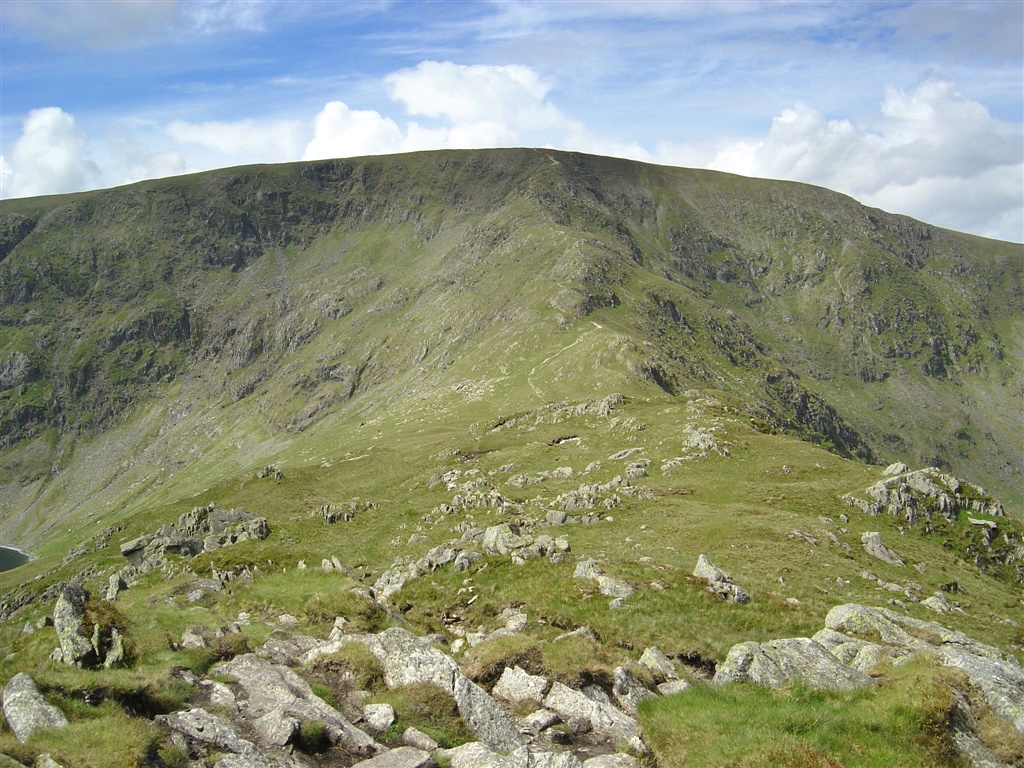
| A distant High Raise |
| |
 |
| Looking back to Rampsgill Head |
| |
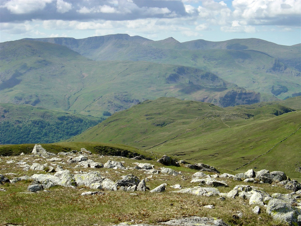 |
| The Helvellyn Range from near Rampsgill Head summit |
| |
 |
| Looking down on The Nab and Ramps Gill |
| |
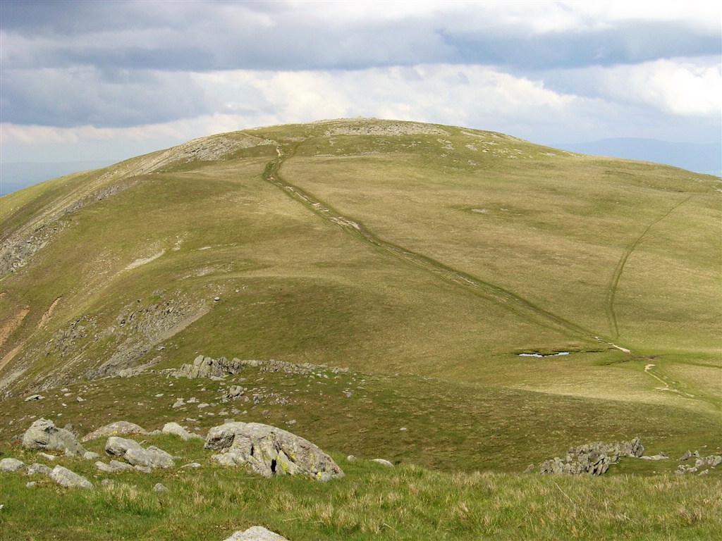 |
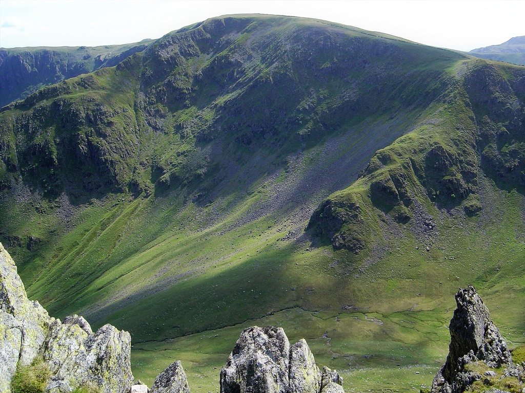
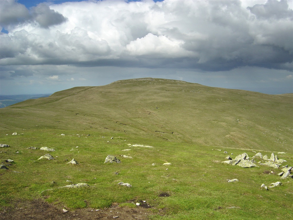
| High Raise from the slopes of Ramsgill Head. The Roman road High Street passes just to the left of Hgh Raise summit |
| |
 |
| Looking West from High Raise towards Helvellyn with a group of cyclists in front of the dark green summit of Rest Dodd |
| |
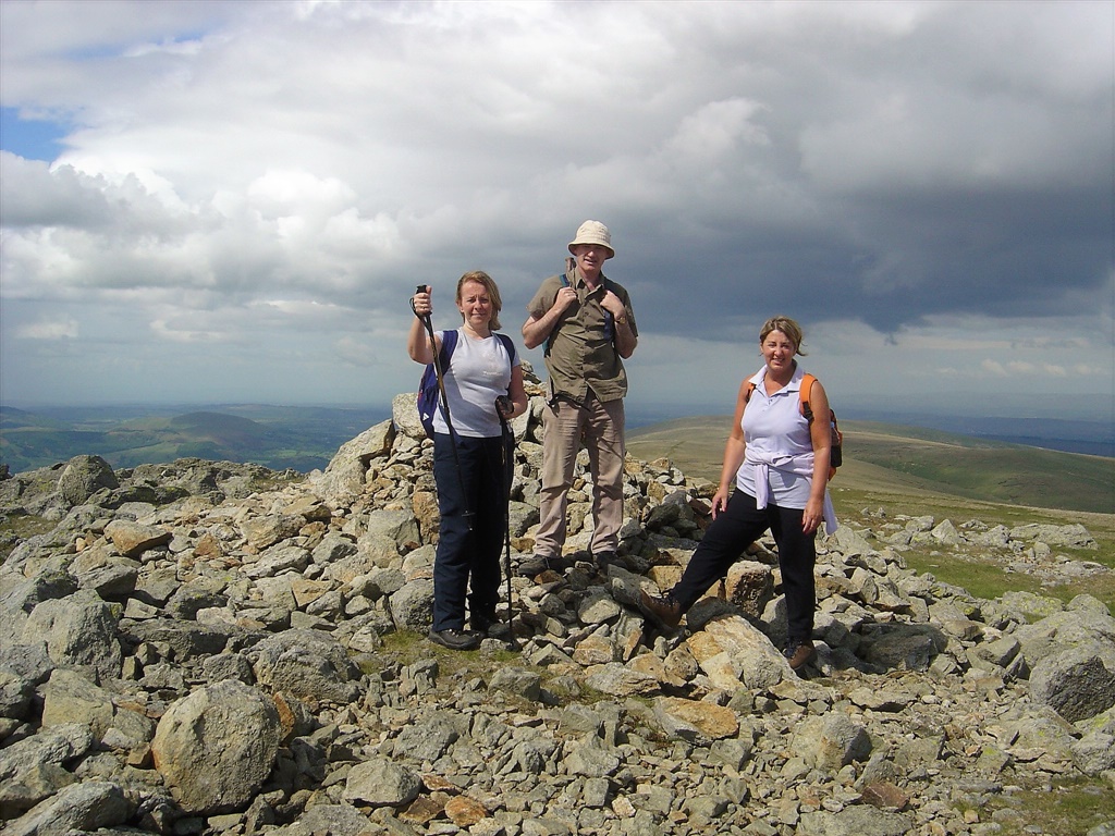 |
| Susan, Paul and Pam on High Raise |
| |
 |
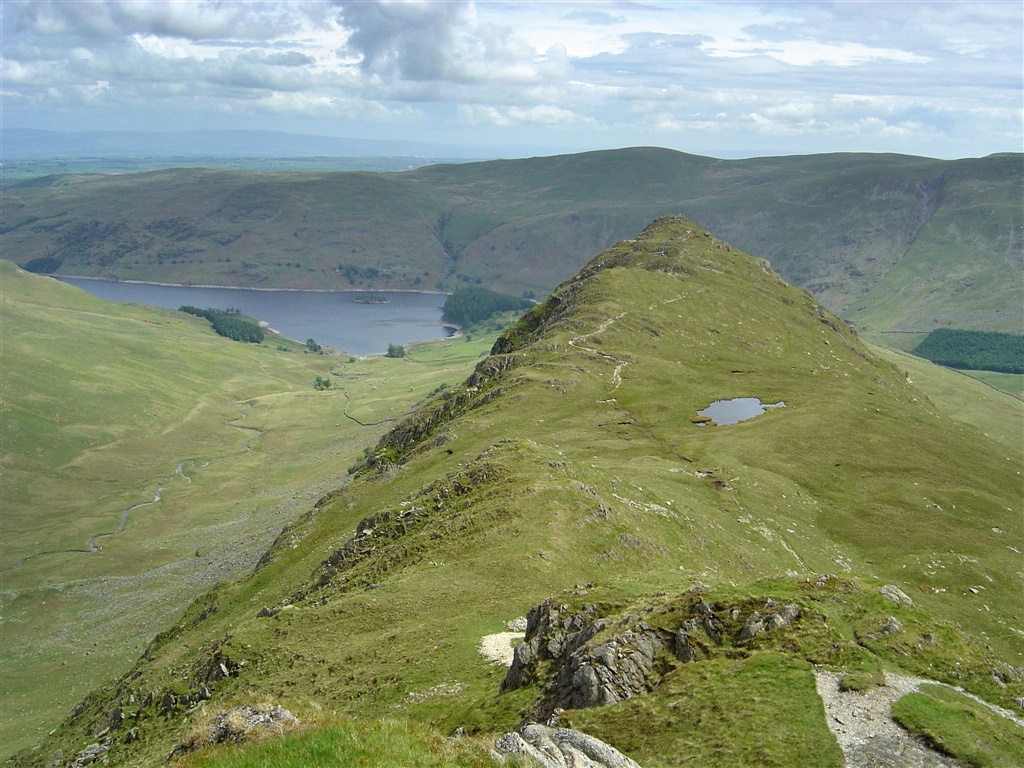
| High Street from Kidsty Pike |
| |
 |
| Kidsty Pike summit with the ridge of Rough Crag beyond and Gatescarth Pass (l) Harter Fell (c) and Nan Bield Pass (r) on the skyline |
| |
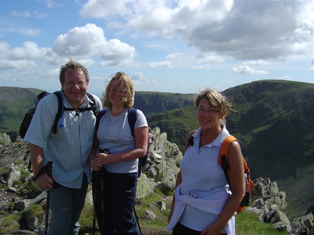 |
| Jed, Susan and Pam on Kidsty Pike summit |
| |
 |
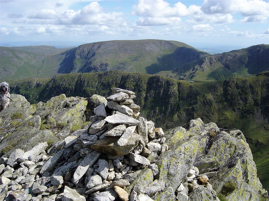
| Looking back to High Raise from Kidsty Pike |
| |
 |
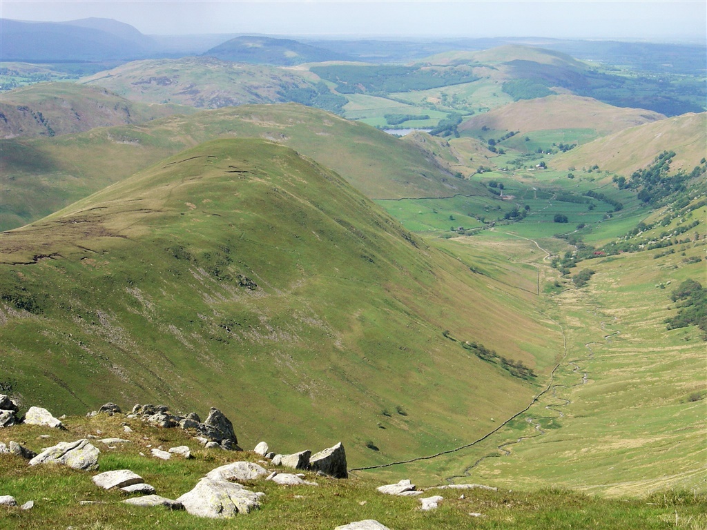
| The Rigg from the lower slopes of Kidsty Howes |
| |
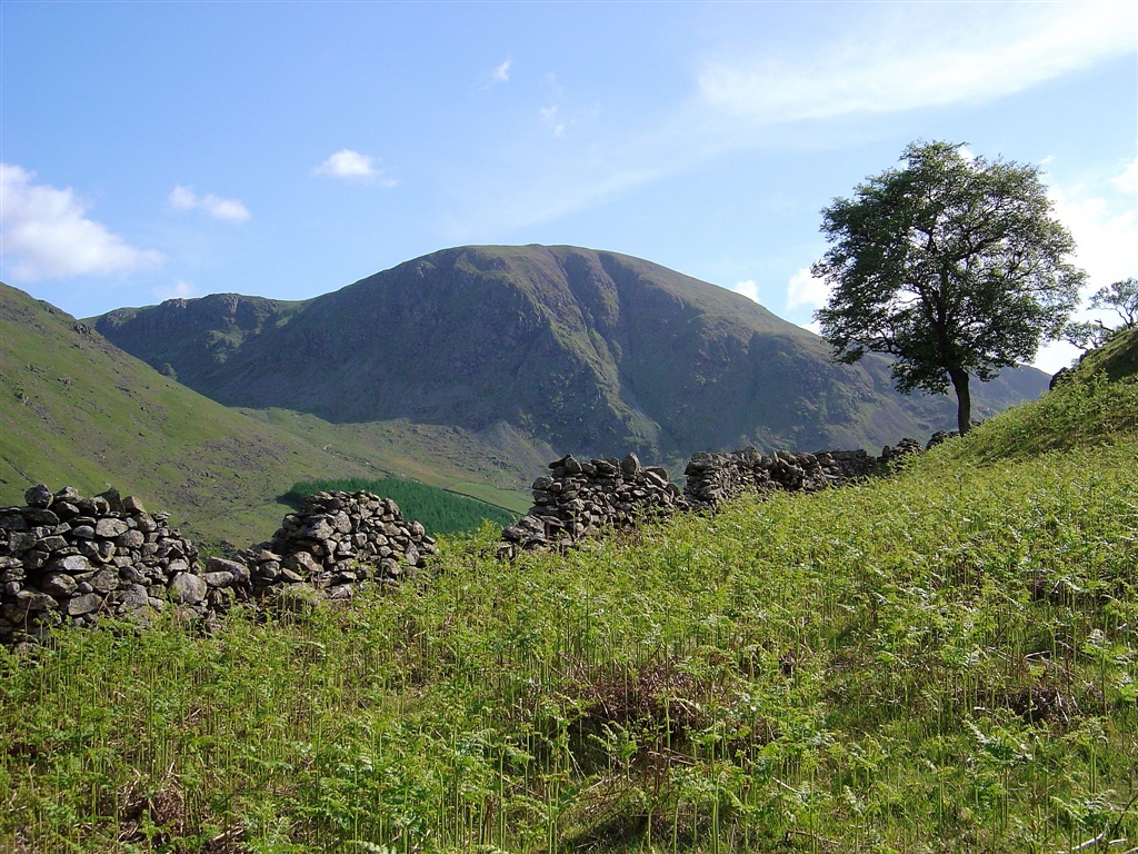 |
| Harter Fell |
| |
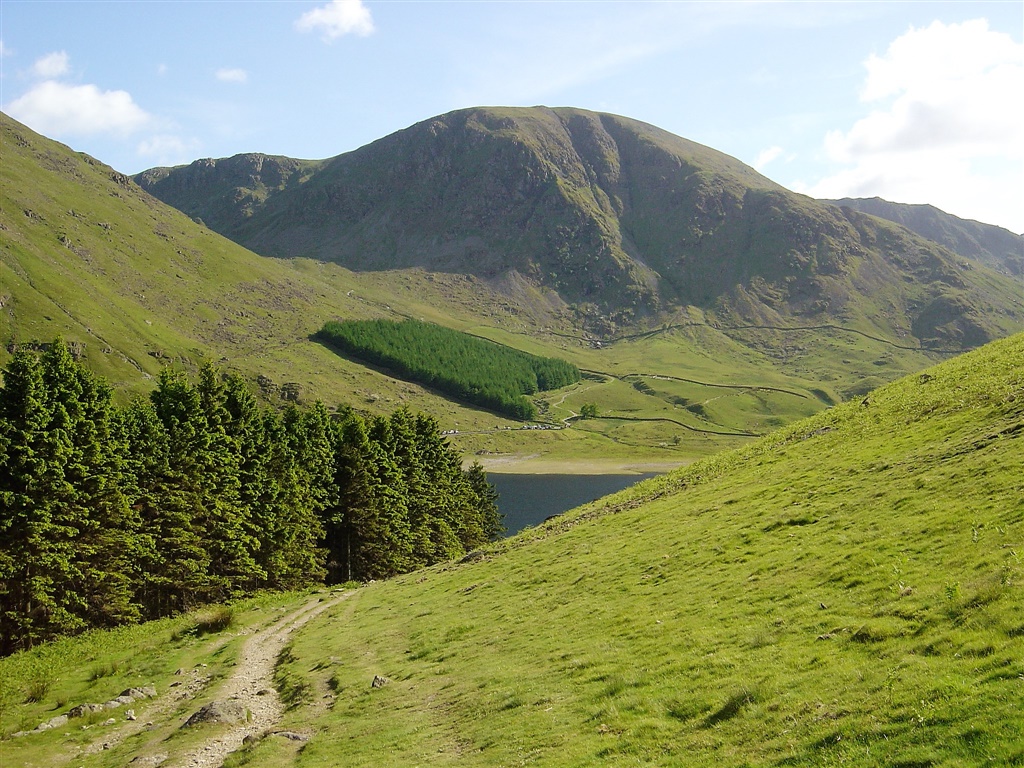 |
| Harter Fell from near the Rigg |
| |
 |
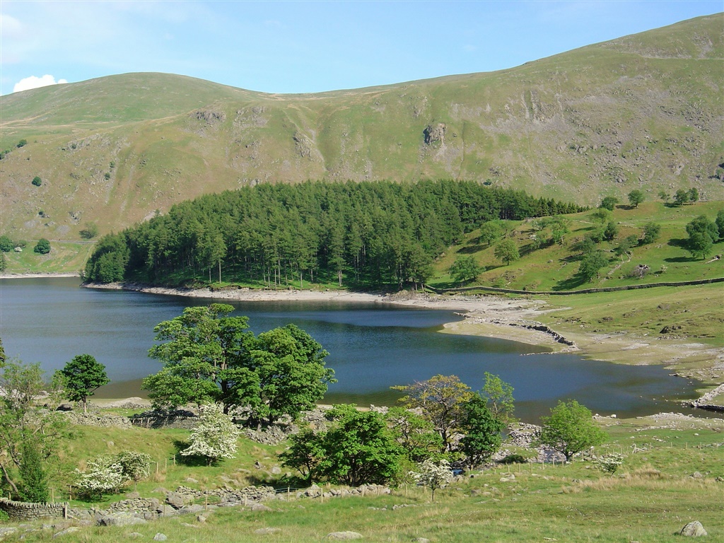
| .. and another shot from a little nearer with Haweswater in the foreground |
| |
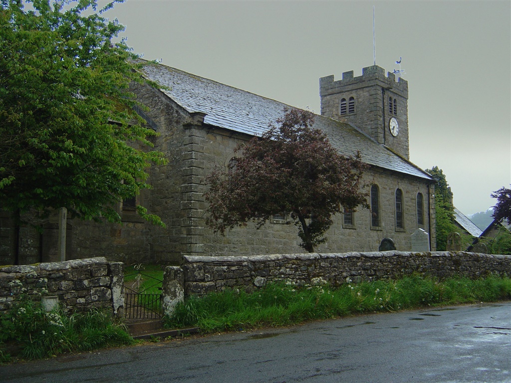 |
| The church at Bampton Grange from the Crown. |
| |
| |
|