Hayeswater


Date                   20/3/2004  

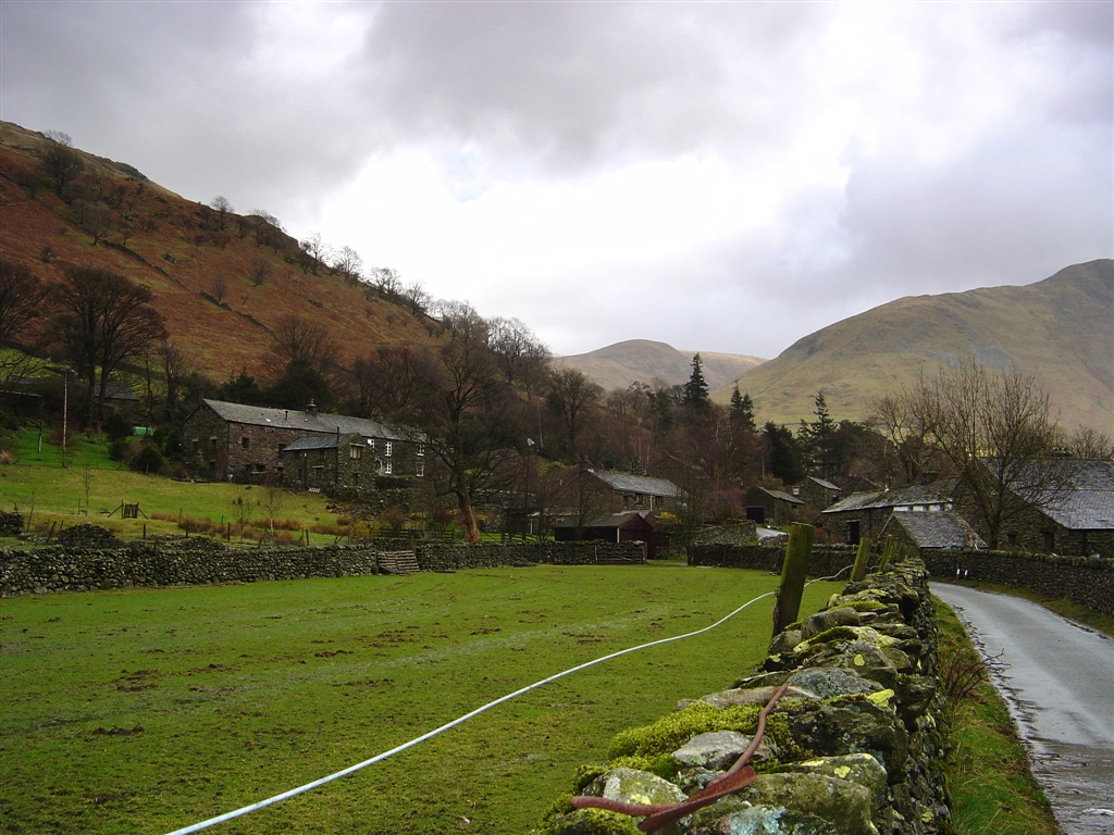
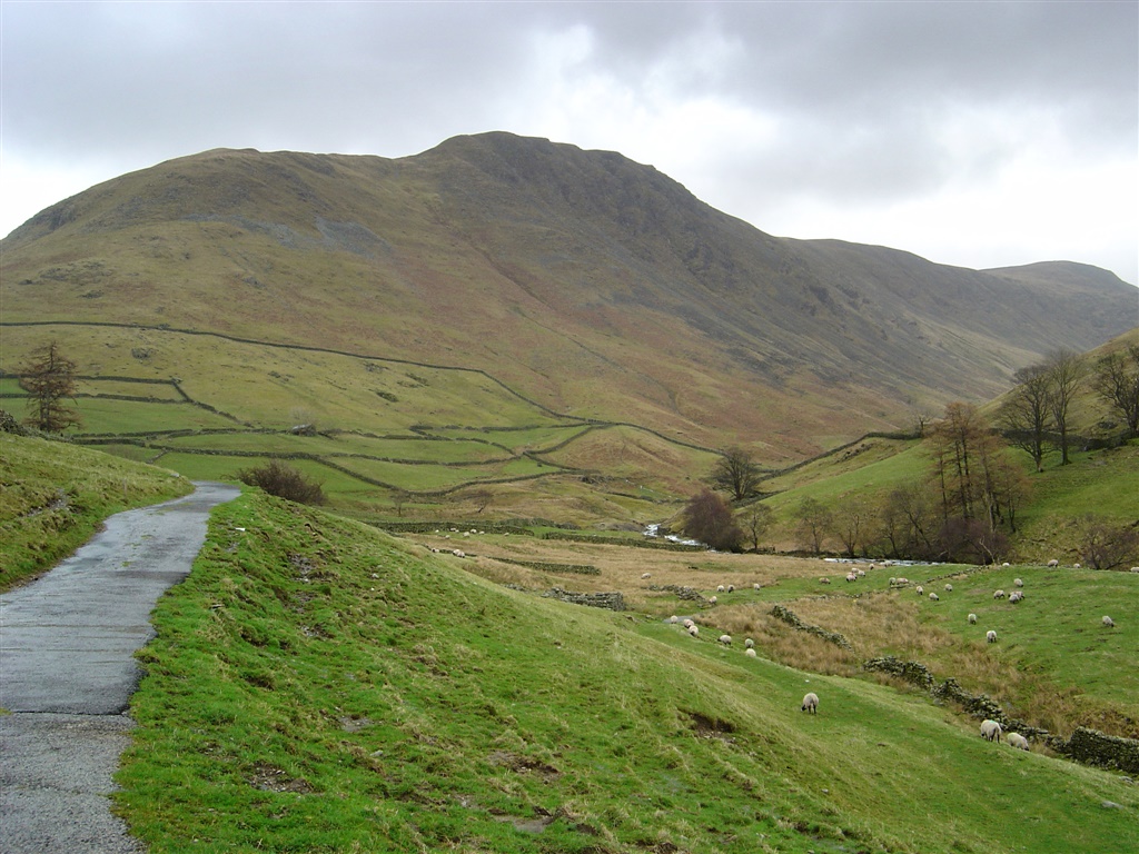
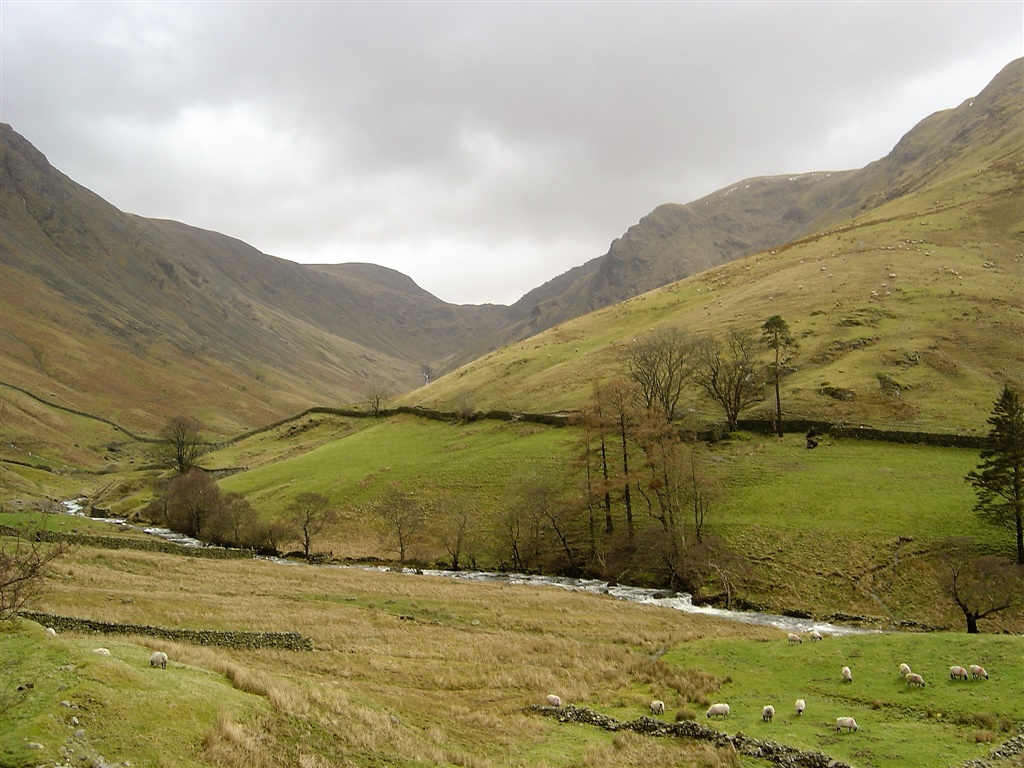
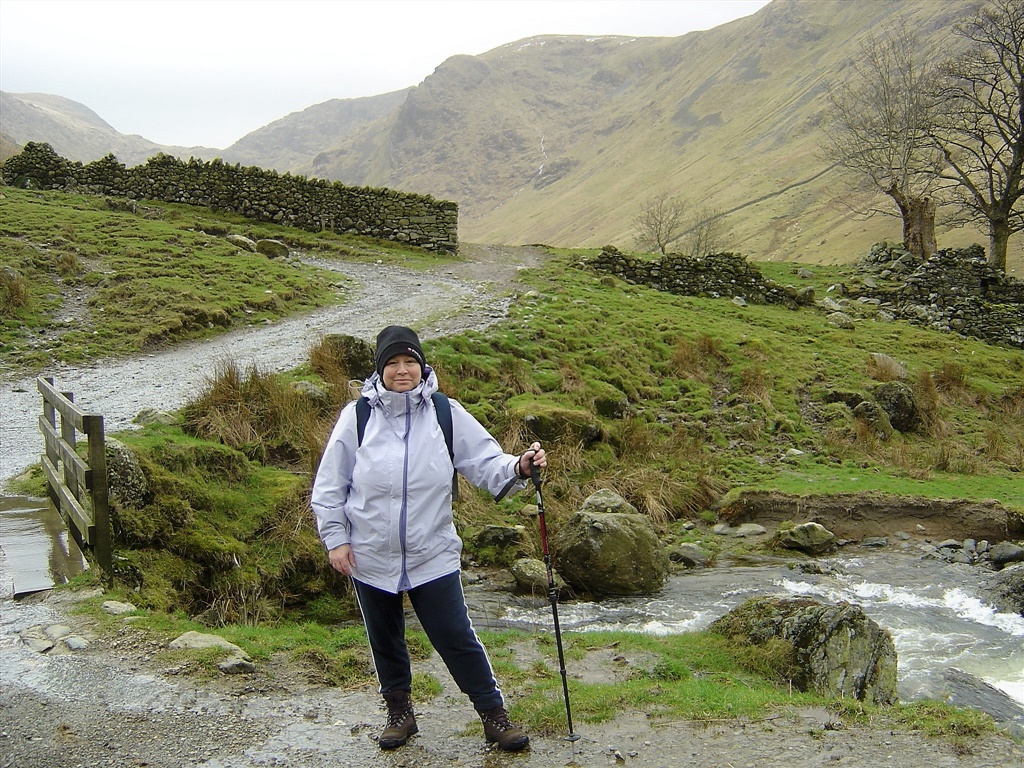
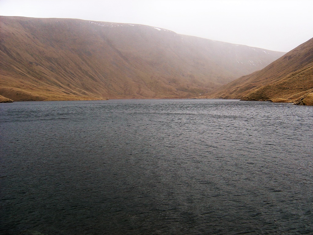
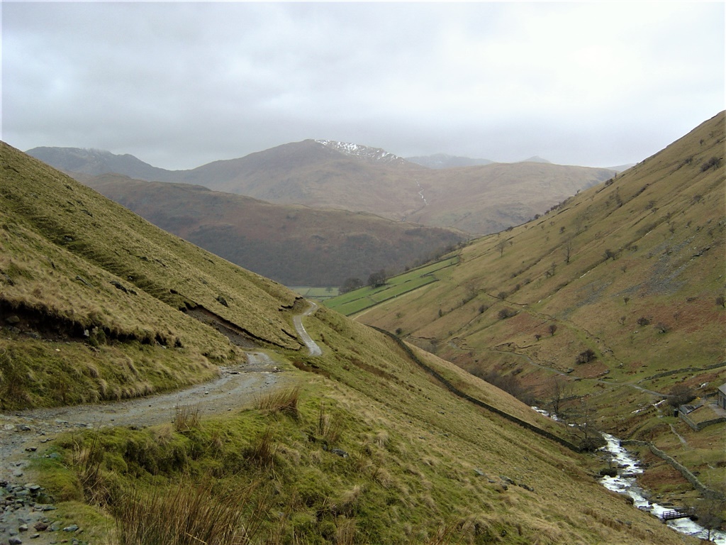
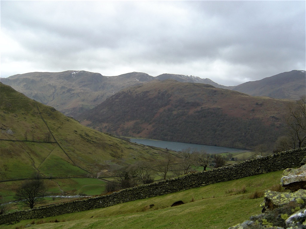
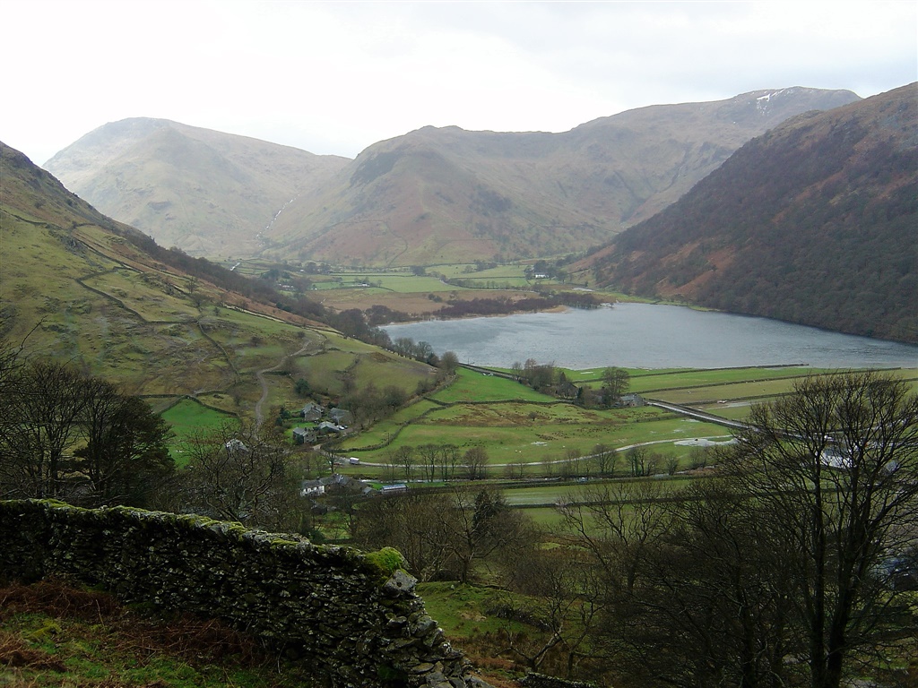
HAYESWATER - near Hartsop, was dammed in 1908 to create a reservoir to provide a water supply to communities around Ullswater. It has not been used since 2005, when water company United Utilities started piping water from larger Haweswater. United Utilities removed the dam and restored it to a mountain tarn in the summer of 2014. A new footbridge over Hayeswater Beck was also constructed 250 yards downstream from the tarn outlet channel.

So now it should again be called Hayeswater (Tarn not reservoir)


Walks done by: Jed and Barb    
Weather:  Very very windy. Heavy rain at times    
Distance 5.5 miles    
Started at: Cow Bridge Car Park    


The lane leading to the beautiful and timeless village of Hartsop 
Shortly after leaving the village this impressive view of Gray Crag appears. See here for the Gray Crag walk.
 
Looking up to Threshwaite Cove
 
Me on the bridge crossing Hayeswater Gill
 
Barb by Hayeswater Gill
 
The recent rain had made the Gill be in full flow


A full Hayeswater. After this walk (in 2005) Hayeswater was decommissioned as a reservoir. A couple of years later the dam was removed and the reservoir became a tarn again with its water level reducing by 6 feet to its pre 1908 level
 
Looking back down the path we had used to ascend


Looking up Pasture Bottom with Raven Crag in the centre of the picture.
 
Brotherswater is just visible below the ridge to Hartsop above How
 
The view of Brotherswater from Eden Beck on the slopes of Brock Crag
 
Thick moss in Calf Close woods
 
Brotherswater
 
and the flooded fields on the northern side of Brotherswater. Brock Crags are beyond