| Causey Pike, Scar Crags, Sail and Crag Hill |
| |
|
|
|
|
|
| |
|
|
|
|
| Date |
27/7/2002 |
|
CAUSEY PIKE - deservedly this is a popular climb, with heavy summer traffic, the route being quite charming, the views superlative, the finish a bit of real mountaineering, and the summit a place of distinctive character
SCAR CRAGS - continues the line of the ridge towards Eel Crag, and does so in rather striking fashion. SAIL - The flanks of the fell are steep, excessively so to the south
CRAG HILL - it commands an excellent all round view
A. Wainwright |
|
|
| Walk done by: |
Jed |
|
|
| Weather: |
Misty to begin, and improving to a lovely evening. Temp Very warm |
|
|
| Distance |
10 miles. |
|
|
| Started at: |
Stoneycroft |
|
|
| Height:- |
|
|
|
| Causey Pike |
2090' |
|
|
| Scar Crags |
2205' |
|
|
| Sail |
2536' |
|
|
| Crag Hill (Eel Crag) |
2753' |
|
|
|
|
|
|
|
|
|
|
| |
|
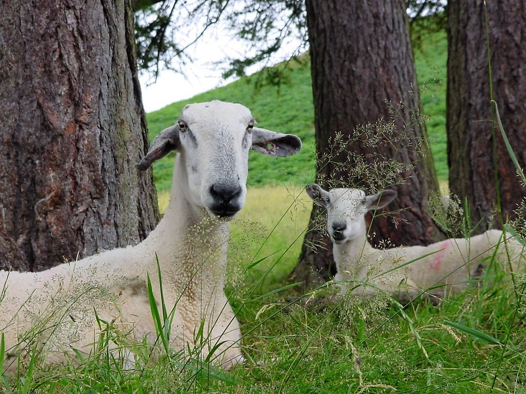
Sheep in Newlands valley at the start of the walk
|
| |
 |
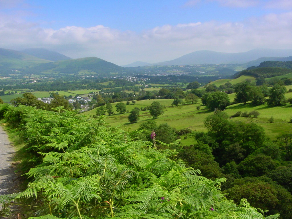
| Looking across the valley to Catbells |
| |
 |
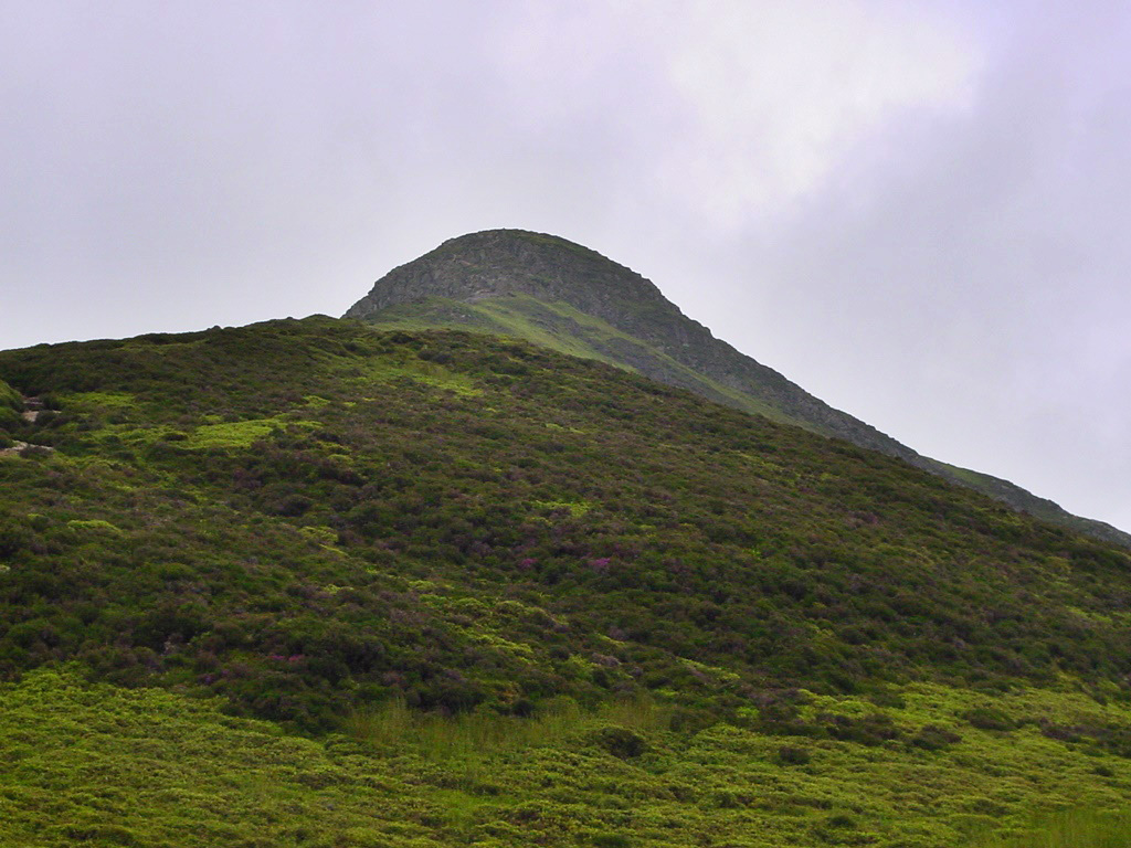
| Causey Pike summit is capped with cloud |
| |
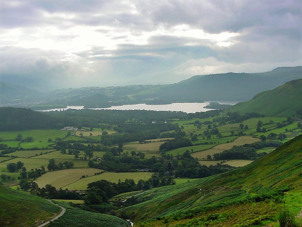 |
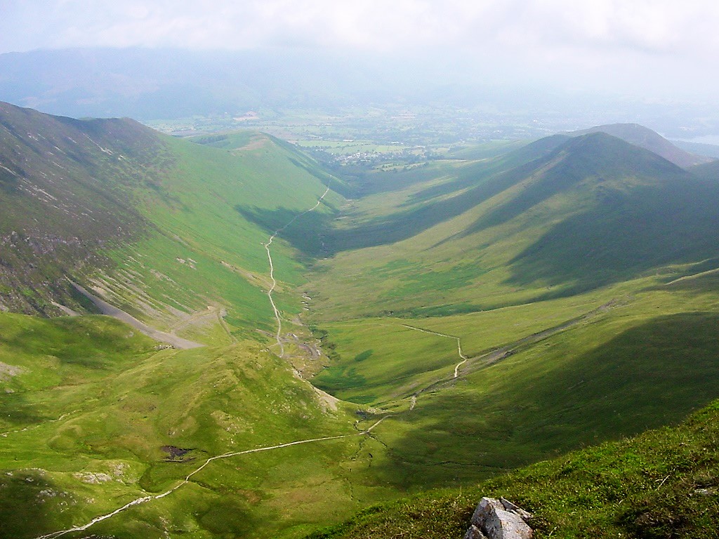
| Looking back to Derwentwater from the low slopes of Causey Pike |
| |
 |
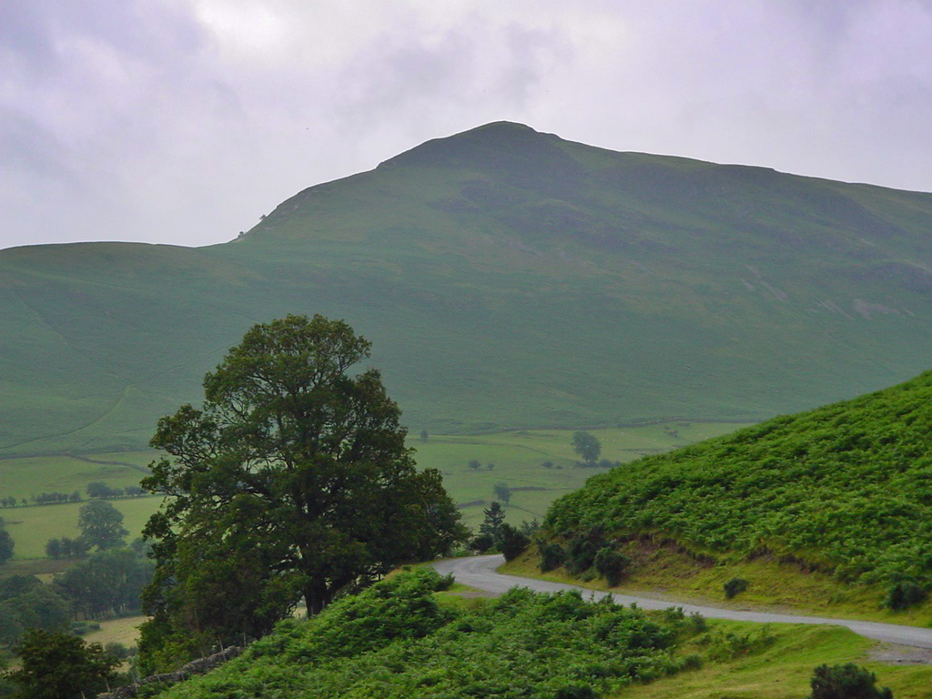
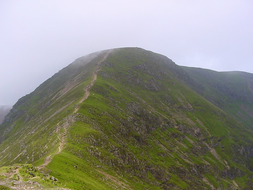
| The daunting climb |
| |
 |
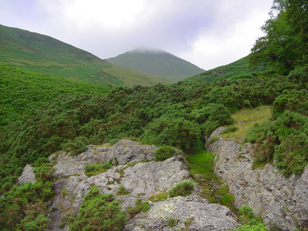
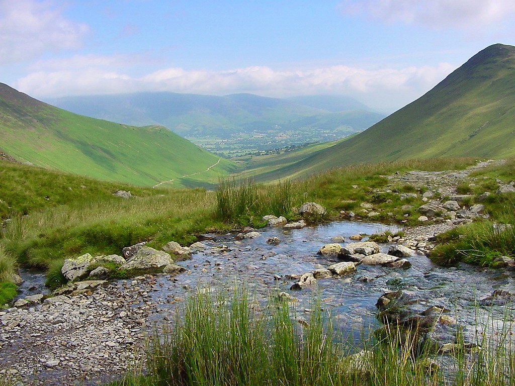
| Sleet Hause from the steep ascent to the summit. The small speck near the fork in the path is a tent |
| |
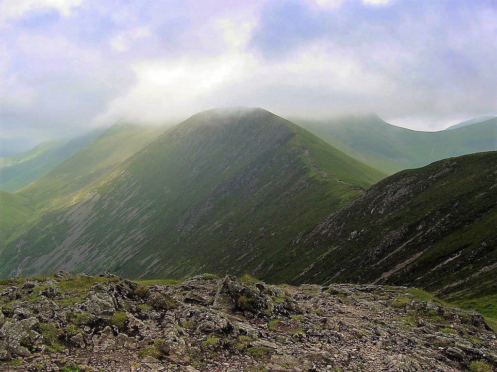 |
| Scar Crags from Causey Pike summit |
| |
 |
| Looking down on Rigg Beck from the summit |
| |
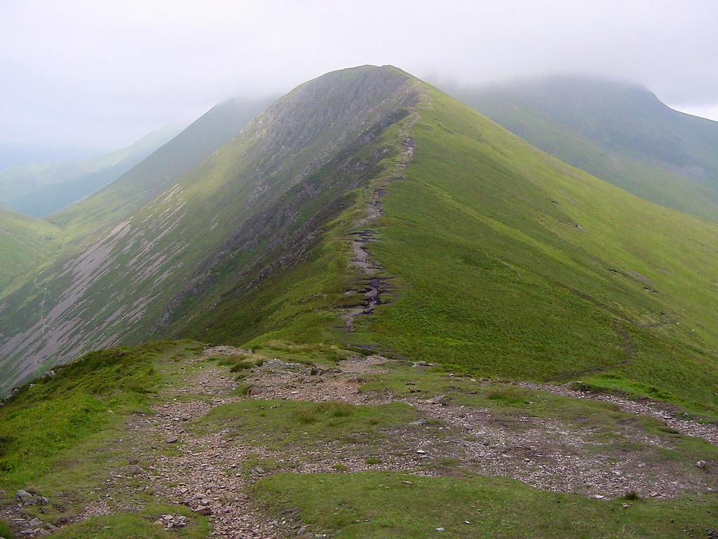 |
| The ridge to Scar Crags |
| |
 |
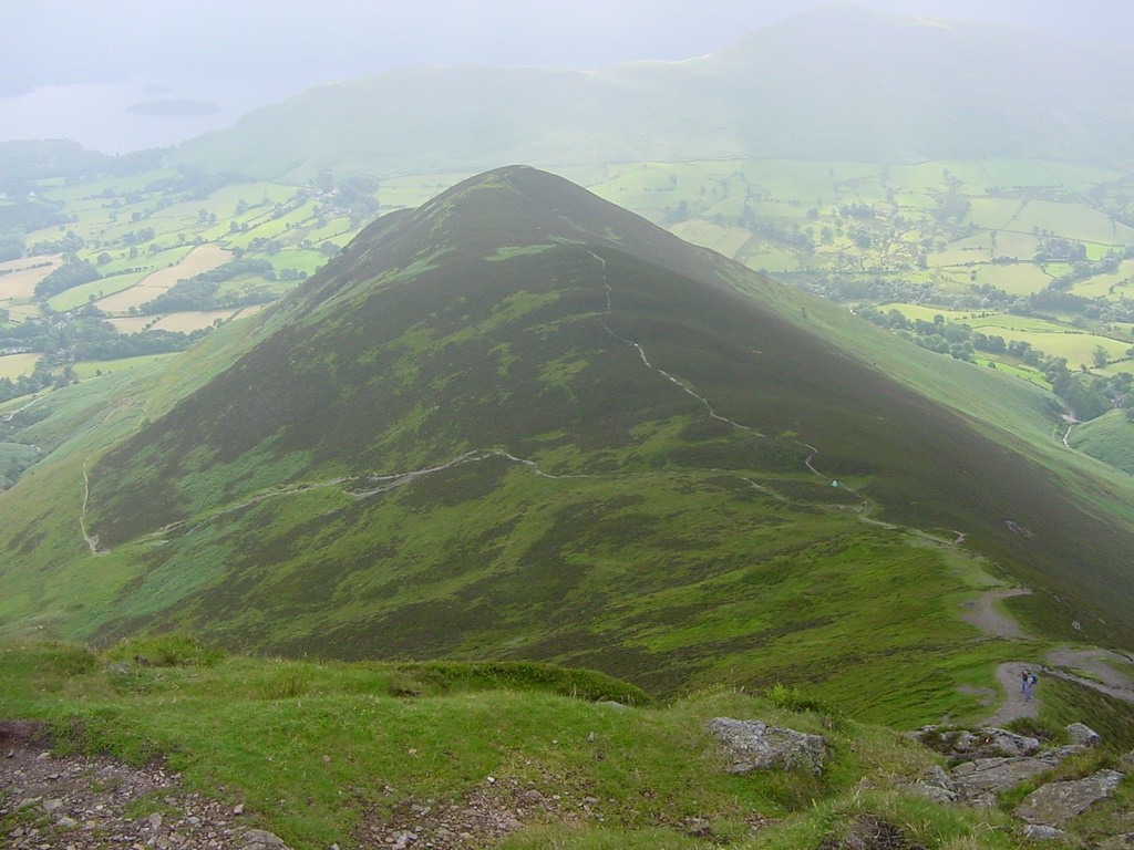
| Looking back To Causey Pike with two people on the summit |
| |
 |
| The sun finally appears and lights up Grisedale Pike across Coledale |
| |
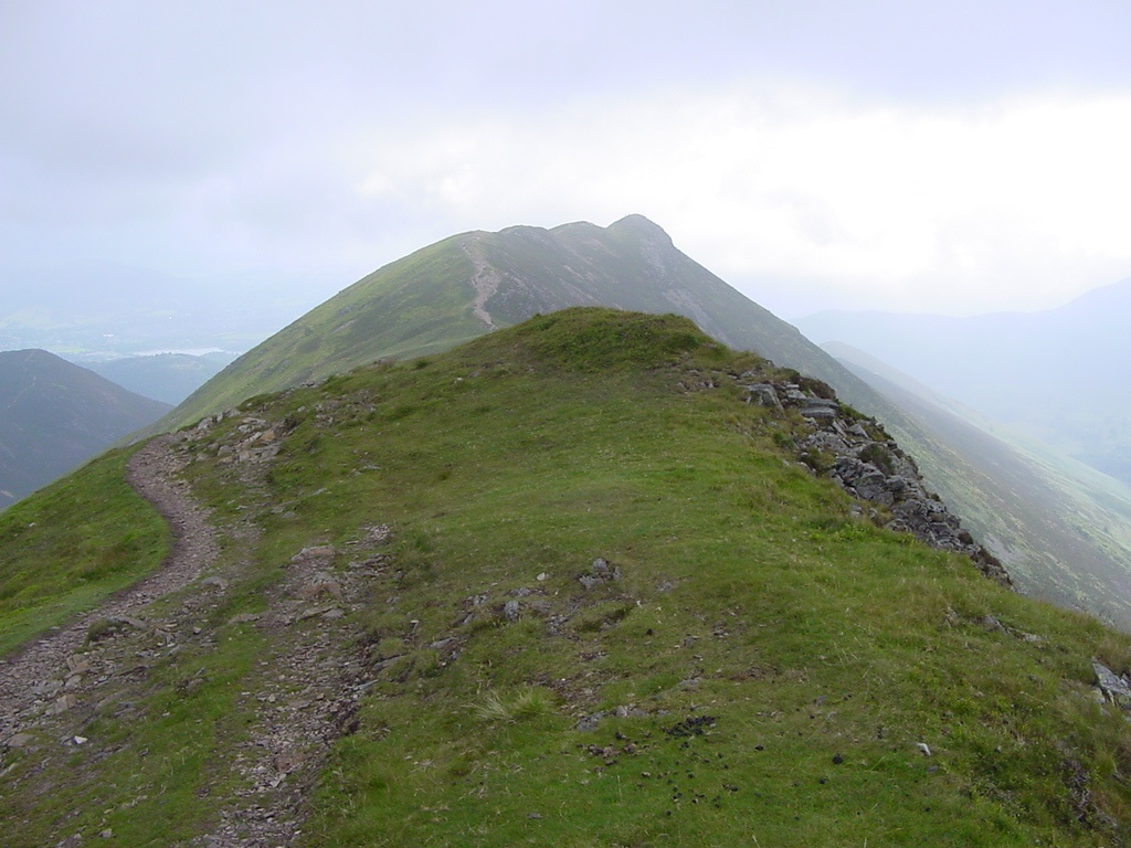 |
| Looking back along the ridge to Causey Pike from Scar Crags |
| |
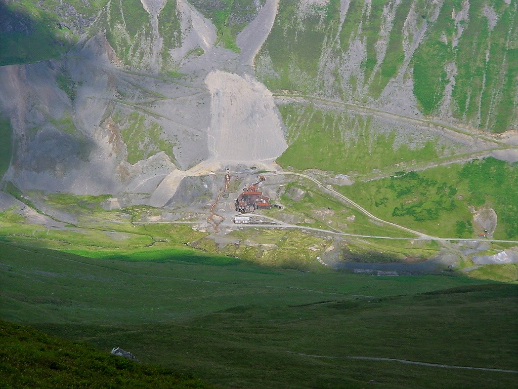 |
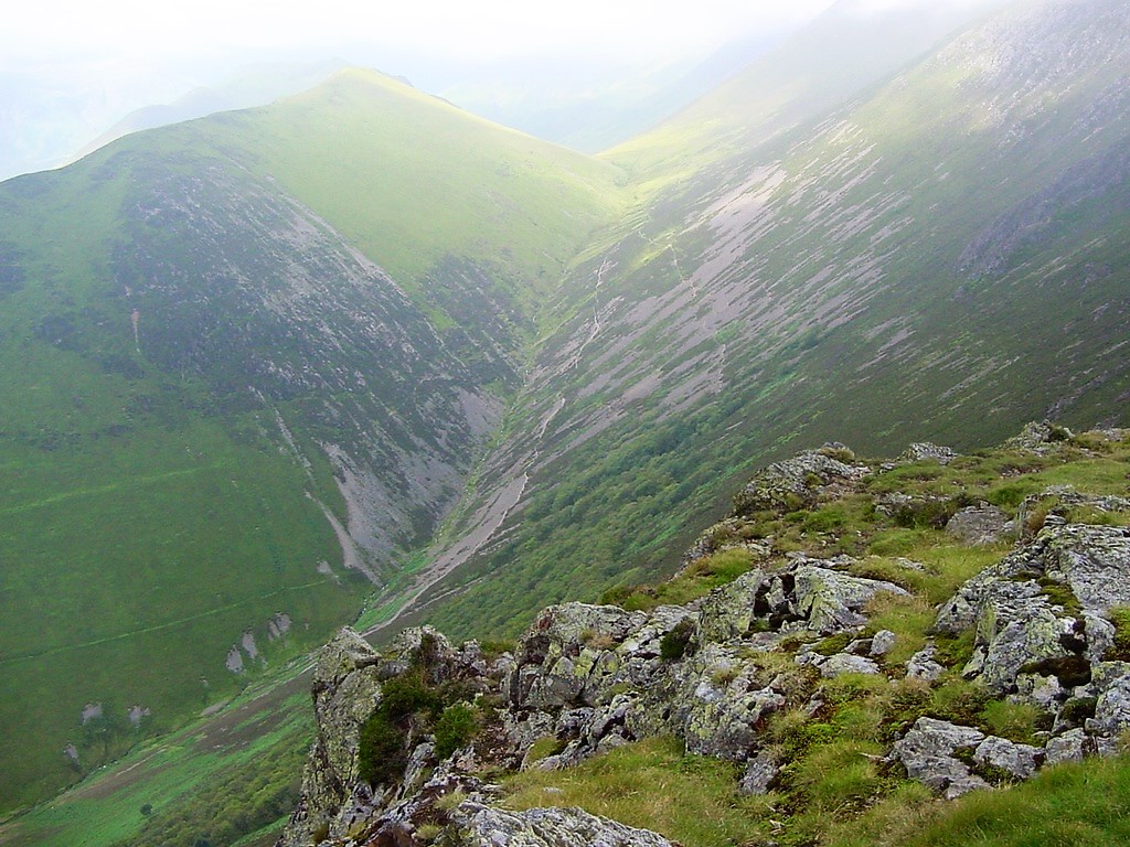
| Looking down to Force Crag mine |
| |
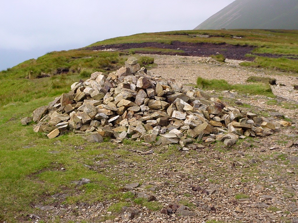 |
| The summit cairn of Scar Crags |
| |
 |
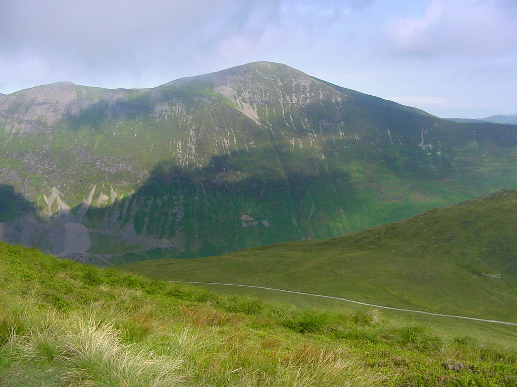
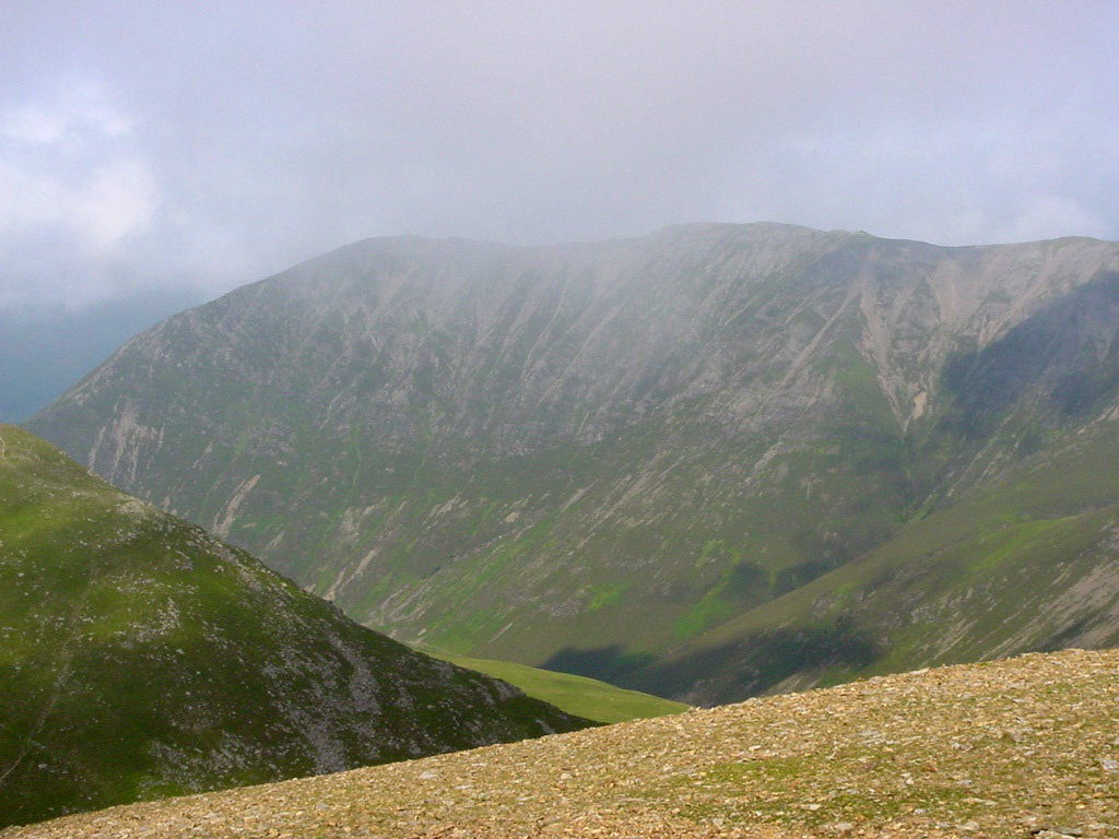
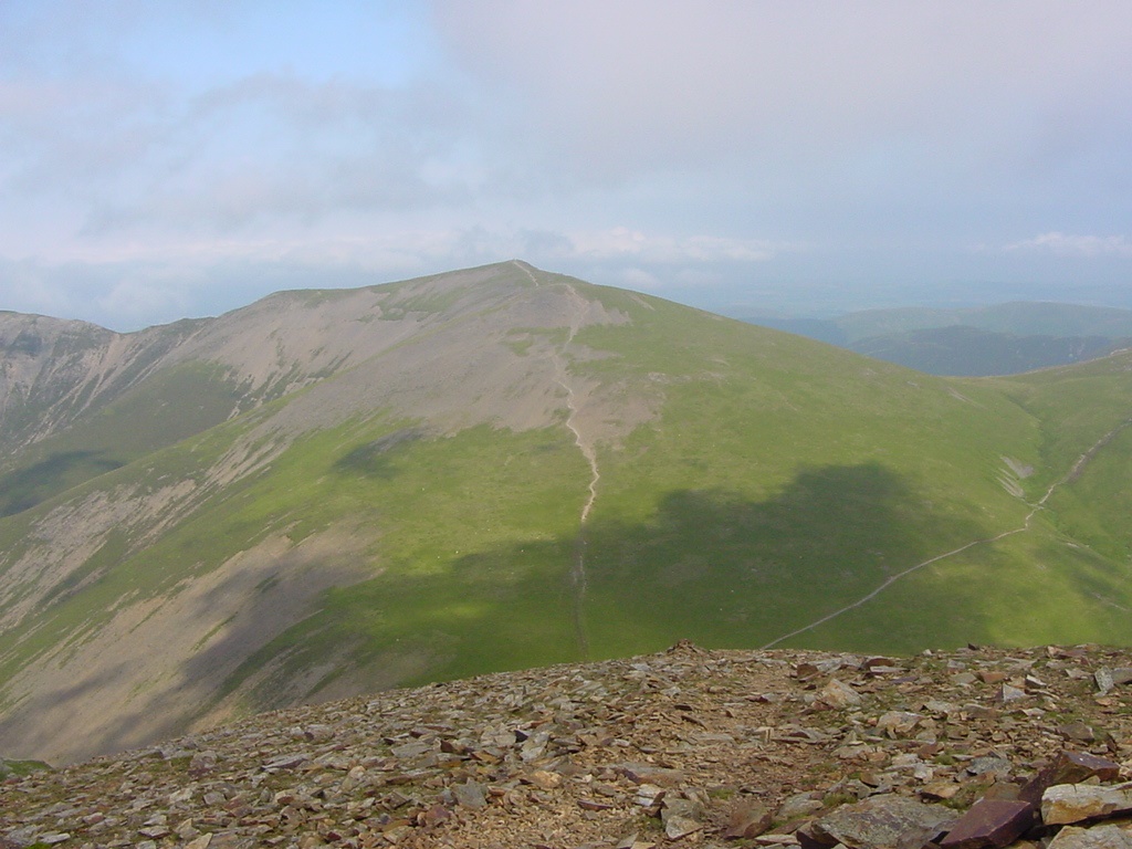
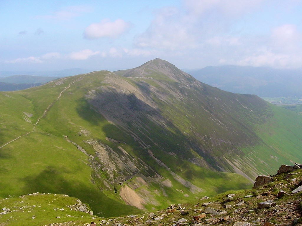
The view to Sail and the long slog from Sail Pass
|
| |
 |
| Sail summit |
| |
 |
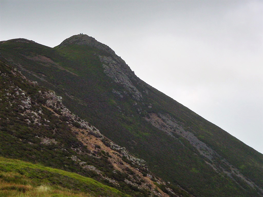
| The path up to Crag Hill (Eel Crag as AW called it) |
| |
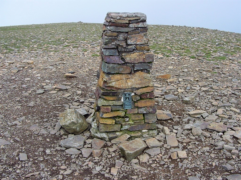 |
| Crag Hill summit (2753') |
| |
 |
| Whiteside from Crag Hill |
| |
 |
| Hopegill Head from Crag Hill |
| |
 |
| The view down Coledale from Crag Hill |
| |
 |
| Grisedale Pike from the northern slopes of Crag Hill |
| |
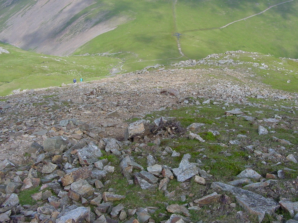 |
| "Riding thee Scree" as Genesis sang. Its steep and hard going down this section to Coledale Hause |
| |
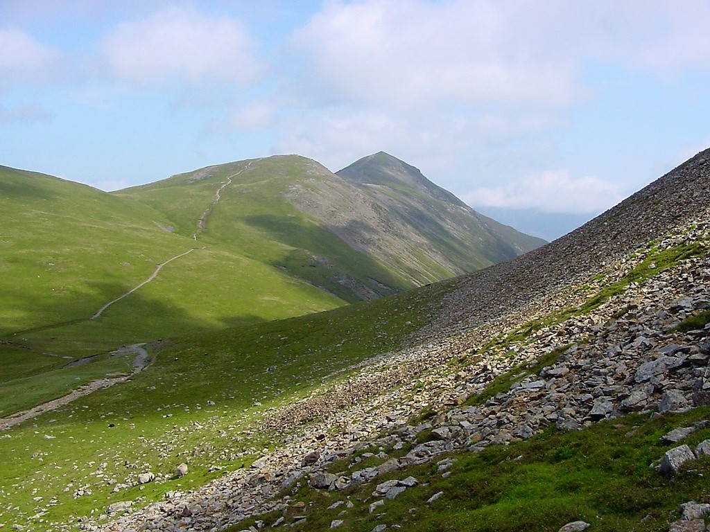 |
| Nearing Coledale Hause, this is the view to Grisedale Pike |
| |
 |
| |
| |
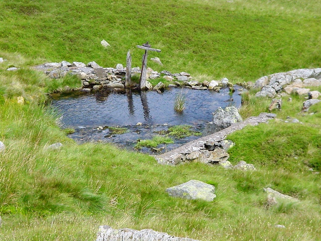 |
| The remains of a dam at NY196212 |
| |
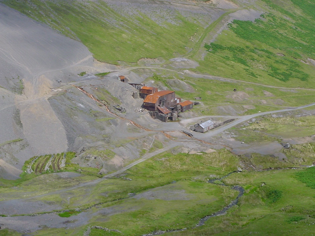 |
| Looking down to Force Crag mine |
| |
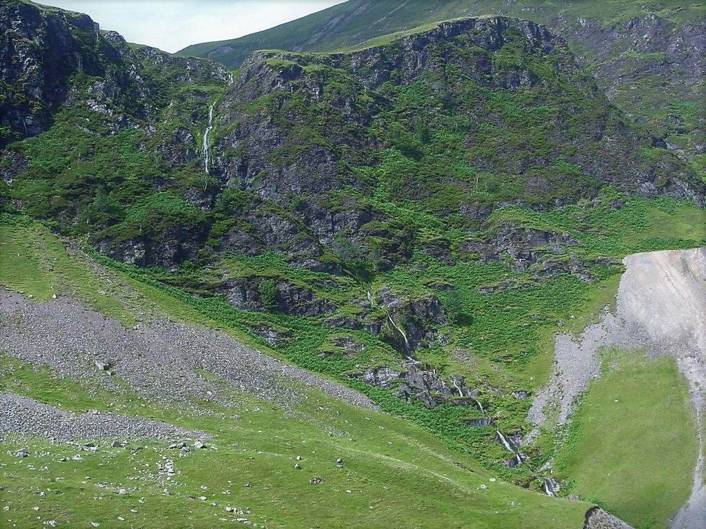 |
| The waterfall named Low Force tumbling down Force Crag |
| |
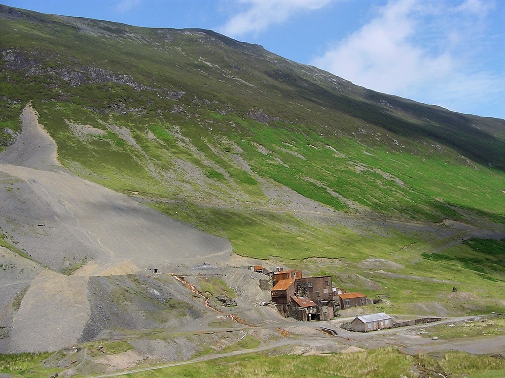 |
| Force Crag mine |
| |
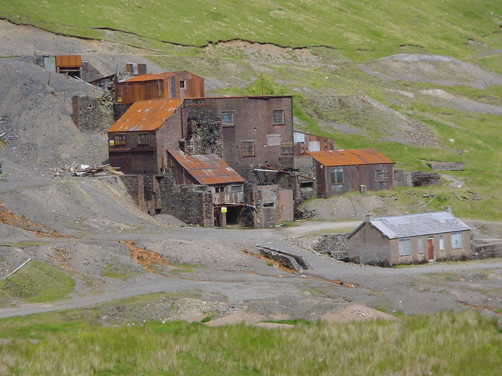 |
| Close up of the abandoned Force Crag mine |
| |
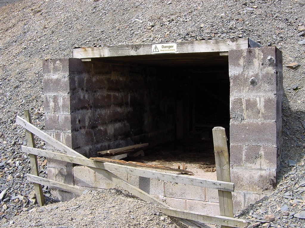 |
| A mine entrance |
| |
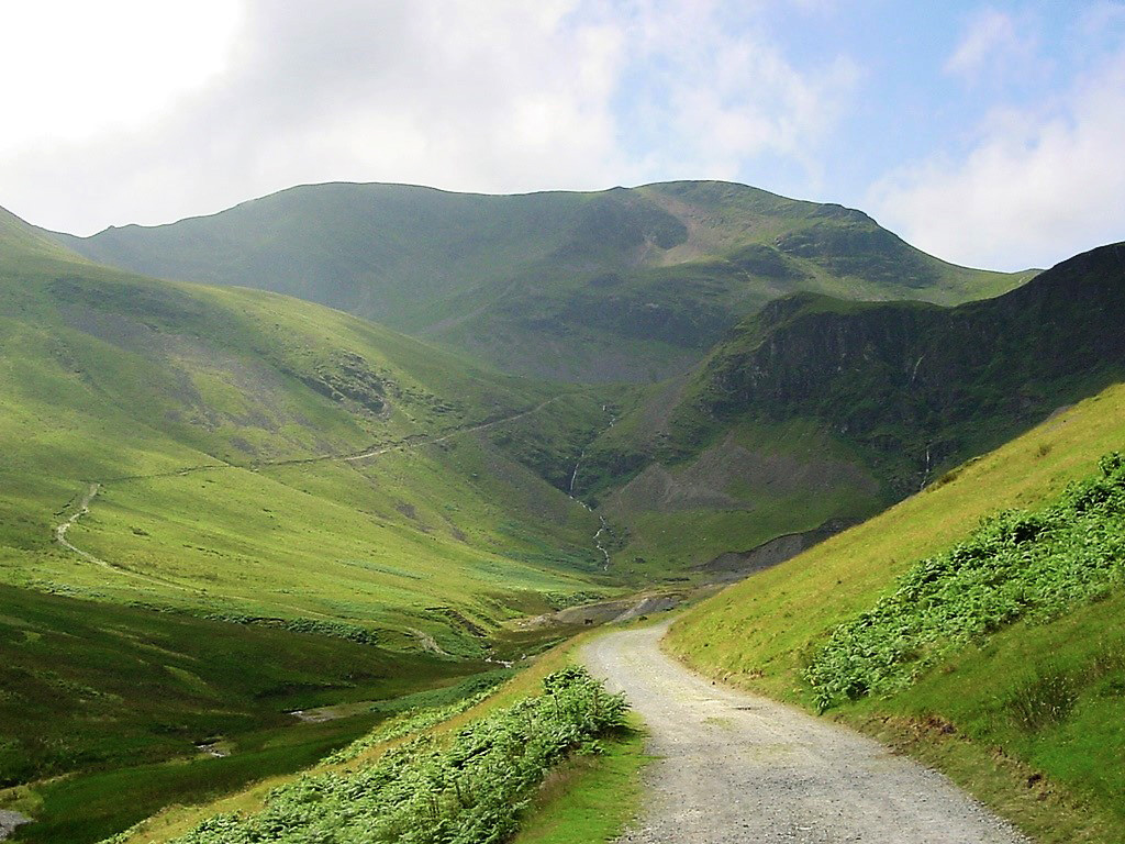 |
| Looking back along the mine road to Crag Hill |
| |
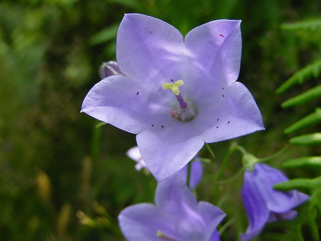 |
| Flowers alongside the mine road |
| |
 |
| Looking down towards Braithwaite |
| |
|