HARE SHAW -
SELSIDE PIKE - one of the lesser known fells, commanding the head of the shy and beautiful little valley of Swindale
BRANSTREE - is dreary and must disappoint all who climb it.
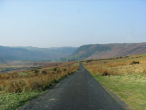
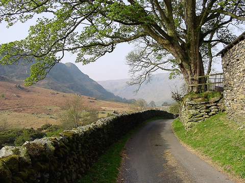
The single track approach to Swindale
Swindale
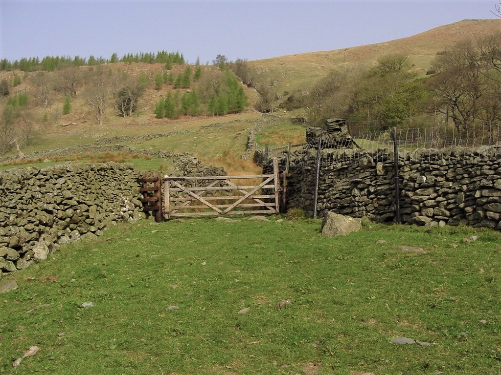
The start of the Old Corpse Road at Swindale Head
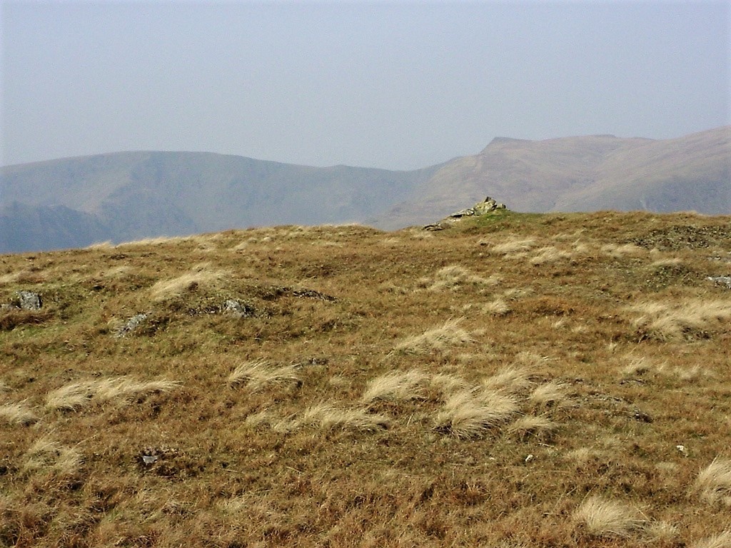
Hare Shaw summit with Kidsty Pike immediately behind and High Street to the left
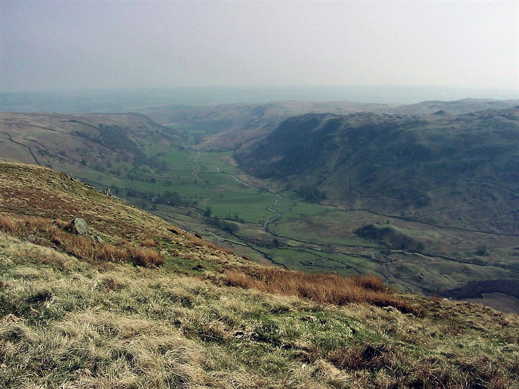
The view on the slopes of Selside looking back to Swindale
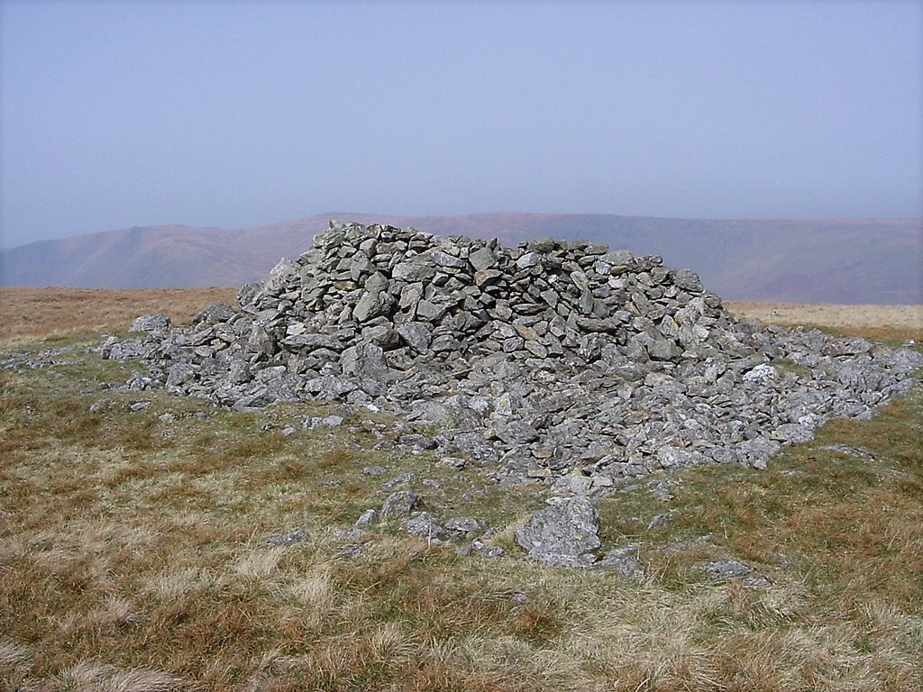
Selside summit
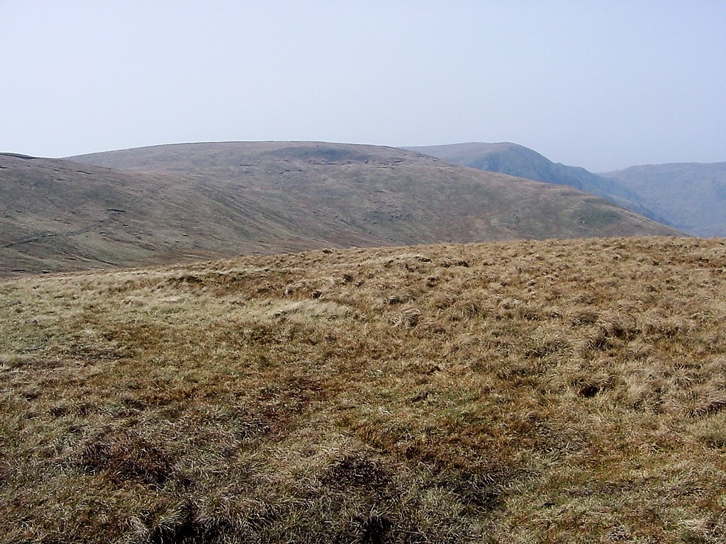
Branstree from Selside. Harter Fell is behind
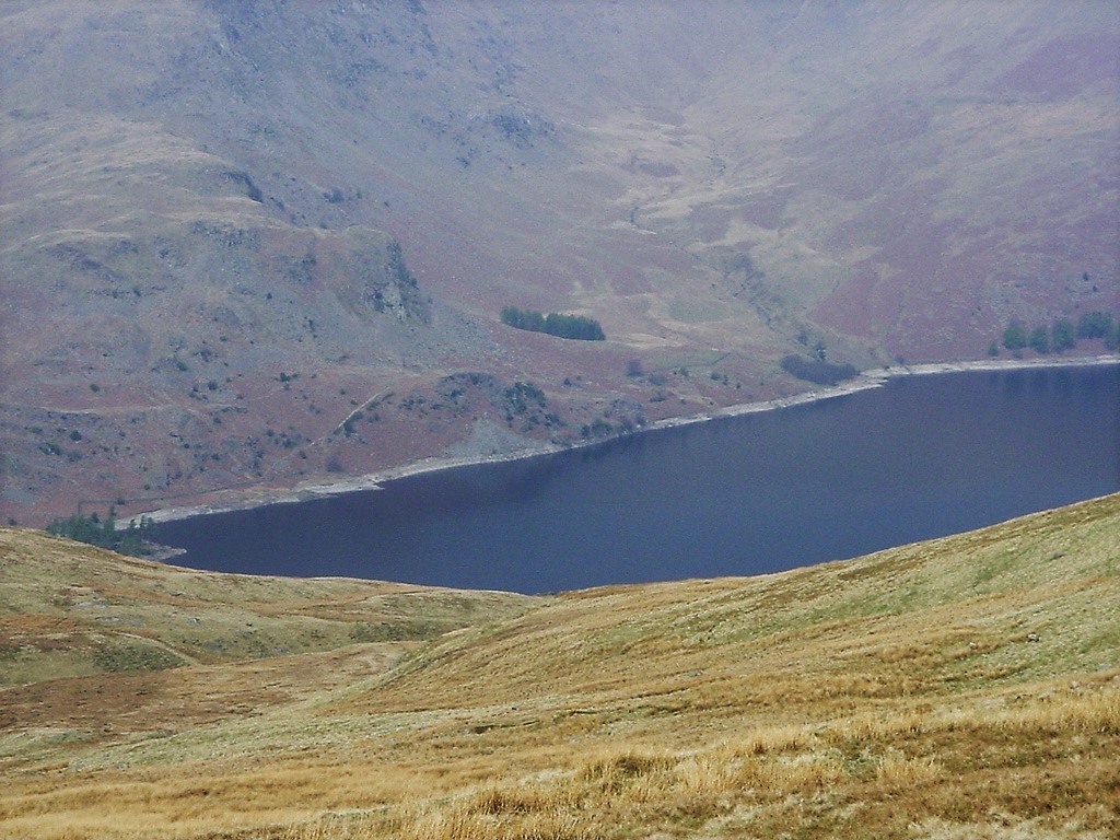
A glimpse of Haweswater from the path between Selside and Branstree
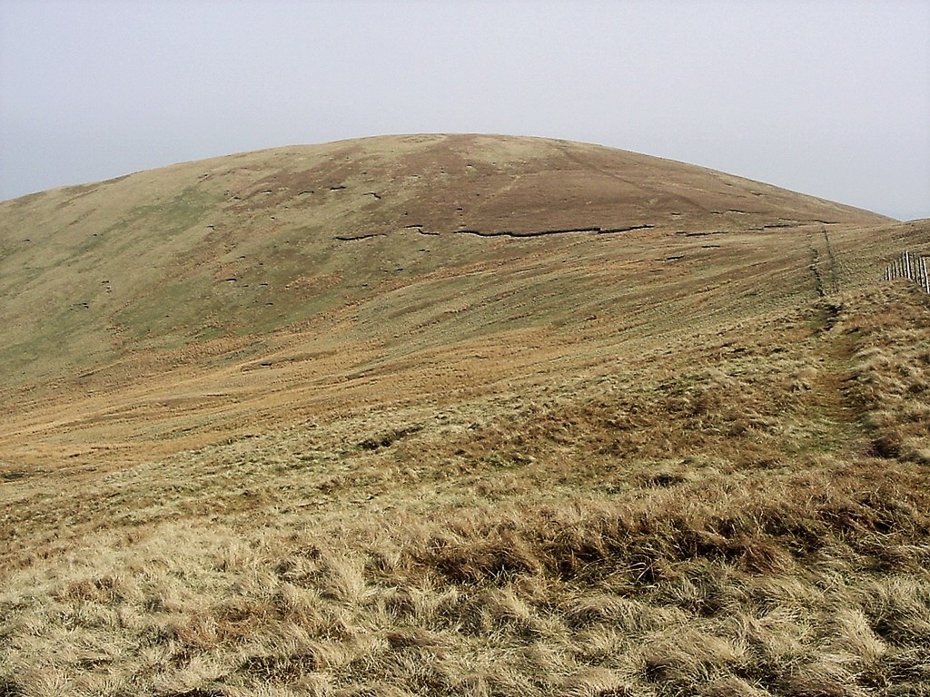
Looking back to Selside
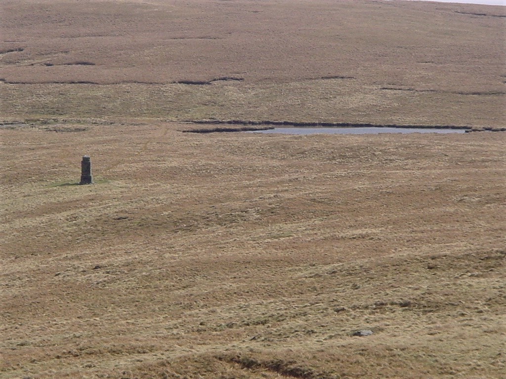
A pillar used to construct the Thirlmere aquaduct. The tarn is unnamed. Photo taken from near Artle Crag
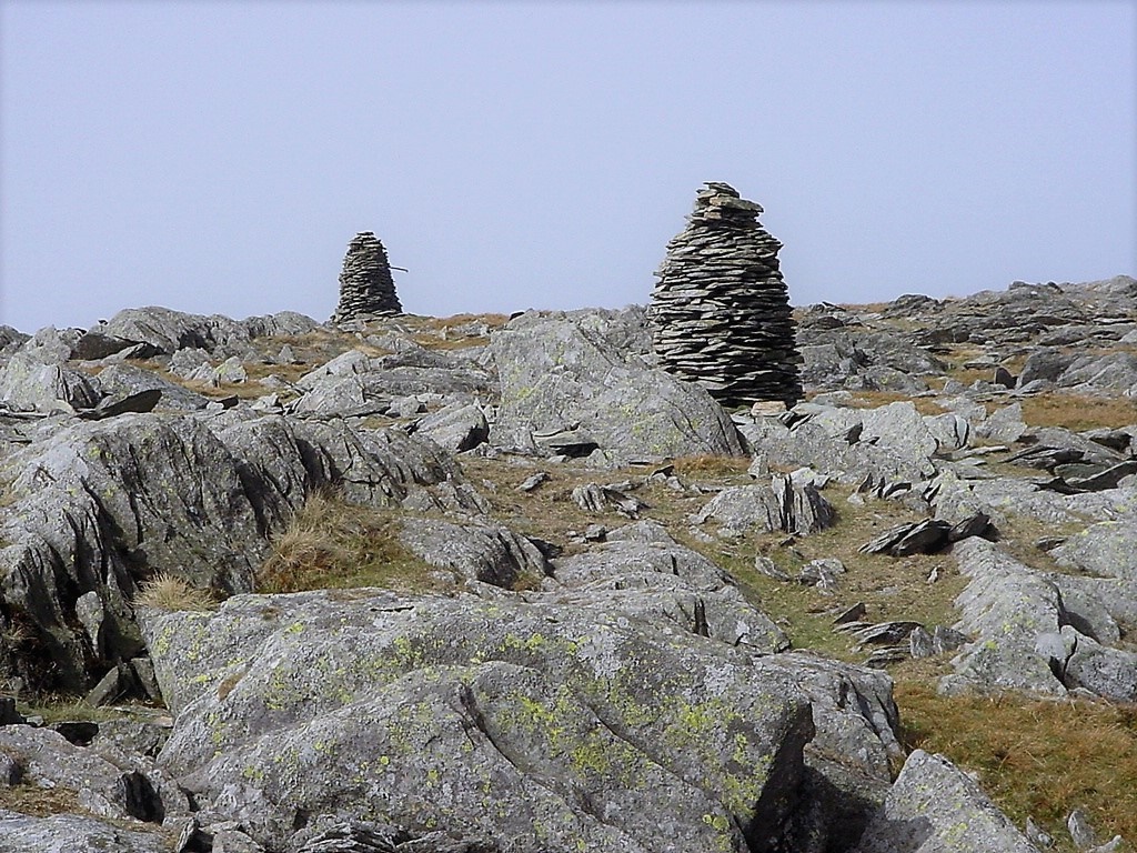
The two cairns on Artle Crag
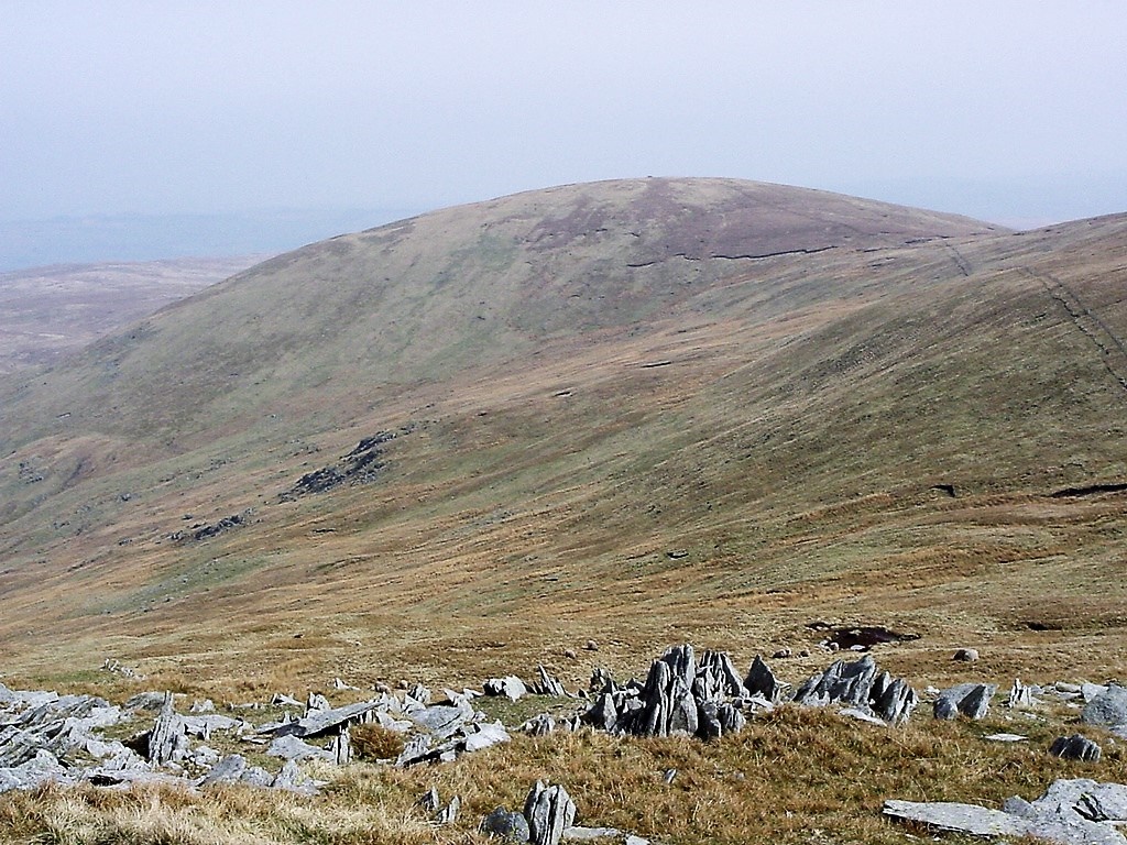
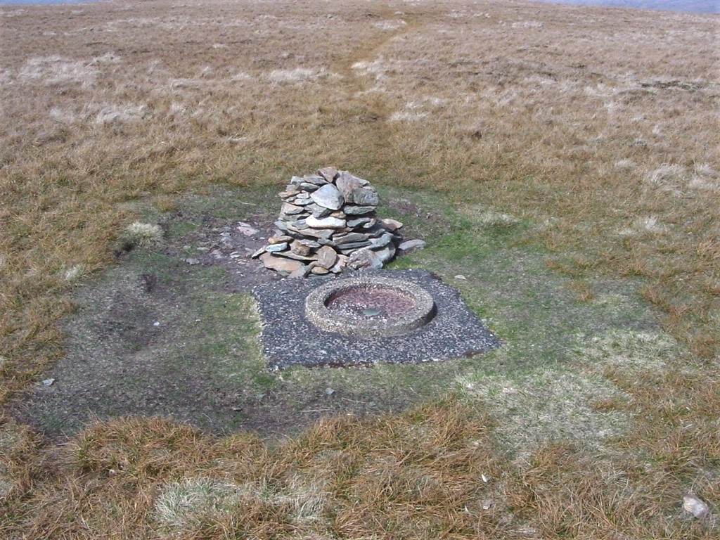
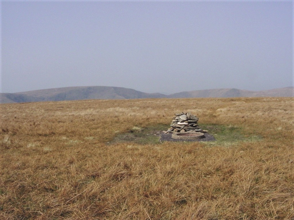
Another view of the summit with High Street left of centre
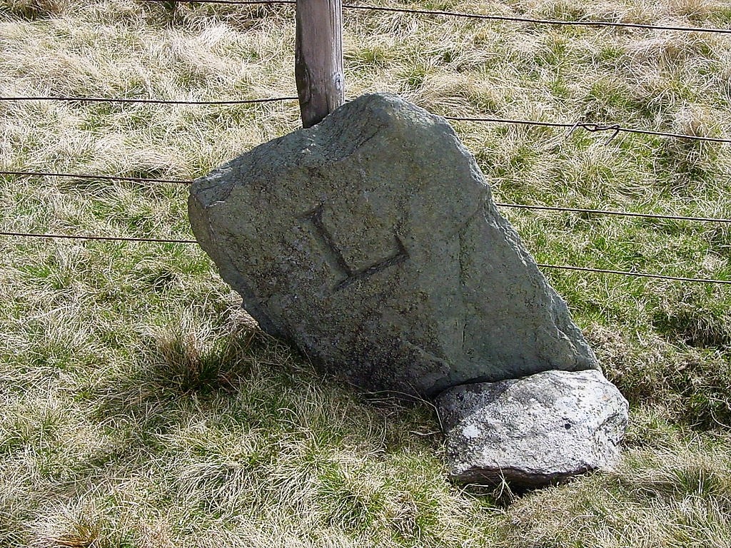
Boundary stone on the descent of Branstree
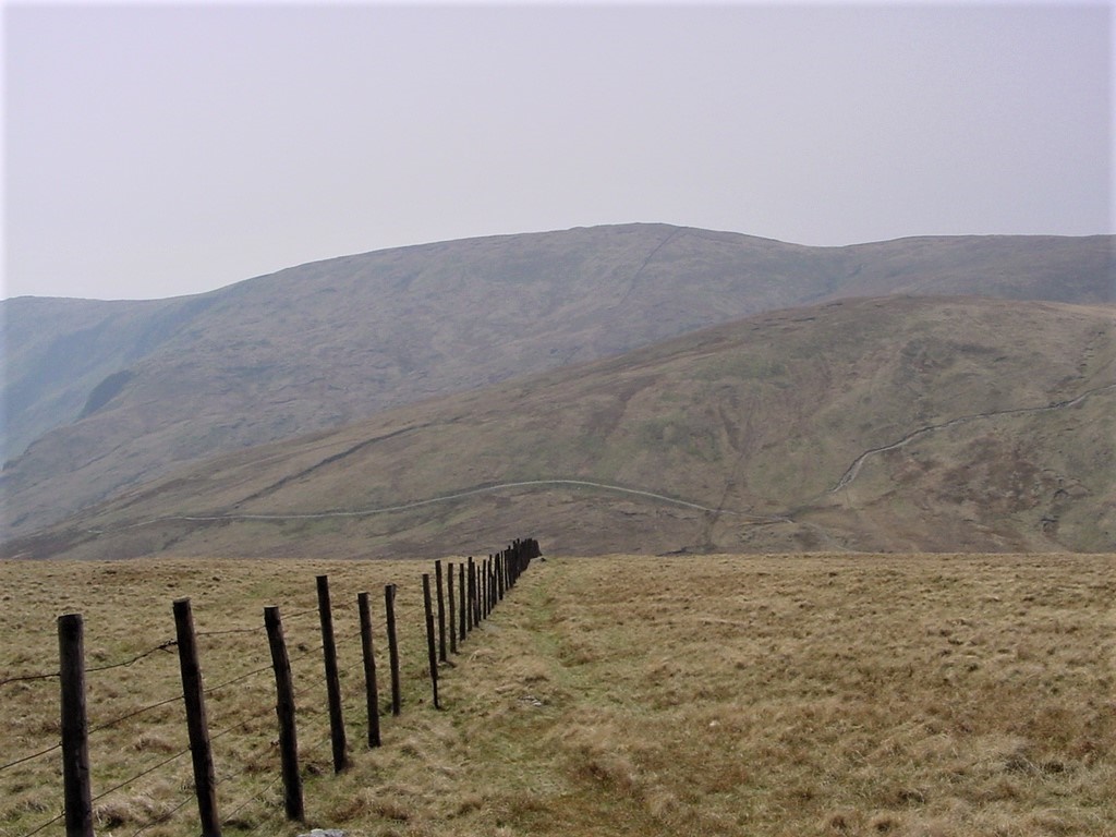
The descent from Branstree to Gatescarth Pass
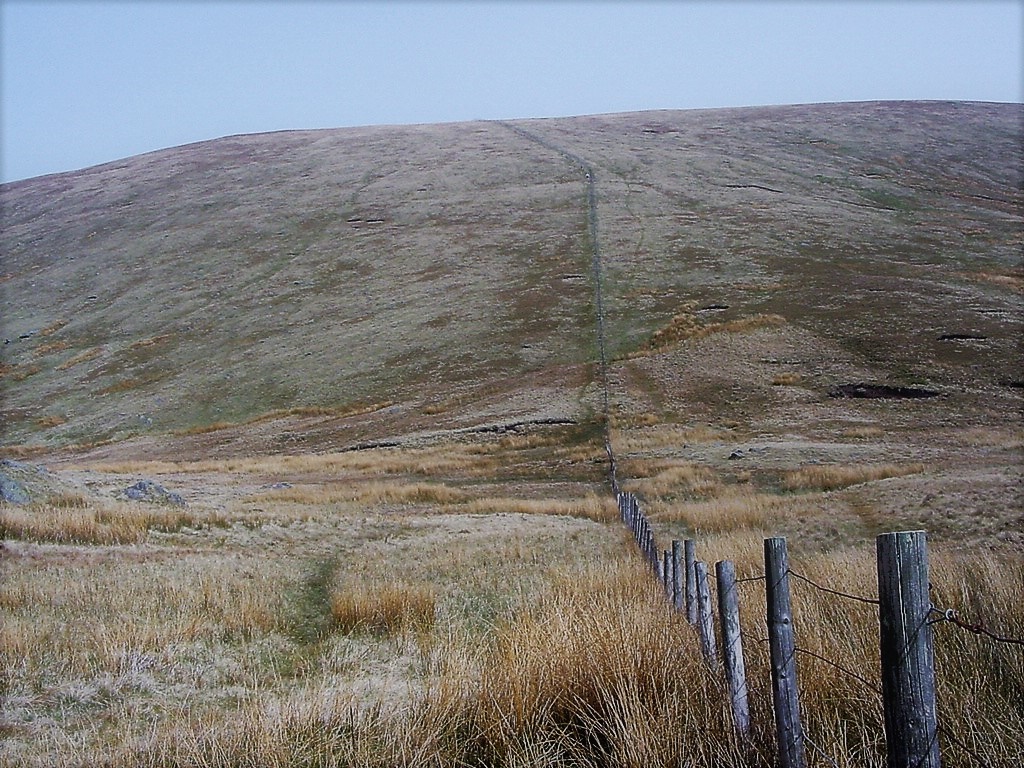
Looking back up Branstree from Gatescarth Pass
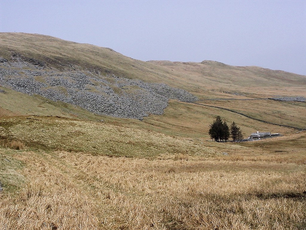
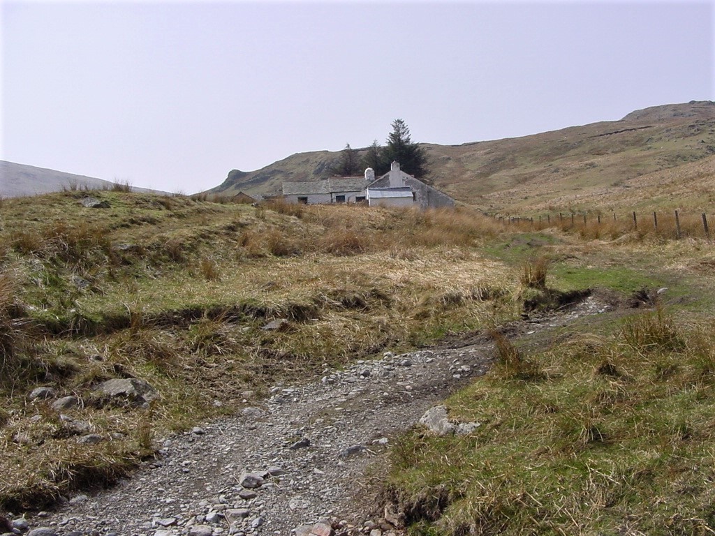
Mosedale quarry (L) and Mosedale Cottage (R) which is being renovated
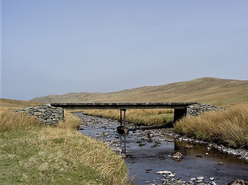
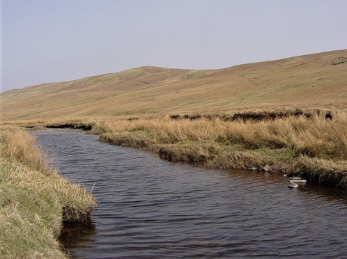
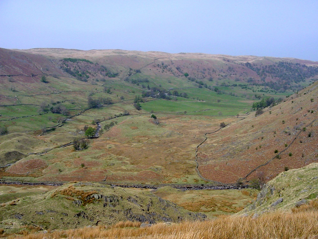
The view down to Swindale
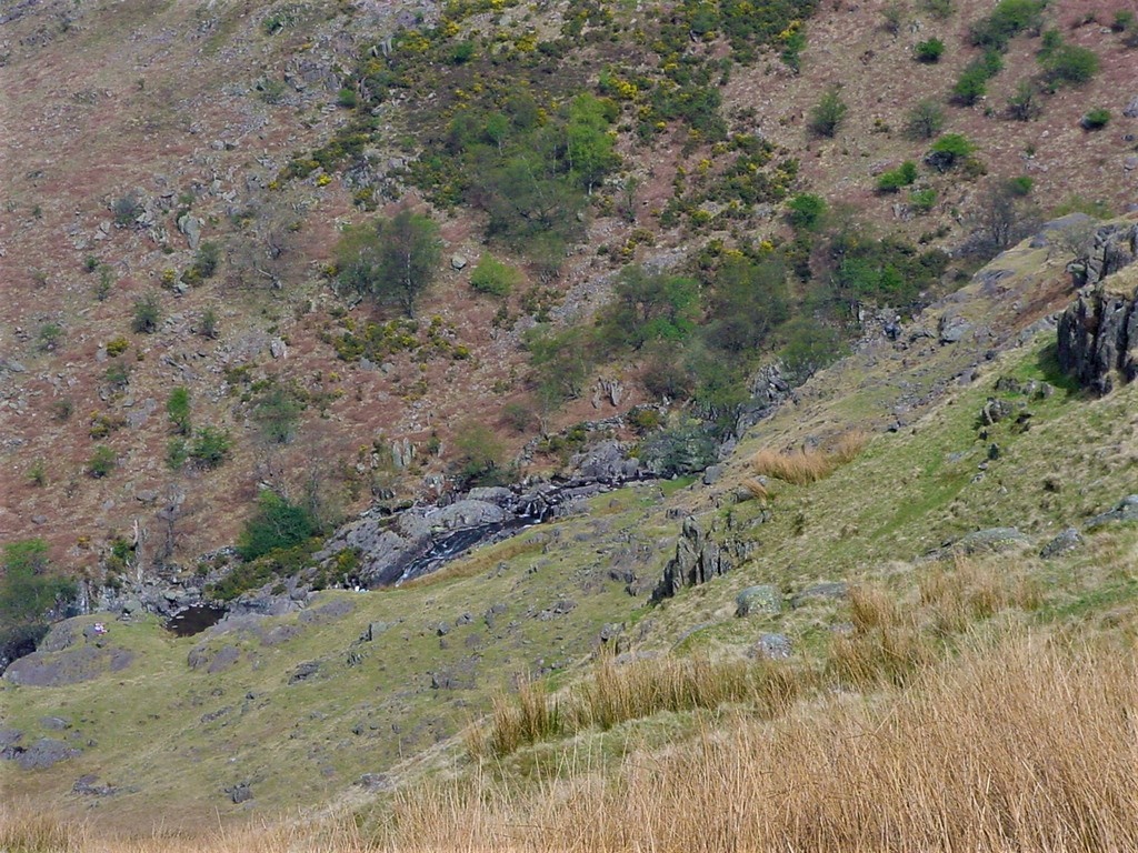
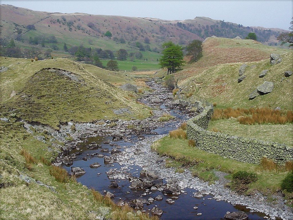
Swindale Beck
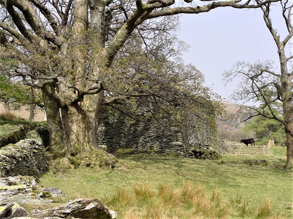
Approaching Swindale Head
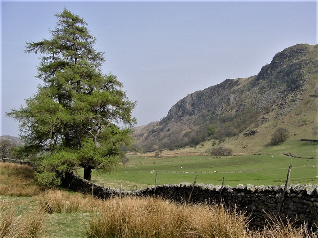
The view across Swindale to Outlaw Crag