BLENCATHRA - is one of the grandest objects in Lakeland. A mountain that compels attention. A. Wainwright |
| Blencathra (or Saddleback) | |||||
| Date | 23/11/2002 |
|
|||
| Walks done by: | Jed and Pam | ||||
| Weather: | Sunny to start, but rain on the descent. Quite cold | ||||
| Distance | 5 miles. | ||||
| Started at: | Scales | ||||
| Height:- | |||||
| Blencathra | 2847' | ||||
|
|||||
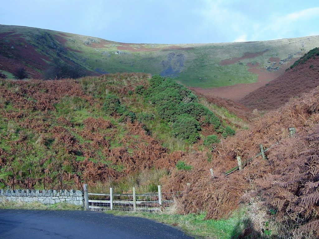
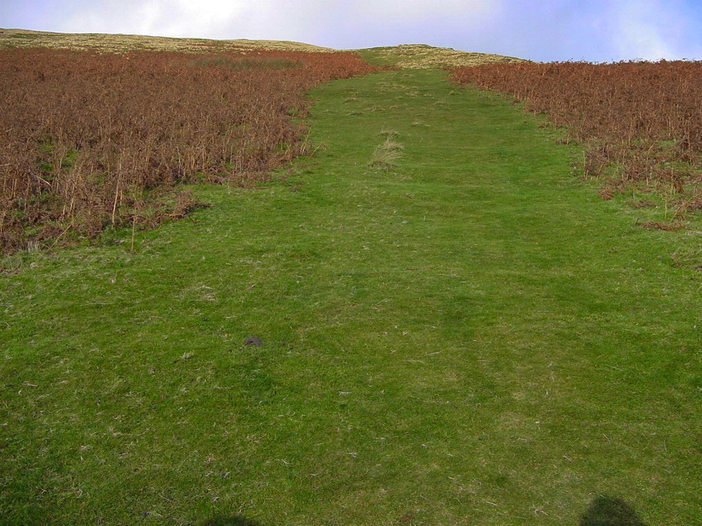
| Looking up Mousthwaite Comb from near the starting point | |||||
|
|||||
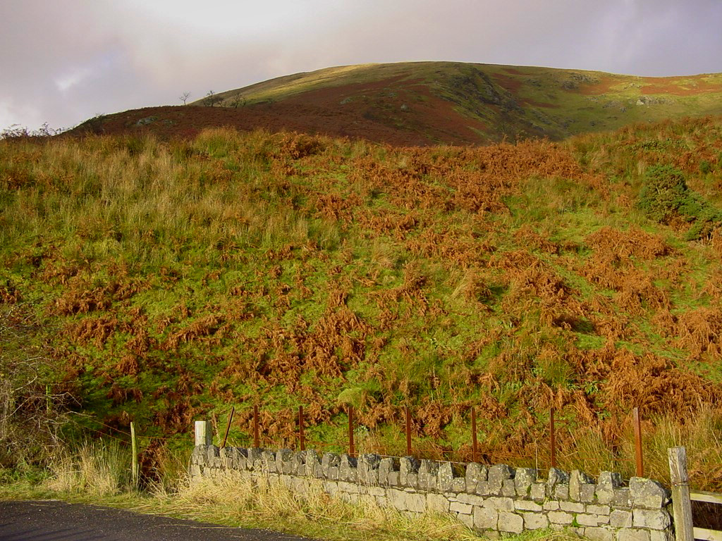
| Scales Fell - ie the lower slope of Blencathra | |||||
|
|||||
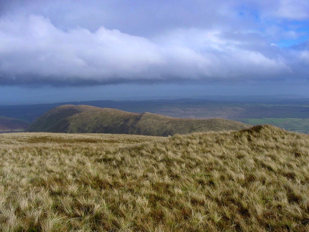
| Great Mell Fell from the lower slopes of Scales Fell | |||||
|
|||||
| Clough Head with Great Dodd behind, from the slopes of Scales Fell | |||||
|
|||||
| The start of the steep section of Scales Fell | |||||
|
|||||
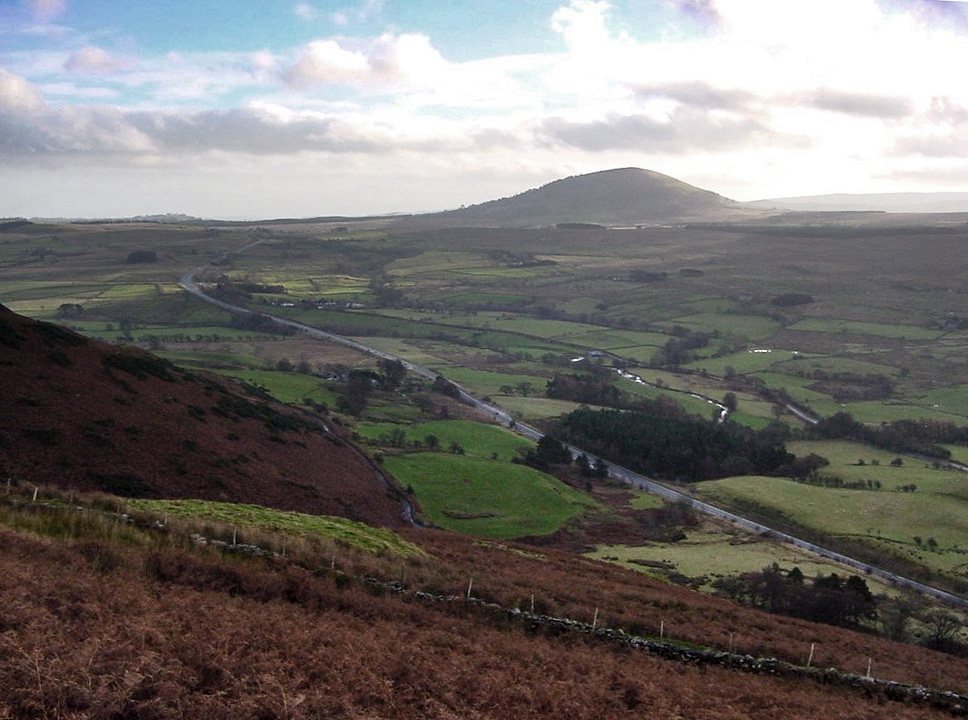
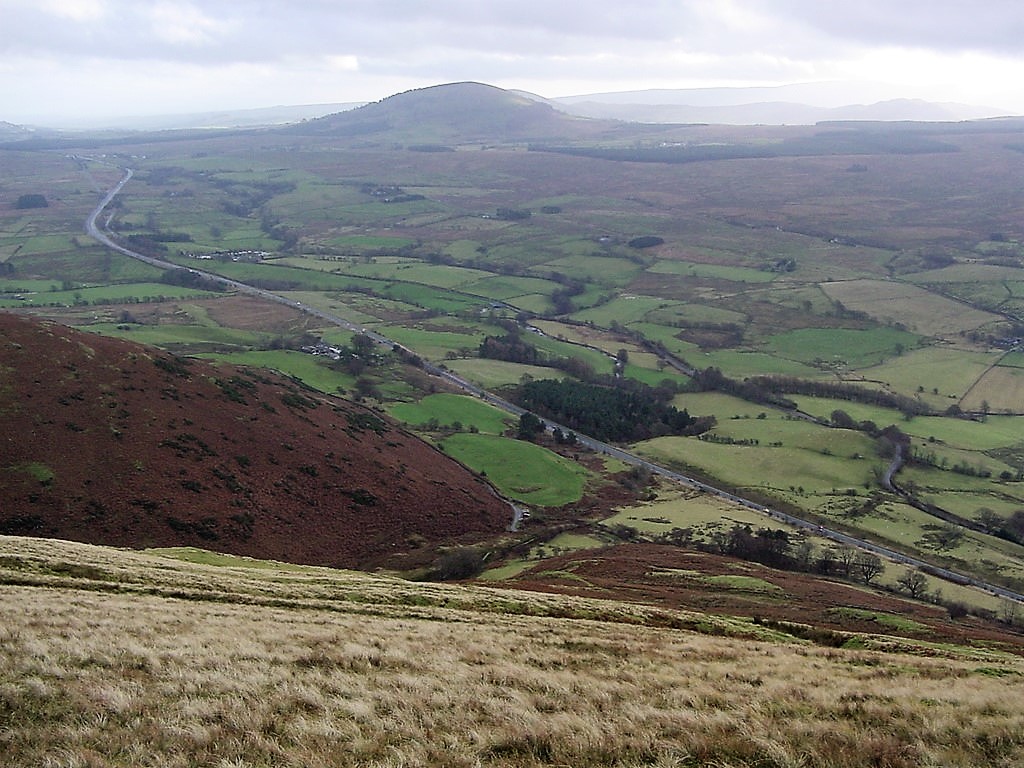
| The A66 Penrith - Keswick road and Great Mell Fell beyond | |||||
|
|||||
| The first glimpse of Blencathra summit (2847') | |||||
|
|||||
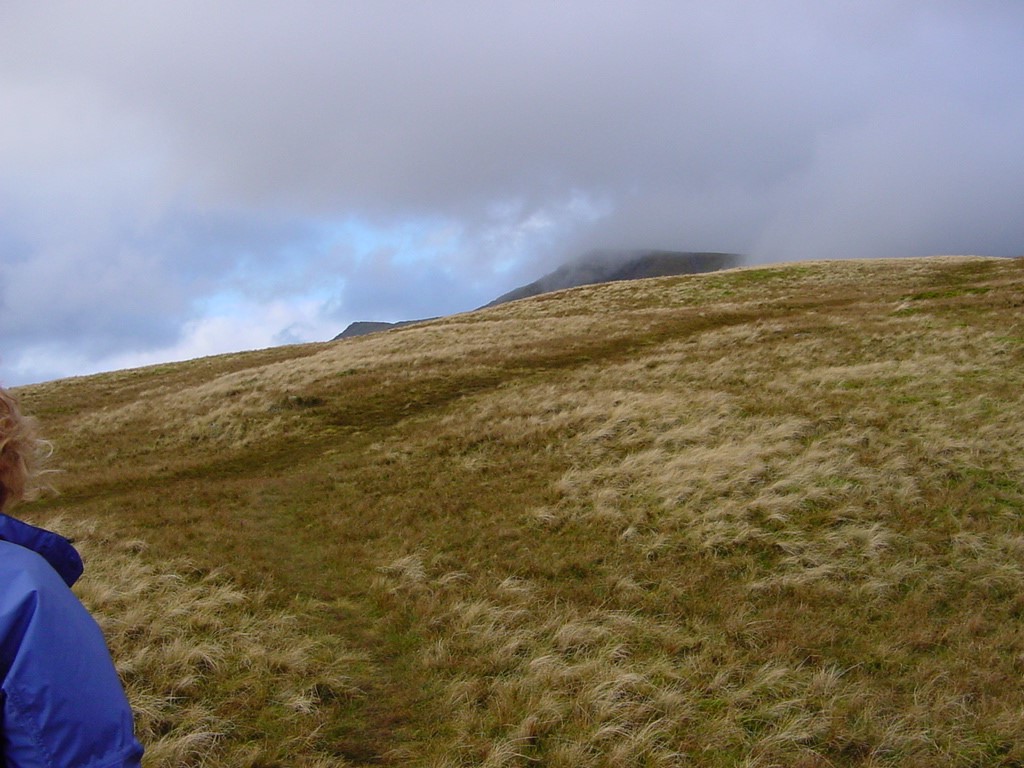
| Continuing the long ascent of Scales Fell | |||||
|
|||||
| Looking East to Souther Fell (1713') | |||||
|
|||||
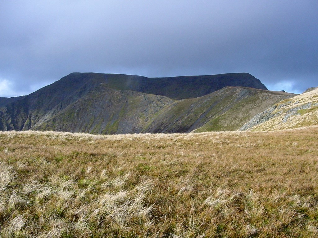
| The view which gave it its other name - Saddleback | |||||
|
|||||
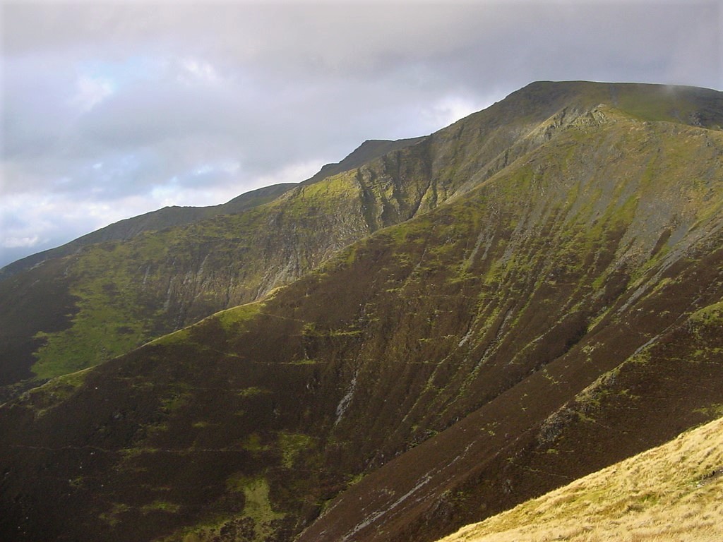
| Doddick Fell ridge with Halls Fell ridge behind | |||||
|
|||||
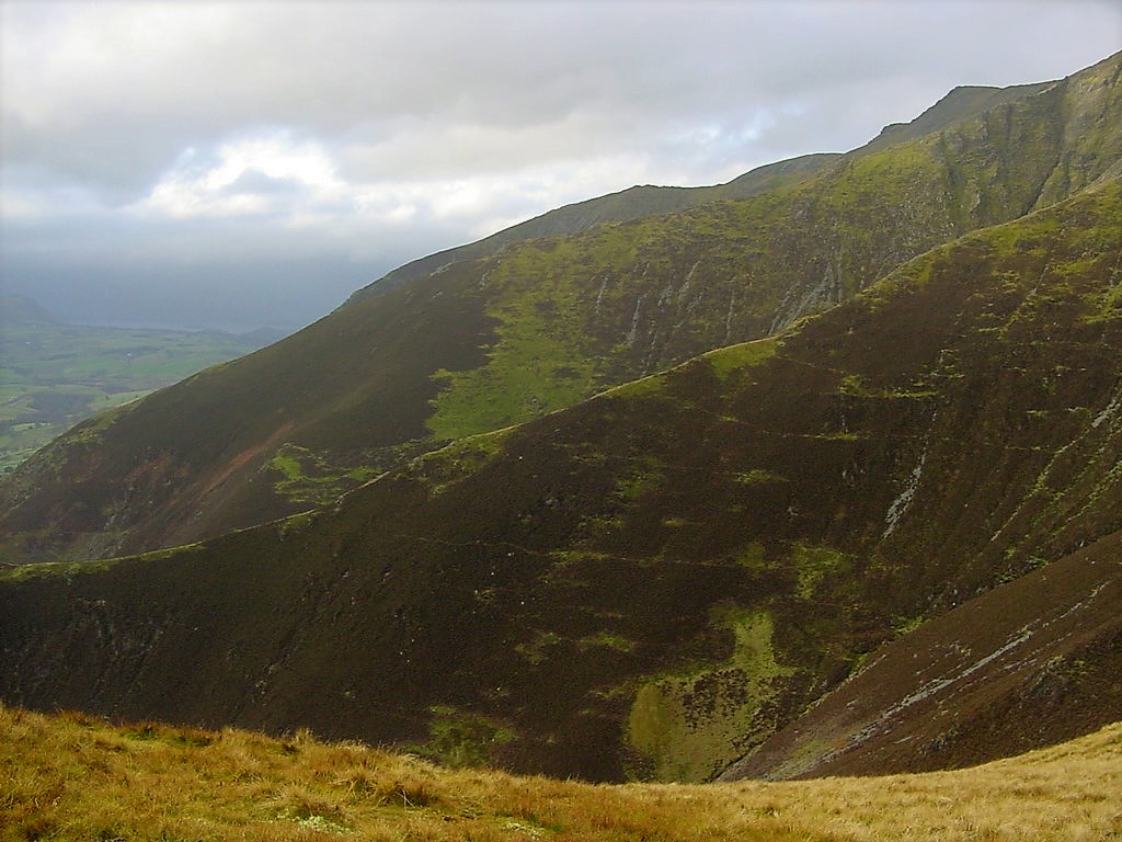
| Another view of the ridges | |||||
|
|||||
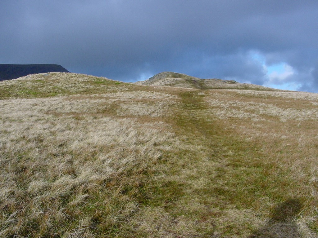
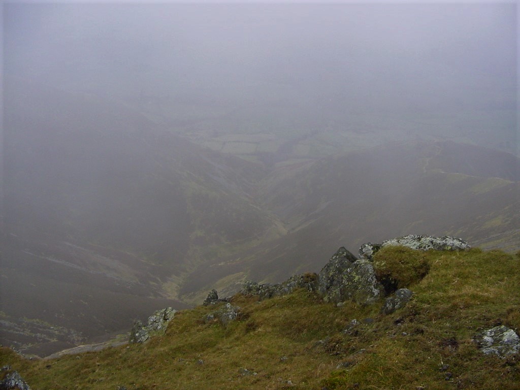
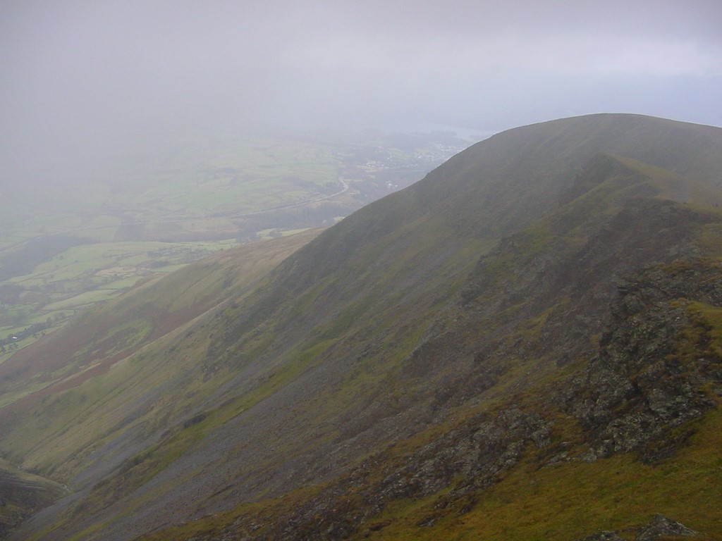
| Looking down from near the summit | |||||
|
|||||
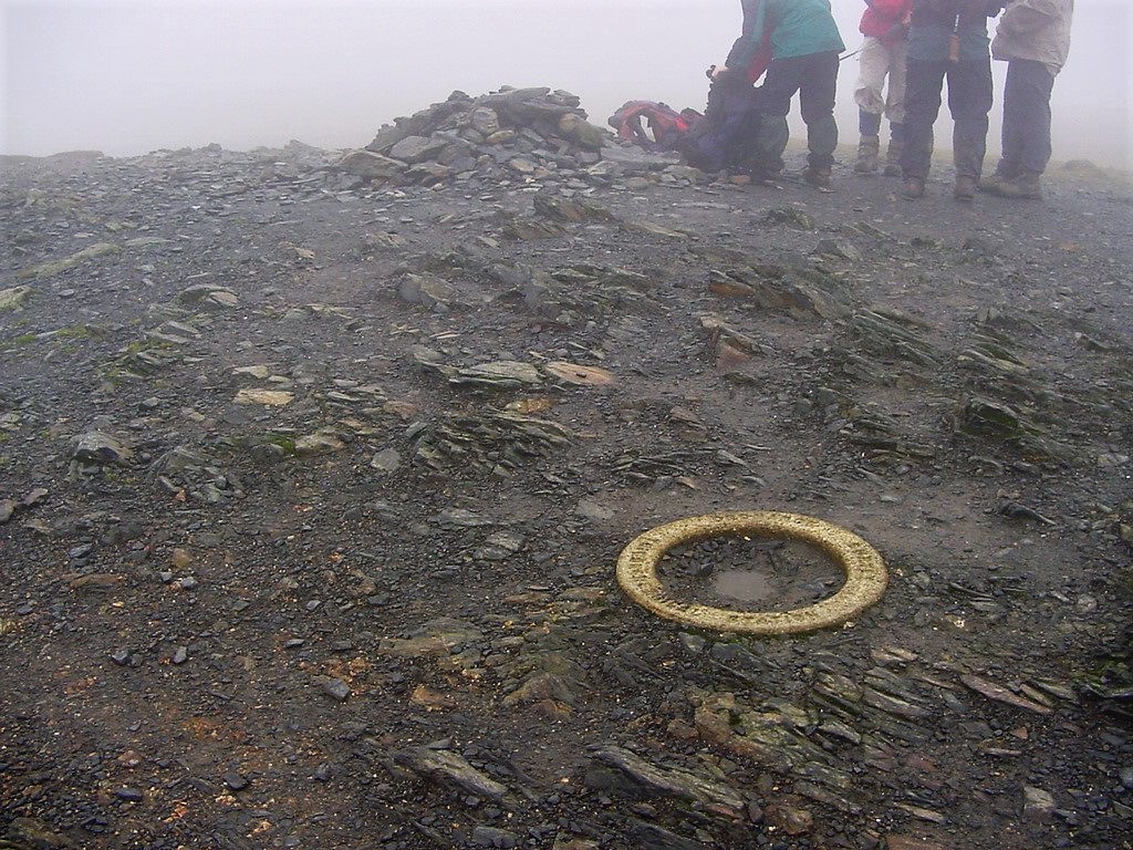
| The summit | |||||
|
|||||
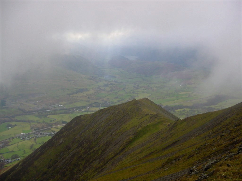
| Looking down to the A66 during a break in the cloud | |||||
|
|||||
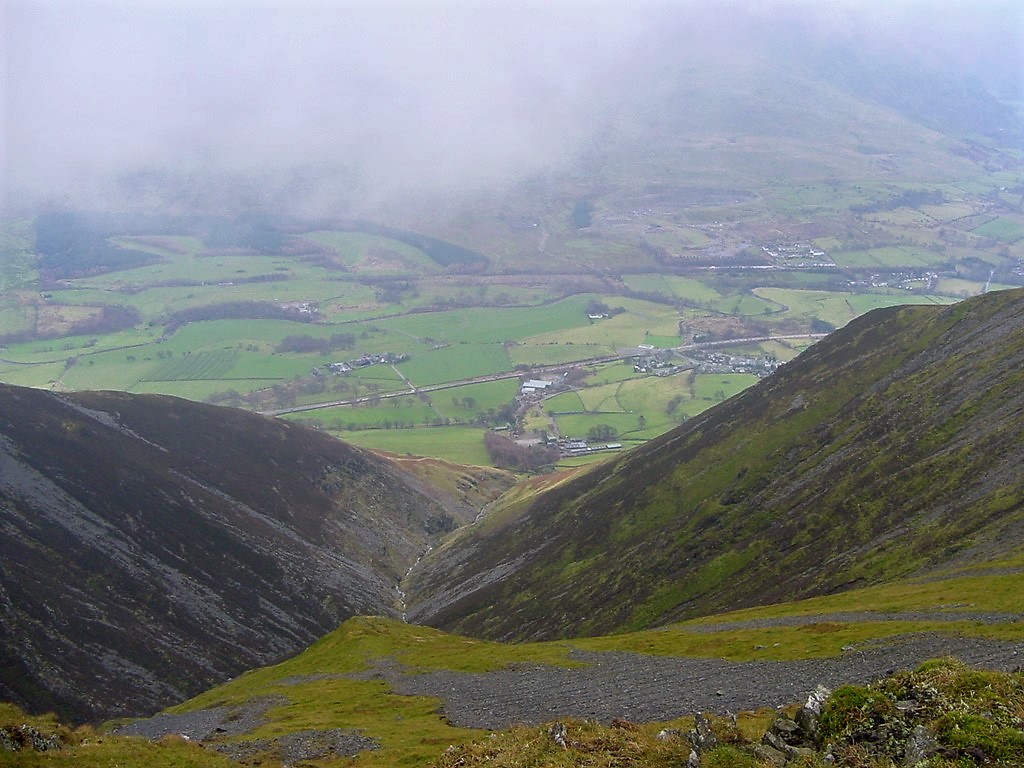
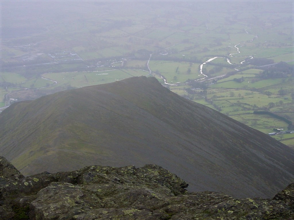
| Looking down Middle tongue | |||||
|
|||||
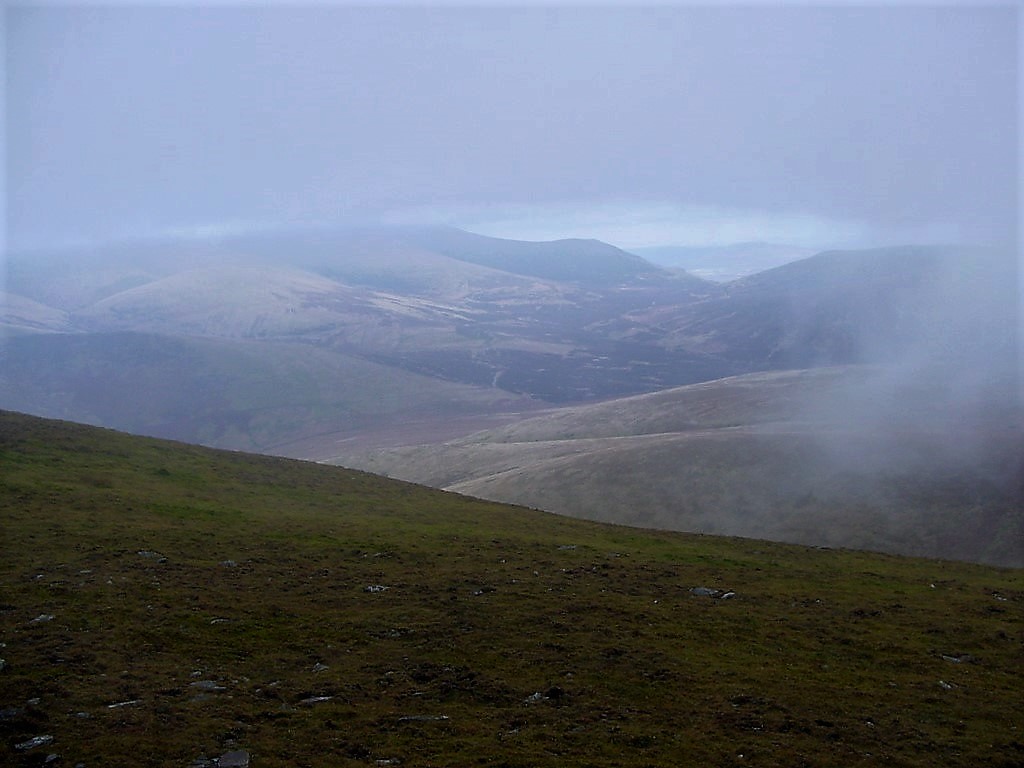
| Looking north | |||||
|
|||||
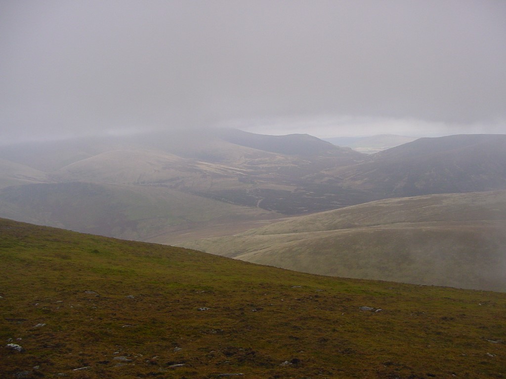
| Looking northwards again | |||||
|
|||||
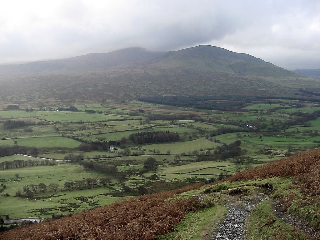
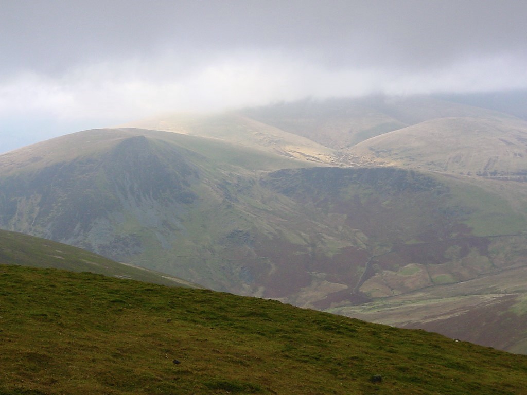
| Looking to Skiddaw which is in cloud | |||||
|
|||||
| Looking down Middle Tongue again | |||||
|
|||||
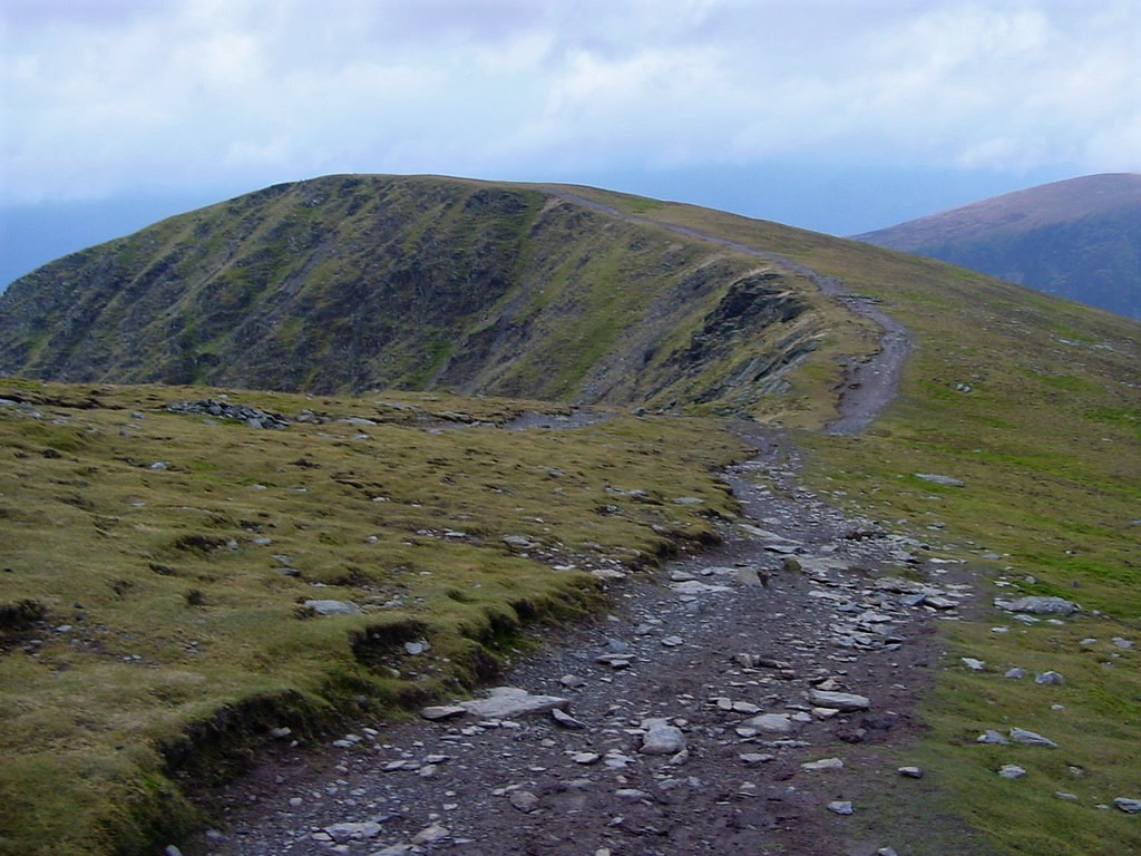
| The western ridge of Blencathra | |||||
|
|||||
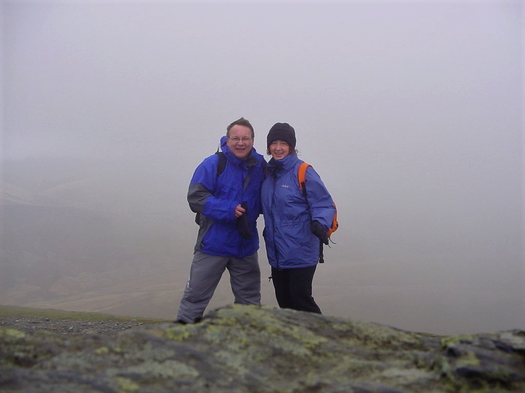
| Jed and Pam | |||||
|
|||||
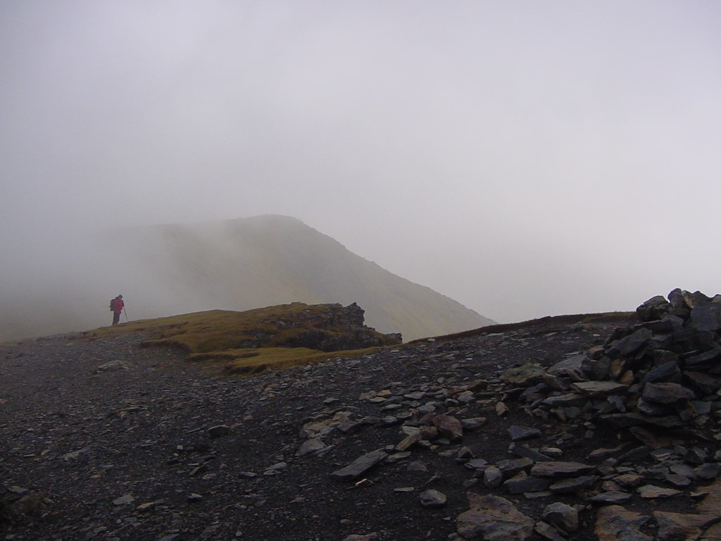
| Lone walker on the western ridge | |||||
|
|||||
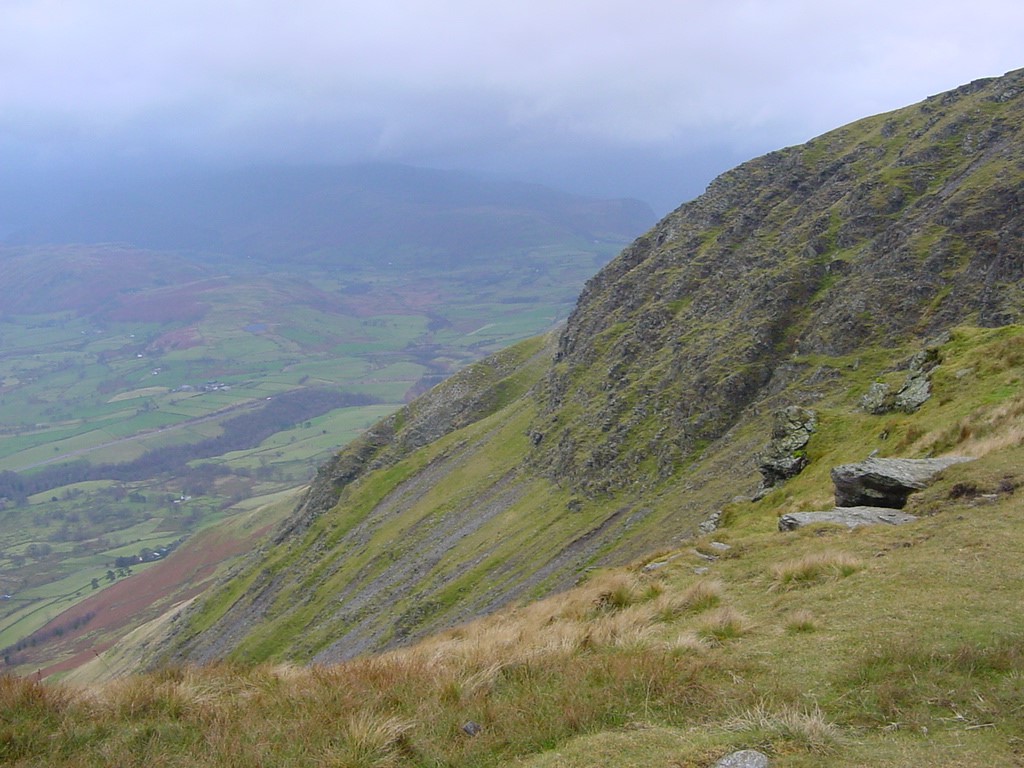
| Looking back to Blencathra and the ridges | |||||
|
|||||
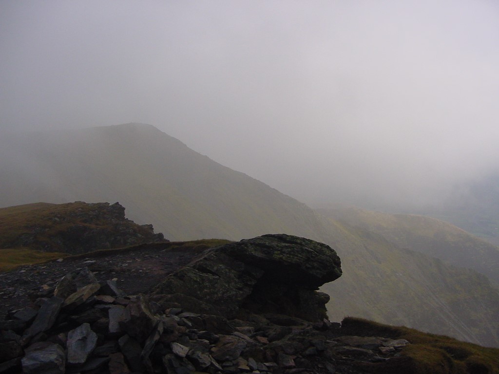
| Another view of the western ridge | |||||
|
|||||
| The steep drop from the ridge | |||||
|
|||||
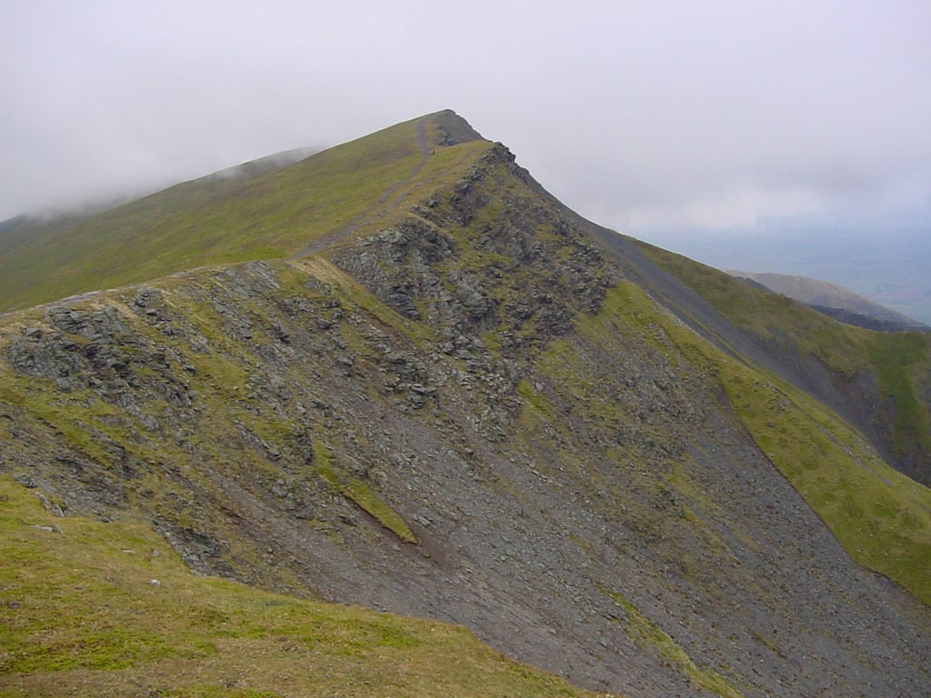
| Looking back along the western ridge towards the summit | |||||
|
|||||
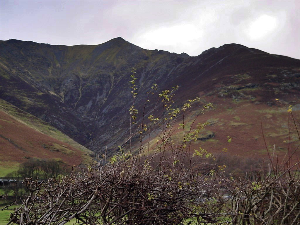
| Blencathra summit from the cycle route at Threlkeld | |||||